Topografische kaarten - Frankrijk
De kaarten van IGN (kort voor Institute Geographique National), wandelkaarten voor Frankrijk, zijn van een ongekend hoog niveau. Met name de wandelkaarten 1:25.000 vinden wij geweldig: werkelijk alles staat erop, de kaarten bevatten zeer veel details en het kleurgebruik is fantastisch, waardoor alles ook nog eens heel goed leesbaar. Je hoort het: wij zijn fan van deze kaarten!
 Wandelkaart - Topografische kaart 2121 SB - Serie Bleue Mer | IGN - Institut Géographique National
 Wandelkaart - Topografische kaart 2121OT Blois - Chambord - Cheverny | IGN - Institut Géographique National
 Wandelkaart - Topografische kaart 2122 SB - Serie Bleue Romorantin-Lanthenay | IGN - Institut Géographique National
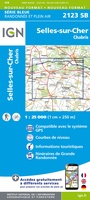 Wandelkaart - Topografische kaart 2123 SB - Serie Bleue Selles-sur-Cher, Chabris | IGN - Institut Géographique National
 Wandelkaart - Topografische kaart 2124 SB - Serie Bleue Lucay-le-Male | IGN - Institut Géographique National
 Wandelkaart - Topografische kaart 2125 SB - Serie Bleue Châteauroux, Levroux, Villedieu-sur-Indre | IGN - Institut Géographique National
 Wandelkaart - Topografische kaart 2126 SB - Serie Bleue Le Poinçonnet, Velles, Luant | IGN - Institut Géographique National
 Topografische kaart - Wandelkaart 2127 SB - Serie Bleue Argenton-sur-Creuse | IGN - Institut Géographique National
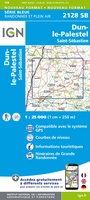 Wandelkaart - Topografische kaart 2128 SB - Serie Bleue Dun-le-Palestel | IGN - Institut Géographique National★★★★★
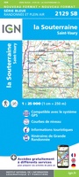 Wandelkaart - Topografische kaart 2129 SB - Serie Bleue La Souterraine | IGN - Institut Géographique National
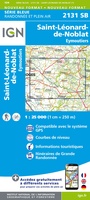 Wandelkaart - Topografische kaart 2131 SB - Serie Bleue St-Léonard-de-Noblat, Eymoutiers | IGN - Institut Géographique National
 Wandelkaart - Topografische kaart 2132 SB - Serie Bleue Châteauneuf-la-Forêt, Chamberet | IGN - Institut Géographique National
 Wandelkaart - Topografische kaart 2133 SB - Serie Bleue Uzerche, Treignac, Seilhac | IGN - Institut Géographique National
 Wandelkaart - Topografische kaart 2134 SB - Serie Bleue Tulle | IGN - Institut Géographique National
 Wandelkaart - Topografische kaart 2135 SB - Serie Bleue Beynat, Meyssac, Collonges-la-Rouge, Brive-la-Gaillarde | IGN - Institut Géographique National
 Wandelkaart - Topografische kaart 2137 SB - Serie Bleue Gramat | IGN - Institut Géographique National
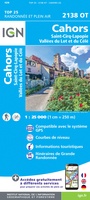 Wandelkaart - Topografische kaart 2138OT Cahors | IGN - Institut Géographique National★★★★★
 Wandelkaart - Topografische kaart 2139 SB - Serie Bleue Cahors | IGN - Institut Géographique National
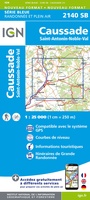 Wandelkaart - Topografische kaart 2140 SB - Serie Bleue Caussade | IGN - Institut Géographique National
 Wandelkaart - Topografische kaart 2141 SB - Serie Bleue Nègrepelisse | IGN - Institut Géographique National★★★★★
Laatste reviews

De wandelingen worden uitgebreid beschreven. Soms mis je onderweg een pad omdat wegbewijzering ontbreekt waar je hem zou verwachten. Dan loop je maar weer terug …
★★★★★ door Elisabeth Hoeke 16 april 2026 | Heeft dit artikel gekocht
Ik gebruik deze kaart omdat ik een reis wil volgen van meerdere personen. Heb er veel plezier van.
★★★★★ door Loes Vechtmann 15 april 2026 | Heeft dit artikel gekocht
Dit boek heeft me veel inzicht gegeven hoe om te gaan met jezelf in de wildernis. Een fijn, kwetsbaar en oprecht geschreven boek met veel …
★★★★★ door Arnold Jippes 15 april 2026 | Heeft dit artikel gekocht
The DK Eyewitness travel guide for Florence & Tuscany is an excellent guide with lots of details, including helpful photographs maps and diagrams of the …
★★★★★ door Andrew Wedgner 15 april 2026 | Heeft dit artikel gekocht