Topografische kaarten - Frankrijk
De kaarten van IGN (kort voor Institute Geographique National), wandelkaarten voor Frankrijk, zijn van een ongekend hoog niveau. Met name de wandelkaarten 1:25.000 vinden wij geweldig: werkelijk alles staat erop, de kaarten bevatten zeer veel details en het kleurgebruik is fantastisch, waardoor alles ook nog eens heel goed leesbaar. Je hoort het: wij zijn fan van deze kaarten!
 Wandelkaart - Topografische kaart 2446 SB - Serie Bleue Ferrals-les-Corbières, Capendu | IGN - Institut Géographique National
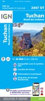 Wandelkaart - Topografische kaart 2447OT Tuchan | IGN - Institut Géographique National
 Wandelkaart - Topografische kaart 2448OT Thuir, Ille-sur-Tet, Latour-de-France, Estagel, Millas | IGN - Institut Géographique National
 Wandelkaart - Topografische kaart 2449OT Céret, Amélie-les-Bains-Palalda, Vallée du Tech | IGN - Institut Géographique National
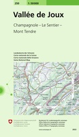 Wandelkaart - Topografische kaart 250 Vallée de Joux | Swisstopo
 Wandelkaart - Topografische kaart 2504 SB - Serie Bleue Lille - Roubaix - Tourcoing | IGN - Institut Géographique National
 Wandelkaart - Topografische kaart 2505 SB - Serie Bleue Leforest - Cysoing - Hénin-Beaumont - Carvin | IGN - Institut Géographique National
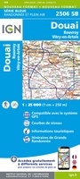 Wandelkaart - Topografische kaart 2506 SB - Serie Bleue Douai - Rouvroy - Vitry-en-Artois | IGN - Institut Géographique National
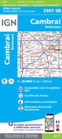 Wandelkaart - Topografische kaart 2507 SB - Serie Bleue Cambrai - Bertincourt | IGN - Institut Géographique National
 Wandelkaart - Topografische kaart 2508 SB - Serie Bleue Roisel - Péronne | IGN - Institut Géographique National
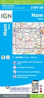 Wandelkaart - Topografische kaart 2509 SB - Serie Bleue Ham - Nesle | IGN - Institut Géographique National
 Wandelkaart - Topografische kaart 251 La Sarraz | Swisstopo
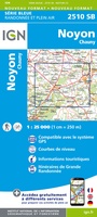 Wandelkaart - Topografische kaart 2510 SB - Serie Bleue Chauny - Noyon | IGN - Institut Géographique National
 Wandelkaart - Topografische kaart 2511OT Forêts de Compiègne | IGN - Institut Géographique National★★★★★
 Wandelkaart - Topografische kaart 2512OT Villers-Cotterêts | IGN - Institut Géographique National
 Wandelkaart - Topografische kaart 2513OT Meaux - Vallée de l'Ourcq, Centre | IGN - Institut Géographique National
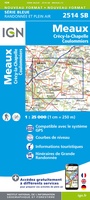 Wandelkaart - Topografische kaart 2514 SB - Serie Bleue Meaux | IGN - Institut Géographique National
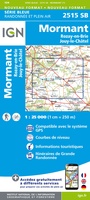 Wandelkaart - Topografische kaart 2515 SB - Serie Bleue Mormant, Rozay-en-Brie, Jouy-le-Châtel | IGN - Institut Géographique National
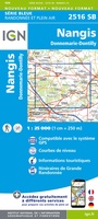 Wandelkaart - Topografische kaart 2516 SB - Serie Bleue Donnemarie-Dontilly, Nangis | IGN - Institut Géographique National
 Wandelkaart - Topografische kaart 2517 SB - Serie Bleue Montereau-Fault-Yonne, Moret-Loing-et-Orvanne | IGN - Institut Géographique National
Laatste reviews

Blij met een fietskaart, maar: Het was mij niet duidelijk dat bij een aparte fietskaart van het Gota-kanaal met die naamgeving, het westelijk deel tussen …
★★★★★ door Remco Korteweg 09 april 2026 | Heeft dit artikel gekocht
Op ansichtkaartformaat een prachtige reliëfkaart van Vogezen en Elzas: alleen al voor het vooraf genieten een aanrader
★★★★★ door R.P. Koster 08 april 2026 | Heeft dit artikel gekocht
De beste kaartenmaker van Frankrijk: Michelin. Weer met mooie toeritische tips van de Elzas: een aanrader
★★★★★ door R.P. Koster 08 april 2026 | Heeft dit artikel gekocht
Mooie wandelgids (ook om cadeau te geven) als je van wandelen op de Veluwe houdt. Duidelijk, goed gedocumenteerd, zo te gebruiken
★★★★★ door R.P. Koster 08 april 2026 | Heeft dit artikel gekocht