Winkelwagen
Geen items in winkelwagen
Ga naar winkelwagen
Topografische kaarten - Frankrijk
De kaarten van IGN (kort voor Institute Geographique National), wandelkaarten voor Frankrijk, zijn van een ongekend hoog niveau. Met name de wandelkaarten 1:25.000 vinden wij geweldig: werkelijk alles staat erop, de kaarten bevatten zeer veel details en het kleurgebruik is fantastisch, waardoor alles ook nog eens heel goed leesbaar. Je hoort het: wij zijn fan van deze kaarten!
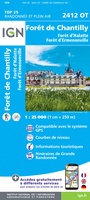 Wandelkaart - Topografische kaart 2412OT Forêt de Chantilly | IGN - Institut Géographique National★★★★★
 Wandelkaart - Topografische kaart 2413OT Dammartin-en-Goële, Centre | IGN - Institut Géographique National
 Wandelkaart - Topografische kaart 2414ET Marne-la-Vallée - Forêts: Crécy - Armainvilliers - Ferrières, Centre | IGN - Institut Géographique National
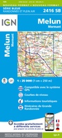 Wandelkaart - Topografische kaart 2416 SB - Serie Bleue Melun, Mormant | IGN - Institut Géographique National
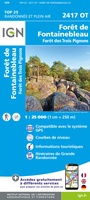 Wandelkaart - Topografische kaart 2417OT Forêt de Fontainebleau | IGN - Institut Géographique National★★★★★
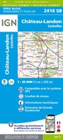 Wandelkaart - Topografische kaart 2418 SB - Serie Bleue Château-Landon, Corbeilles | IGN - Institut Géographique National
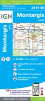 Wandelkaart - Topografische kaart 2419 SB - Serie Bleue Montargis - Lorris | IGN - Institut Géographique National
 Wandelkaart - Topografische kaart 2420 SB - Serie Bleue Châtillon-Coligny, Nogent-sur-Vernisson | IGN - Institut Géographique National
 Wandelkaart - Topografische kaart 2421 SB - Serie Bleue Briare | IGN - Institut Géographique National
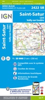 Wandelkaart - Topografische kaart 2422 SB - Serie Bleue St-Satur, Léré, Vailly-sur-Sauldre | IGN - Institut Géographique National
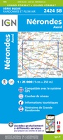 Wandelkaart - Topografische kaart 2424 SB - Serie Bleue Nérondes - Avord | IGN - Institut Géographique National
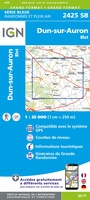 Wandelkaart - Topografische kaart 2425 SB - Serie Bleue Dun-sur-Aubron - Blet | IGN - Institut Géographique National
 Topografische kaart - Wandelkaart 2426 SB - Serie Bleue Charenton-du-Cher | IGN - Institut Géographique National
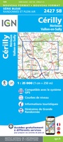 Topografische kaart - Wandelkaart 2427 SB - Serie Bleue Cérilly | IGN - Institut Géographique National
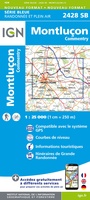 Wandelkaart - Topografische kaart 2428 SB - Serie Bleue Montluçon | IGN - Institut Géographique National
 Wandelkaart - Topografische kaart 2429 SB - Serie Bleue Saint-Éloy-les-Mines | IGN - Institut Géographique National
 Wandelkaart - Topografische kaart 2430 SB - Serie Bleue Saint-Gervais d'Auvergne | IGN - Institut Géographique National
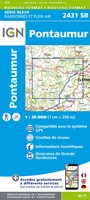 Wandelkaart - Topografische kaart 2431 SB - Serie Bleue Pontaumur | IGN - Institut Géographique National
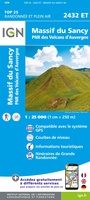 Wandelkaart - Topografische kaart 2432ET Massif du Sancy | IGN - Institut Géographique National★★★★★
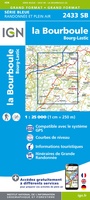 Topografische kaart - Wandelkaart 2433 SB - Serie Bleue la Bourboule | IGN - Institut Géographique National
Laatste reviews

Super!
Super, en snel verzonden !
★★★★★ door Miriam 23 juni 2026 | Heeft dit artikel gekocht
Kwaliteit zoals verwacht
Eens met de beschrijving van het product. De schaal van 1:150.000 vind ik zeer prettig als automobilist. Als fietser zou ik een kleinere schaal prefereren. …
★★★★★ door Joop van Meer 23 juni 2026 | Heeft dit artikel gekocht
Super handig om mijn stad te verkennen
Super handig om mijn stad te verkennen met al zijn opbrekingen erop!
★★★★★ door Yolande Selter 23 juni 2026 | Heeft dit artikel gekocht
Prima kaart van baltische landen
Prima kaart van Baltische landen gekocht. Erg jammer dat de winkel dicht is!
★★★★★ door Henk 21 juni 2026 | Heeft dit artikel gekocht