Topografische kaarten - Frankrijk
De kaarten van IGN (kort voor Institute Geographique National), wandelkaarten voor Frankrijk, zijn van een ongekend hoog niveau. Met name de wandelkaarten 1:25.000 vinden wij geweldig: werkelijk alles staat erop, de kaarten bevatten zeer veel details en het kleurgebruik is fantastisch, waardoor alles ook nog eens heel goed leesbaar. Je hoort het: wij zijn fan van deze kaarten!
 Wandelkaart - Topografische kaart 2408 SB - Serie Bleue Bray-sur-Somme, Albert | IGN - Institut Géographique National
 Wandelkaart - Topografische kaart 2409 SB - Serie Bleue Roye | IGN - Institut Géographique National
 Wandelkaart - Topografische kaart 241 Val de Travers | Swisstopo
 Wandelkaart - Topografische kaart 2410 SB - Serie Bleue Ressons-sur-Matz, Montdidier | IGN - Institut Géographique National
 Wandelkaart - Topografische kaart 2411 SB - Serie Bleue Estrées-St-Denis, Clermont | IGN - Institut Géographique National
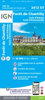 Wandelkaart - Topografische kaart 2412OT Forêt de Chantilly | IGN - Institut Géographique National★★★★★
 Wandelkaart - Topografische kaart 2413OT Dammartin-en-Goële, Centre | IGN - Institut Géographique National
 Wandelkaart - Topografische kaart 2414ET Marne-la-Vallée - Forêts: Crécy - Armainvilliers - Ferrières, Centre | IGN - Institut Géographique National
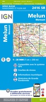 Wandelkaart - Topografische kaart 2416 SB - Serie Bleue Melun, Mormant | IGN - Institut Géographique National
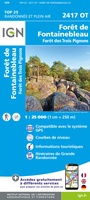 Wandelkaart - Topografische kaart 2417OT Forêt de Fontainebleau | IGN - Institut Géographique National★★★★★
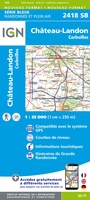 Wandelkaart - Topografische kaart 2418 SB - Serie Bleue Château-Landon, Corbeilles | IGN - Institut Géographique National
 Wandelkaart - Topografische kaart 2419 SB - Serie Bleue Montargis - Lorris | IGN - Institut Géographique National
 Wandelkaart - Topografische kaart 260 St-Cerque | Swisstopo
 Wandelkaart - Topografische kaart 2605 SB - Serie Bleue Condé-sur-l'Escaut, St-Amand-les-Eaux | IGN - Institut Géographique National
 Wandelkaart - Topografische kaart 2606 SB - Serie Bleue Valenciennes - Denain | IGN - Institut Géographique National
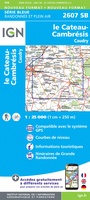 Wandelkaart - Topografische kaart 2607 SB - Serie Bleue Le Cateau-Cambrésis, Caudry | IGN - Institut Géographique National
 Wandelkaart - Topografische kaart 2608 SB - Serie Bleue Bohain-en-Vermandois, Guise | IGN - Institut Géographique National
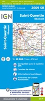 Wandelkaart - Topografische kaart 2609 SB - Serie Bleue Ribemont - Saint Quentin | IGN - Institut Géographique National
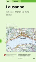 Wandelkaart - Topografische kaart 261 Lausanne | Swisstopo
 Wandelkaart - Topografische kaart 2610 SB - Serie Bleue Tergnier, Forêt de St-Gobain et Coucy Basse | IGN - Institut Géographique National
Laatste reviews

De bestelling snel en netjes afgehandeld
★★★★★ door Tiny Waltmans 03 april 2026 | Heeft dit artikel gekocht
Ik ben dol op de veldkaarten over verschillende vogelsoorten, per land of werelddelen. Deze keer de kaart besteld over vogelsoorten in Afrika en tijdens mijn …
★★★★★ door Kelly Bosch 02 april 2026 | Heeft dit artikel gekocht
Precies wat ik zocht. De informatie op de website was duidelijk en klopte. Het was eerst niet leverbaar, maar ik had aangegeven dat ik bericht …
★★★★★ door Mieke van den Broek 01 april 2026 | Heeft dit artikel gekocht
Snelle levering, prima verpakt, en de atlas van Duitsland is precies wat ik had verwacht, heel erg goed.
★★★★★ door Wil Van der Vlist 01 april 2026 | Heeft dit artikel gekocht