Topografische kaarten - Frankrijk
De kaarten van IGN (kort voor Institute Geographique National), wandelkaarten voor Frankrijk, zijn van een ongekend hoog niveau. Met name de wandelkaarten 1:25.000 vinden wij geweldig: werkelijk alles staat erop, de kaarten bevatten zeer veel details en het kleurgebruik is fantastisch, waardoor alles ook nog eens heel goed leesbaar. Je hoort het: wij zijn fan van deze kaarten!
 Wandelkaart - Topografische kaart 2323 SB - Serie Bleue St-Martin-d'Auxigny, Foëcy | IGN - Institut Géographique National
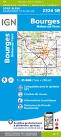 Wandelkaart - Topografische kaart 2324 SB - Serie Bleue Bourges, Mehun-sur-Yèvre | IGN - Institut Géographique National
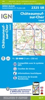 Wandelkaart - Topografische kaart 2325 SB - Serie Bleue Châteuneuf-sur-Cher, Levet | IGN - Institut Géographique National
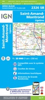 Topografische kaart - Wandelkaart 2326 SB - Serie Bleue Saint-Amand-Montrond | IGN - Institut Géographique National
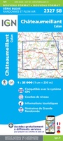 Wandelkaart - Topografische kaart 2327 SB - Serie Bleue Culan - Châteaumeillant | IGN - Institut Géographique National
 Wandelkaart - Topografische kaart 2328 SB - Serie Bleue Huriel - Boussac | IGN - Institut Géographique National
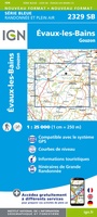 Wandelkaart - Topografische kaart 2329 SB - Serie Bleue Évaux-les-Bains | IGN - Institut Géographique National
 Wandelkaart - Topografische kaart 2330 SB - Serie Bleue Auzances - Aubusson | IGN - Institut Géographique National
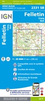 Wandelkaart - Topografische kaart 2331 SB - Serie Bleue Felletin | IGN - Institut Géographique National
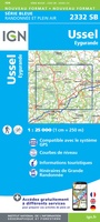 Wandelkaart - Topografische kaart 2332 SB - Serie Bleue Ussel | IGN - Institut Géographique National
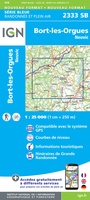 Wandelkaart - Topografische kaart 2333 SB - Serie Bleue Bort-les-Orgues | IGN - Institut Géographique National
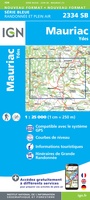 Wandelkaart - Topografische kaart 2334 SB - Serie Bleue Mauriac | IGN - Institut Géographique National
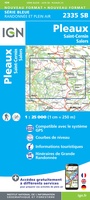 Wandelkaart - Topografische kaart 2335 SB - Serie Bleue St-Cernin, Salers, Pleaux | IGN - Institut Géographique National
 Wandelkaart - Topografische kaart 2336 SB - Serie Bleue Aurillac, Barrage de St-Etienne-Cantalès, Laroquebrou | IGN - Institut Géographique National
 Wandelkaart - Topografische kaart 2337 SB - Serie Bleue Maurs | IGN - Institut Géographique National
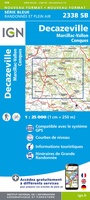 Wandelkaart - Topografische kaart 2338 SB - Serie Bleue Decazeville | IGN - Institut Géographique National
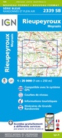 Wandelkaart - Topografische kaart 2339 SB - Serie Bleue Rieupeyroux - Moyrazes | IGN - Institut Géographique National
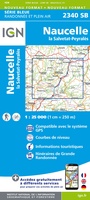 Wandelkaart - Topografische kaart 2340 SB - Serie Bleue Naucelle, La Salvetat, Peyrales | IGN - Institut Géographique National
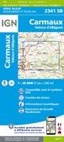 Wandelkaart - Topografische kaart 2341 SB - Serie Bleue Carmaux, Valence-d'Albigeoi | IGN - Institut Géographique National
 Wandelkaart - Topografische kaart 2342 SB - Serie Bleue Réalmont - Alban | IGN - Institut Géographique National
Laatste reviews

Op ansichtkaartformaat een prachtige reliëfkaart van Vogezen en Elzas: alleen al voor het vooraf genieten een aanrader
★★★★★ door R.P. Koster 08 april 2026 | Heeft dit artikel gekocht
De beste kaartenmaker van Frankrijk: Michelin. Weer met mooie toeritische tips van de Elzas: een aanrader
★★★★★ door R.P. Koster 08 april 2026 | Heeft dit artikel gekocht
Mooie wandelgids (ook om cadeau te geven) als je van wandelen op de Veluwe houdt. Duidelijk, goed gedocumenteerd, zo te gebruiken
★★★★★ door R.P. Koster 08 april 2026 | Heeft dit artikel gekocht
Mooie overzichtelijke, zoveel mogelijk geüpdatete kaart van Curaçao. Wel groot. Goede kwaliteit.
★★★★★ door Maud van de Straat 08 april 2026 | Heeft dit artikel gekocht