Winkelwagen
Geen items in winkelwagen
Ga naar winkelwagen
Bretagne
 Wandelkaart - Topografische kaart 0714OT Perros-Guirec, Lannion, Trégastel-Plage, Trébeurden, Côte de Granit Rose | IGN - Institut Géographique National★★★★★
 Wandelkaart - Topografische kaart 0720ET Lorient - Ile de Groix | IGN - Institut Géographique National
 Topografische kaart - Wandelkaart 0814OT Paimpol | IGN - Institut Géographique National★★★★★★★★★★
 Wandelkaart - Topografische kaart 0820 SB - Serie Bleue Baud - Languidic | IGN - Institut Géographique National
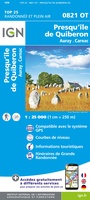 Wandelkaart - Topografische kaart 0821OT Presqu'Ile de Quiberon - Auray - Carnac Bretagne | IGN - Institut Géographique National
 Wandelkaart - Topografische kaart 0822OT Belle-Ile - Ile d'Houat et d'Hoëdic Bretagne | IGN - Institut Géographique National★★★★★
 Wandelkaart - Topografische kaart 0916ET Erquy - le Val-André | IGN - Institut Géographique National
 Wandelkaart - Topografische kaart 0916OT Saint-Brieuc | IGN - Institut Géographique National★★★★★
 Wandelkaart - Topografische kaart 0921OT Vannes | IGN - Institut Géographique National★★★★★
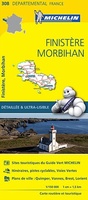 Wegenkaart - landkaart 308 Finistere - Morbihan (Bretagne) | Michelin★★★★★
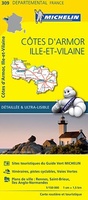 Wegenkaart - landkaart 309 Cotes d'Armor - Ille et Vilaine (Bretagne, Normandie) | Michelin★★★★★
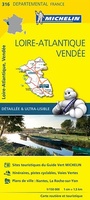 Wegenkaart - landkaart 316 Loire Atlantique - Vendee | Michelin★★★★★
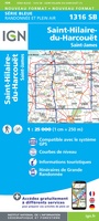 Wandelkaart - Topografische kaart 1316 SB - Serie Bleue St-Hilaire-du-Harcouët | IGN - Institut Géographique National
 Wandelkaart 1317 SB - Serie Bleue Fougères – St-Brice-en-Coglès | IGN - Institut Géographique National
 Wandelkaart - Topografische kaart 1318 SB - Serie Bleue Vitré - Châteaubourg | IGN - Institut Géographique National
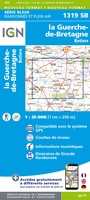 Wandelkaart - Topografische kaart 1319 SB - Serie Bleue La Guerche-de-Bretagne – Retiers | IGN - Institut Géographique National
 Wandelkaart - Topografische kaart 1320 SB - Serie Bleue Châteaubriant - Pouancé | IGN - Institut Géographique National
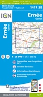 Wandelkaart - Topografische kaart 1417 SB - Serie Bleue Ernée - Gorron | IGN - Institut Géographique National
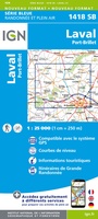 Wandelkaart - Topografische kaart 1418 SB - Serie Bleue Laval - Port-Brillet | IGN - Institut Géographique National★★★★★
 Wandelkaart - Topografische kaart 1419 SB - Serie Bleue Cossé-le-Vivien - L'Huisserie | IGN - Institut Géographique National
- 1
- 2
- 3
- Volgende >>
- 10
Laatste reviews

Simpele keuze ondersteuning op website en hele snelle levering
Kort voor vakantie naar de Galapagos eilanden toch nog behoefte aan extra reisgids. Simpel kunnen bestellen en snelle levering. Zou niet weten wat er beter …
★★★★★ door Piet Grootenboer 25 juni 2026 | Heeft dit artikel gekocht
Te gek
Enorm mooie wereldkaart met details en snelle fijne levering.
★★★★★ door Steven Goyvaerts 25 juni 2026 | Heeft dit artikel gekocht
Goede gids voor pelgrims
Deze Cicerone gids over de via Francigena is uitermate geschikt om je route en etappes te plannen als je de Via Francigena vanuit Zwitserland gaat …
★★★★★ door Vic 24 juni 2026 | Heeft dit artikel gekocht
Aantrekkelijk en boordevol nuttige info
Heerlijk om al te kunnen voorbereiden op een fantastische vakantie met dit uiterst fijne boek.
★★★★★ door Harry 24 juni 2026 | Heeft dit artikel gekocht