Winkelwagen
Geen items in winkelwagen
Ga naar winkelwagen
Bourgondië
 Wandelkaart - Topografische kaart 3027 SB - Serie Bleue Tournus - Lugny | IGN - Institut Géographique National
 Wandelkaart - Topografische kaart 3028OT Mâcon - Cluny | IGN - Institut Géographique National
 Wandelkaart - Topografische kaart 3029 SB - Serie Bleue Châtillon-sur-Chalaronne – Belleville | IGN - Institut Géographique National
 Topografische kaart - Wandelkaart 3121 SB - Serie Bleue Is-sur-Tille | IGN - Institut Géographique National
 Wandelkaart - Topografische kaart 3122 SB - Serie Bleue Mirebeau-sur-Bèze | IGN - Institut Géographique National
 Wandelkaart - Topografische kaart 3123 SB - Serie Bleue Dijon | IGN - Institut Géographique National
 Wandelkaart - Topografische kaart 3124 SB - Serie Bleue Seurre | IGN - Institut Géographique National
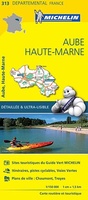 Wegenkaart - landkaart 313 Aube - Haute Marne | Michelin★★★★★
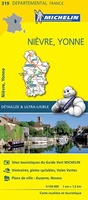 Wegenkaart - landkaart 319 Bourgondie: Nievre - Yonne | Michelin★★★★★
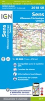 Wandelkaart - Topografische kaart 2618 SB - Serie Bleue Sens | IGN - Institut Géographique National
 Wandelkaart - Topografische kaart 2619 SB - Serie Bleue Joigny | IGN - Institut Géographique National
 Wandelkaart - Topografische kaart 2620 SB - Serie Bleue Auxerre - Toucy | IGN - Institut Géographique National
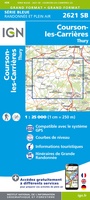 Topografische kaart - Wandelkaart 2621 SB - Serie Bleue Courson-les-Carrières, Thury | IGN - Institut Géographique National
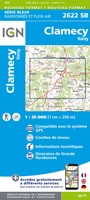 Wandelkaart - Topografische kaart 2622 SB - Serie Bleue Clamecy - Varzy | IGN - Institut Géographique National
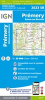 Topografische kaart - Wandelkaart 2623 SB - Serie Bleue Prémery | IGN - Institut Géographique National
 Wandelkaart - Topografische kaart 2624 SB - Serie Bleue St-Benin-D'Azy – St-Saulge | IGN - Institut Géographique National
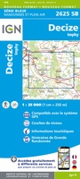 Wandelkaart - Topografische kaart 2625 SB - Serie Bleue Decize - Imphy | IGN - Institut Géographique National
 Wandelkaart - Topografische kaart 2626 SB - Serie Bleue Dornes | IGN - Institut Géographique National
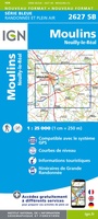 Wandelkaart - Topografische kaart 2627 SB - Serie Bleue Moulins | IGN - Institut Géographique National
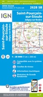 Wandelkaart - Topografische kaart 2628 SB - Serie Bleue St-Pourçain-sur-Sioule | IGN - Institut Géographique National
Laatste reviews

Duidelijk, overzichtelijk en geplastificeerde wandelkaart
Uitstekend
★★★★★ door Nelly van Ginkel 24 juli 2026 | Heeft dit artikel gekocht
Handige kaart
Fijne kaart waterafstootend.
★★★★★ door Nicole 21 juli 2026 | Heeft dit artikel gekocht
Mooie kaart.
Mooie helder kaart, netjes bezorgd
★★★★★ door Michael Rijke 21 juli 2026 | Heeft dit artikel gekocht
Mooie wandelkaart, lekker stevig ook!
Fijne wandelkaart, gedetailleerd en met veel extra info. Super fijn om m voor onze vakantie al te kunnen kopen, zo kon de voorpret al beginnen …
★★★★★ door Wille Groenewolt 21 juli 2026 | Heeft dit artikel gekocht