Winkelwagen
Geen items in winkelwagen
Ga naar winkelwagen
Topografische kaarten - Europa
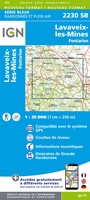 Wandelkaart - Topografische kaart 2230 SB - Serie Bleue Lavaveix-les-Mines, Pontarion | IGN - Institut Géographique National
 Wandelkaart - Topografische kaart 2231 SB - Serie Bleue Gentioux-Pigerolles, Royère-de-Vassivière | IGN - Institut Géographique National
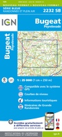 Wandelkaart - Topografische kaart 2232 SB - Serie Bleue Bugeat - Peyrelevade | IGN - Institut Géographique National
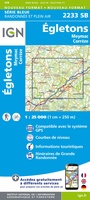 Wandelkaart - Topografische kaart 2233 SB - Serie Bleue Egletons - Meymac - Corrèze | IGN - Institut Géographique National
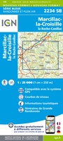 Wandelkaart - Topografische kaart 2234 SB - Serie Bleue Marcillac-la-Croisille, La Roche-Canillac | IGN - Institut Géographique National
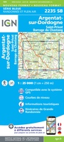 Wandelkaart - Topografische kaart 2235 SB - Serie Bleue Argentat-sur-Dordogne | IGN - Institut Géographique National★★★★★
 Wandelkaart - Topografische kaart 2236 SB - Serie Bleue Saint-Céré, Sousceyrac-en-Quercy | IGN - Institut Géographique National★★★★★
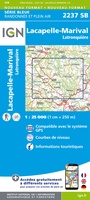 Wandelkaart - Topografische kaart 2237 SB - Serie Bleue Latronquière, Lacapelle-Marival | IGN - Institut Géographique National
 Wandelkaart - Topografische kaart 2238 SB - Serie Bleue Figeac | IGN - Institut Géographique National★★★★★
 Wandelkaart - Topografische kaart 2239 SB - Serie Bleue Villefranche-de-Rouergue, Martiel | IGN - Institut Géographique National
 Wandelkaart - Topografische kaart 224 OS Explorer Map Corby, Kettering, Wellingborough | Ordnance Survey
 Topografische kaart 224 MT50 Ponteareas | CNIG - Instituto Geográfico Nacional1
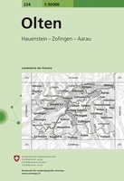 Wandelkaart - Topografische kaart 224 Olten | Swisstopo
 Wandelkaart - Topografische kaart 2240 SB - Serie Bleue Varen, Laguépie, Najac | IGN - Institut Géographique National
 Wandelkaart - Topografische kaart 2241 SB - Serie Bleue Albi, Cordes-sur-Ciel | IGN - Institut Géographique National★★★★★
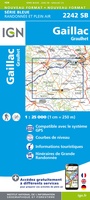 Wandelkaart - Topografische kaart 2242 SB - Serie Bleue Gaillac, Graulhet | IGN - Institut Géographique National
 Wandelkaart - Topografische kaart 2243 SB - Serie Bleue Puylaurens, Lautrec | IGN - Institut Géographique National
 Wandelkaart - Topografische kaart 2244 SB - Serie Bleue Revel, St-Félix-Lauragais, Sorèze | IGN - Institut Géographique National
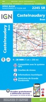 Wandelkaart - Topografische kaart 2245 SB - Serie Bleue Bram - Castelnaudary | IGN - Institut Géographique National
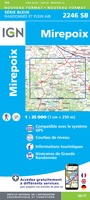 Wandelkaart - Topografische kaart 2246 SB - Serie Bleue Mirepoix | IGN - Institut Géographique National
Laatste reviews

Goede kaart, maar weinig meerwaarde boven de 1:200.000-kaart
Op zich een goede kaart, maar het is eigenlijk gewoon een uitvergroting van de bekende 1:200.000-kaarten, dus weinig tot geen extra informatie. Wel wat duidelijker …
★★★★★ door FGM Ballhaus 13 mei 2026 | Heeft dit artikel gekocht
Iets te grote schaal voor wandelen, maar verder een goede kaart voor wandelen en fietsen
Duidelijke kaart, goed voor fietsen, iets minder voor wandelen door de schaal, maar er is heel weinig kaartmateriaal voor dit gebied dus daarom toch dik …
★★★★★ door FGM Ballhaus 13 mei 2026 | Heeft dit artikel gekocht
Goede fietskaart voor nét over de grens
Fietskaart is een goede aanvulling op de Nederlandse fietskaarten, laat de Achterhoek zien maar ook een heel stuk Duitsland in (naar het oosten). Kwalitatief ook …
★★★★★ door FGM Ballhaus 13 mei 2026 | Heeft dit artikel gekocht
Leuk informatief boek, precieze route goed weergegeven.
Keurig verpakt, snel verzonden. Boek voldoet aan mijn verwachtingen!
★★★★★ door Beatrice 12 mei 2026 | Heeft dit artikel gekocht