Winkelwagen
Geen items in winkelwagen
Ga naar winkelwagen
Wandelgidsen - Lowlands | Schotse Laaglanden en grenzen
 Wandelgids 088 Pathfinder Guides Scottish Borders | Ordnance Survey
 Wandelgids 1 Walking the Corbetts: Volume 1 | Cicerone
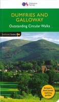 Wandelgids 019 Pathfinder Guides Dumfries & Galloway | Ordnance Survey
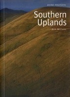 Wandelgids Southern Uplands | Pocket Mountains
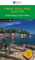 Wandelgids 031 Pathfinder Guides Oban, Mull & Kintyre | Ordnance Survey
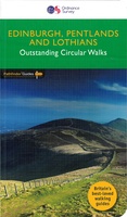 Wandelgids 047 Pathfinder Guides Edinburgh, Pentlands & the Lothians | Ordnance Survey
 Wandelgids Walking on Arran | Cicerone
 Wandelgids Fife | Hallewell Publications
 Wandelgids Annandale Way | Rucksack Readers
 Wandelgids Peebles, Selkirk & Lanark | Hallewell Publications
 Wandelgids Galloway | Pocket Mountains
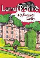 Wandelgids Weekend Walks Lanarkshire | Pocket Mountains
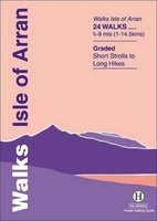 Wandelgids Isle of Arran | Hallewell Publications
 Wandelgids Scotland's Best Small Mountains | Cicerone
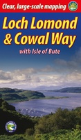 Wandelgids Loch Lomond & Cowal Way | Rucksack Readers
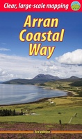 Wandelgids The Arran Coastal Way | Rucksack Readers★★★★★★★★★★
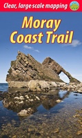 Wandelgids Moray Coast Trail | Rucksack Readers
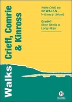 Wandelgids Crieff, Comrie & Kinross | Hallewell Publications
 Wandelgids East Lothian | Hallewell Publications
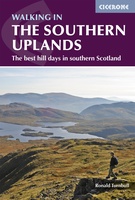 Wandelgids Walking in the Southern Uplands | Cicerone
Laatste reviews

Leuk informatief boek, precieze route goed weergegeven.
Keurig verpakt, snel verzonden. Boek voldoet aan mijn verwachtingen!
★★★★★ door Beatrice 12 mei 2026 | Heeft dit artikel gekocht
Top service en snelle verzending
Zoals altijd een goede ervaring en een perfecte snelle levering
★★★★★ door Perry Miog 12 mei 2026 | Heeft dit artikel gekocht
Mooie fietskaarten snelle verzending
Altijd weer fijn om te vinden wat ik zoek. Ruim aanbod van fietskaarten.
★★★★★ door Trudy 11 mei 2026 | Heeft dit artikel gekocht
Prachtige wandelingen, duidelijk beschreven
Handig formaat wandelgidsje met schitterende wandelingen in noord Portugal. De duidelijke beschrijvingen zijn handig zowel voor het plannen van de wandeling, bij het vinden van …
★★★★★ door Annemieke 11 mei 2026 | Heeft dit artikel gekocht