Winkelwagen
Geen items in winkelwagen
Ga naar winkelwagen
Lowlands | Schotse Laaglanden en grenzen
 Wandelkaart Ochil Hills | Harvey Maps
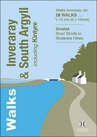 Wandelgids Inveraray & South Argyll : Including Kintyre | Hallewell Publications
 Wandelgids The Southern Upland Way | Cicerone
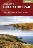 Wandelgids Walking The End to End Trail | Cicerone
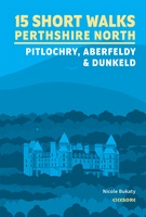 Wandelgids 15 Short Walks Perthshire North | Cicerone
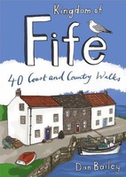 Wandelgids Weekend Walks Kingdom of Fife | Pocket Mountains
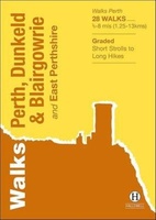 Wandelgids Perth, Dunkeld & Blairgowrie | Hallewell Publications
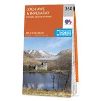 Wandelkaart - Topografische kaart 360 OS Explorer Map Loch Awe, Inveraray | Ordnance Survey
Laatste reviews

Leuk informatief boek, precieze route goed weergegeven.
Keurig verpakt, snel verzonden. Boek voldoet aan mijn verwachtingen!
★★★★★ door Beatrice 12 mei 2026 | Heeft dit artikel gekocht
Top service en snelle verzending
Zoals altijd een goede ervaring en een perfecte snelle levering
★★★★★ door Perry Miog 12 mei 2026 | Heeft dit artikel gekocht
Mooie fietskaarten snelle verzending
Altijd weer fijn om te vinden wat ik zoek. Ruim aanbod van fietskaarten.
★★★★★ door Trudy 11 mei 2026 | Heeft dit artikel gekocht
Prachtige wandelingen, duidelijk beschreven
Handig formaat wandelgidsje met schitterende wandelingen in noord Portugal. De duidelijke beschrijvingen zijn handig zowel voor het plannen van de wandeling, bij het vinden van …
★★★★★ door Annemieke 11 mei 2026 | Heeft dit artikel gekocht