Winkelwagen
Geen items in winkelwagen
Ga naar winkelwagen
Picardie - Noordwest Frankrijk
 Wandelkaart - Topografische kaart 2710 SB - Serie Bleue Sissonne - Laon | IGN - Institut Géographique National
 Wandelkaart - Topografische kaart 2806 SB - Serie Bleue Jeumont - Maubeuge | IGN - Institut Géographique National
 Wandelkaart - Topografische kaart 2808 SB - Serie Bleue Hirson - Fourmies | IGN - Institut Géographique National
 Wandelkaart - Topografische kaart 2210 SB - Serie Bleue Crèvecoeur-le-Grand, Grandvilliers | IGN - Institut Géographique National
 Wandelkaart - Topografische kaart 2211 SB - Serie Bleue Gournay-en-Bray , Lachapelle-aux-Pots | IGN - Institut Géographique National
 Wandelkaart - Topografische kaart 2212 SB - Serie Bleue Méru, Chaumont-en-Vexin | IGN - Institut Géographique National
 Topografische kaart - Wandelkaart 2302 SB - Serie Bleue Dunkerque - Gravelines | IGN - Institut Géographique National
 Wandelkaart - Topografische kaart 2303 SB - Serie Bleue Wormhout - Cassel - Watten | IGN - Institut Géographique National
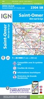 Wandelkaart - Topografische kaart 2304 SB - Serie Bleue Aire-Sur-La-Lys, St-Omer | IGN - Institut Géographique National
 Wandelkaart - Topografische kaart 2305 SB - Serie Bleue Lillers - Heuchin | IGN - Institut Géographique National
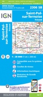 Wandelkaart - Topografische kaart 2306 SB - Serie Bleue Saint-Michel-Sur-Ternoise, Frévent | IGN - Institut Géographique National
 Wandelkaart - Topografische kaart 2307 SB - Serie Bleue Doullens - Beauval | IGN - Institut Géographique National★★★★★
 Wandelkaart - Topografische kaart 2308 SB - Serie Bleue Corbie - Amiens | IGN - Institut Géographique National
 Wandelkaart - Topografische kaart 2309 SB - Serie Bleue Moreuil - Saleux | IGN - Institut Géographique National
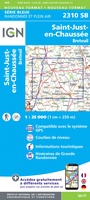 Wandelkaart - Topografische kaart 2310 SB - Serie Bleue Saint-Just-en-Chaussée , Breteuil | IGN - Institut Géographique National
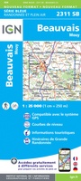 Wandelkaart - Topografische kaart 2311 SB - Serie Bleue Beauvais - Mouy | IGN - Institut Géographique National
 Wandelkaart - Topografische kaart 2312ET Clermont - Creil | IGN - Institut Géographique National
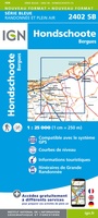 Wandelkaart - Topografische kaart 2402 SB - Serie Bleue Hondschoote - Bergues | IGN - Institut Géographique National
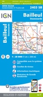 Wandelkaart - Topografische kaart 2403 SB - Serie Bleue Steenvoorde - Bailleul | IGN - Institut Géographique National
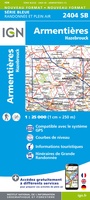 Wandelkaart - Topografische kaart 2404 SB - Serie Bleue Armentieres - Hazebrouck | IGN - Institut Géographique National
Laatste reviews

Compact gidsje
Ben nog niet het veld in geweest met de gids maar de eerste indruk is veel informatie om een meerdaagse tocht uit te stippelen.
★★★★★ door Henk 04 juli 2026 | Heeft dit artikel gekocht
Beschikbaarheid en snelheid
Prima in orde!
★★★★★ door Marko 04 juli 2026 | Heeft dit artikel gekocht
Lekker analoog
Fijn boekje met veel informatie, behalve knooppunten Utrecht af en toe incorrect. Wat heerlijk om offline te navigeren, lekker analoog. Zodra je het systeem begrijpt …
★★★★★ door Daan 03 juli 2026 | Heeft dit artikel gekocht
Aanrader
Als je van geschiedenis, Groningen en kaarteen houdt, is dit echt een aanrader!
★★★★★ door Reinout 03 juli 2026 | Heeft dit artikel gekocht