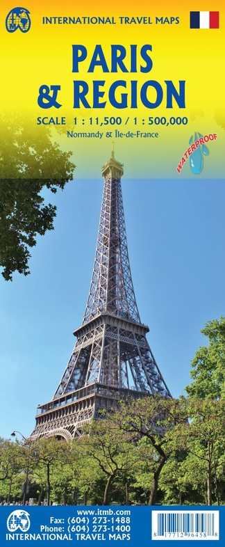
Wegenkaart - landkaart Parijs / Frankrijk Noord | ITMB (9781771296458)
- ISBN / CODE: 9781771296458
- Editie: 01-04-2026
- Druk: 3
- Aantal blz.: 1
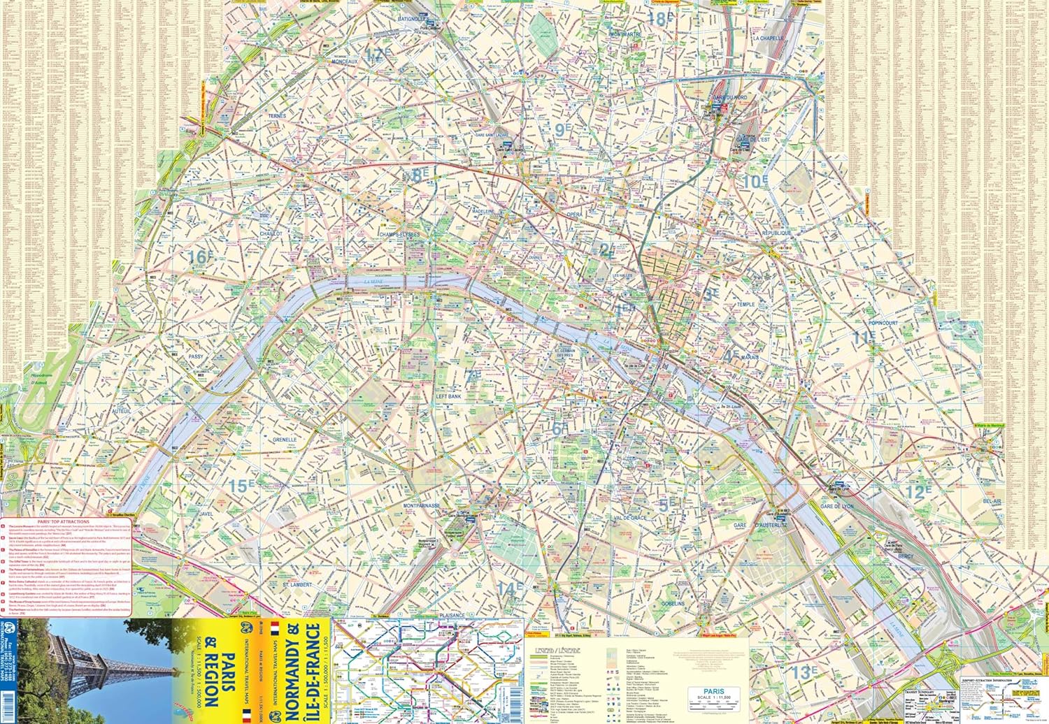
- Schaal: 1:11000
- Uitgever: ITMB
- Soort: Wegenkaart
- Taal: Engels
- Hoogte: 25.0 cm
- Breedte: 10.0 cm
- Gewicht: 83.0 g
- Bindwijze: -
- Uitvoering: Scheur- en watervast
- Schrijf als eerste een review
-
€ 13,95
Leverbaar in 3 - 5 werkdagen in huis in Nederland Levertijd Belgie
Gratis verzending in Nederland vanaf €50,-
Beschrijving
Van de uitgever
Stadsplan Parijs en regio's Normandië Ile-de-France
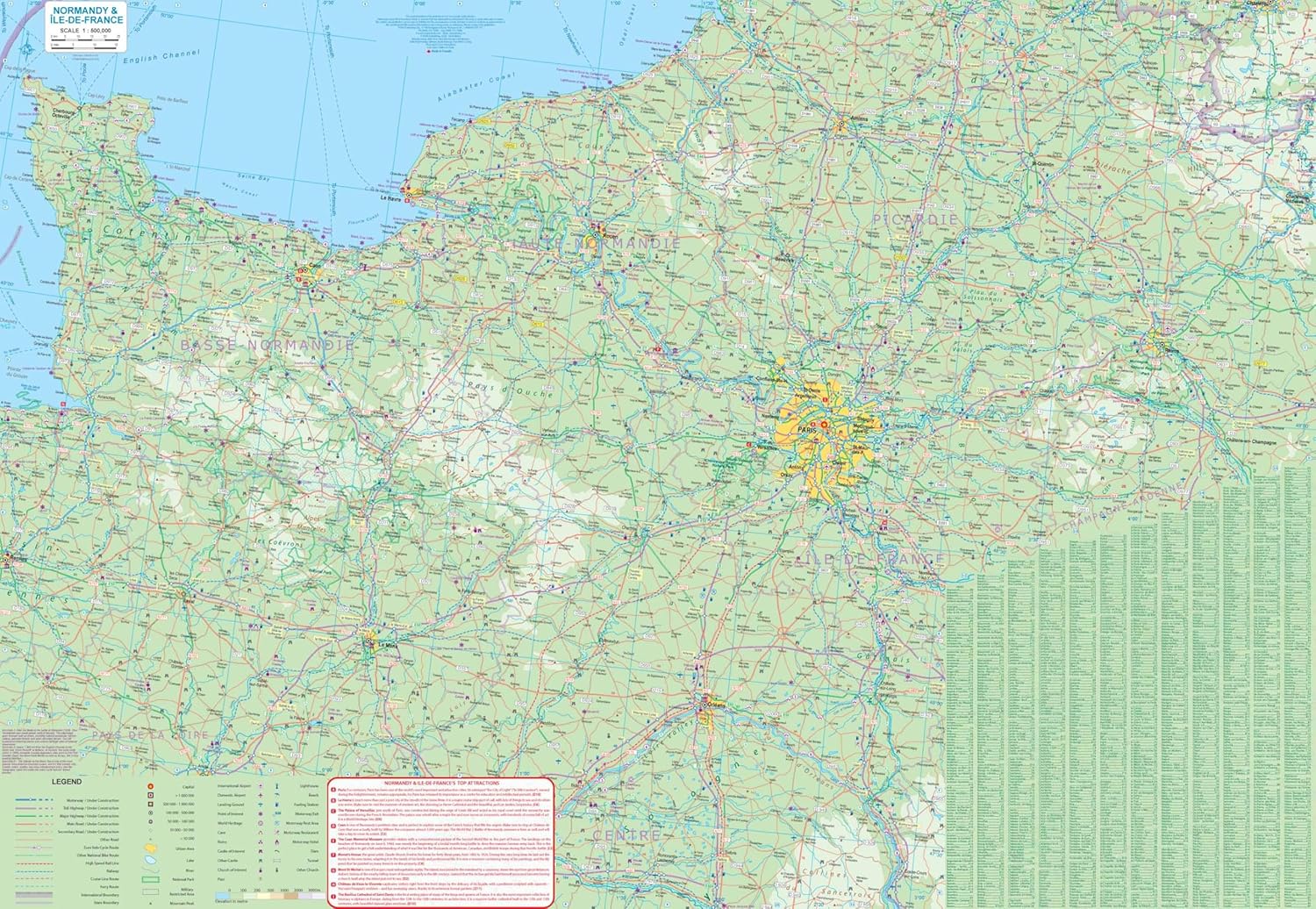
Side 1 is a detailed street map of the area within the former city walls and shows all the subway (Metro) lines and rail lines with stations. Naturally, touristic sites abound, and are noted accurately on the map. We show a selection of hotels, most museums and major public buildings. The new pedestrian enclave in the 3rd Arrondisement is shown. Side 2 is a new map of the region around Paris,, mostly Normandy and Picardy, so would be useful for those taking day trips to Rouen, Orleans, or Reims. This portion of France is loaded with castles, palaces, and grand chateaux, such as Blois, Chambord, and Fontainebleau, ancient cathedral cities, such as Chartres and Senlis, and historic cities to tempt the traveler to explore. The back cover shows the central Paris Metro network in excellent detail.
Reviews
Geen reviews gevonden voor dit product.
Schrijf een review
Graag horen wij wat u van dit artikel vindt. Vindt u het goed, leuk, mooi, slecht, lelijk, onbruikbaar of erg handig: schrijf gerust alles op! Het is niet alleen leuk om te doen maar u informeert andere klanten er ook nog mee!
Ook interessant voor europa/frankrijk/parijs
-

Wandelgids 1200 Le Pays d'Entraygues
€ 14,95Wandelgidsen Pyreneeën -

Woordenboek Fast Talk French | Lonel
€ 6,95Woordenboeken & Taalgidsen Frankrijk -

Natuurgids Veldgids Europese Zoogdie
€ 42,95Natuurgidsen Albanië -

Wegenkaart - landkaart 3313 Adventur
€ 18,50Wegenkaarten Frankrijk -

Wandelkaart Hike and Rail Alpen Pyre
€ 25,95Wandelkaarten Duitse Alpen gebied