Winkelwagen
Geen items in winkelwagen
Ga naar winkelwagen
Kaarten - Midi-Pyrénées
 Wandelkaart - Topografische kaart 2141 SB - Serie Bleue Nègrepelisse | IGN - Institut Géographique National★★★★★
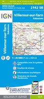 Wandelkaart - Topografische kaart 2142 SB - Serie Bleue Villemur-sur-Tarn | IGN - Institut Géographique National
 Wandelkaart - Topografische kaart 2143 SB - Serie Bleue Montastruc-la-Conseillère, Lavaur | IGN - Institut Géographique National
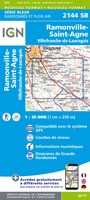 Wandelkaart - Topografische kaart 2144 SB - Serie Bleue Ramonville-Saint-Agne | IGN - Institut Géographique National
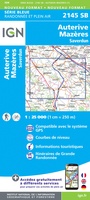 Wandelkaart - Topografische kaart 2145 SB - Serie Bleue Auterive - Mazères - Saverdun | IGN - Institut Géographique National
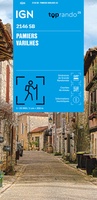 Wandelkaart 2146 SB - Serie Bleue Pamiers / Varilhes | IGN - Institut Géographique National
 Wandelkaart 2148ET Ax-les-Thermes, Ussat, Les Cabannes, Ax-Bonascre | IGN - Institut Géographique National
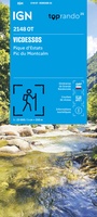 Wandelkaart 2148OT Vicdessos / Pique d'Estats / Pic du Montcalm | IGN - Institut Géographique National★★★★★
 Wegenkaart - landkaart 00 Pyreneeën | Rando Editions
 Topografische kaart 146 MT50 Monte Perdido | CNIG - Instituto Geográfico Nacional1
 Wegenkaart - landkaart 12 TOP 250 Occitanie - Pyrénées - Quercy | IGN - Institut Géographique National
 Wegenkaart - landkaart 13 TOP 250 Occitanie - Cévennes - Languedoc - Roussillon | IGN - Institut Géographique National
 Topografische kaart 149 MT50 Salardú | CNIG - Instituto Geográfico Nacional1
 Wandelkaart - Topografische kaart 1641 SB - Serie Bleue Roquefort | IGN - Institut Géographique National
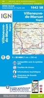 Wandelkaart - Topografische kaart 1642 SB - Serie Bleue Villeneuve-de-Marsan | IGN - Institut Géographique National
 Wandelkaart - Topografische kaart 1643 SB - Serie Bleue Aire-sur-l'Adour | IGN - Institut Géographique National
 Topografische kaart - Wandelkaart 1645 Pontacq - Ossun - Ger | IGN - Institut Géographique National
 Wandelkaart - Topografische kaart 1647ET Lourdes, Argeles-Gazost, Le Lavedan, Pierrefitte-Nestalas, Aucun | IGN - Institut Géographique National★★★★★
 Wandelkaart - Topografische kaart 1647OT Vignemale, Ossau, Cauterets, Gourette | IGN - Institut Géographique National★★★★★
 Topografische kaart - Wandelkaart 1742 SB - Serie Bleue Eauze | IGN - Institut Géographique National★★★★★
Laatste reviews

Goede kaart, maar weinig meerwaarde boven de 1:200.000-kaart
Op zich een goede kaart, maar het is eigenlijk gewoon een uitvergroting van de bekende 1:200.000-kaarten, dus weinig tot geen extra informatie. Wel wat duidelijker …
★★★★★ door FGM Ballhaus 13 mei 2026 | Heeft dit artikel gekocht
Iets te grote schaal voor wandelen, maar verder een goede kaart voor wandelen en fietsen
Duidelijke kaart, goed voor fietsen, iets minder voor wandelen door de schaal, maar er is heel weinig kaartmateriaal voor dit gebied dus daarom toch dik …
★★★★★ door FGM Ballhaus 13 mei 2026 | Heeft dit artikel gekocht
Goede fietskaart voor nét over de grens
Fietskaart is een goede aanvulling op de Nederlandse fietskaarten, laat de Achterhoek zien maar ook een heel stuk Duitsland in (naar het oosten). Kwalitatief ook …
★★★★★ door FGM Ballhaus 13 mei 2026 | Heeft dit artikel gekocht
Leuk informatief boek, precieze route goed weergegeven.
Keurig verpakt, snel verzonden. Boek voldoet aan mijn verwachtingen!
★★★★★ door Beatrice 12 mei 2026 | Heeft dit artikel gekocht