Mandje Tel: +31503126950 Menu
Winkelwagen
Geen items in winkelwagen
Ga naar winkelwagen

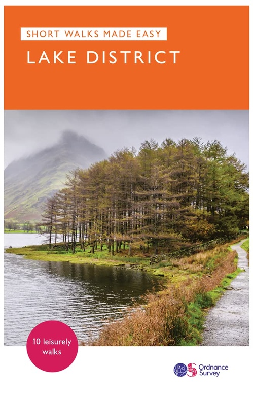
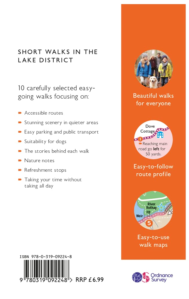
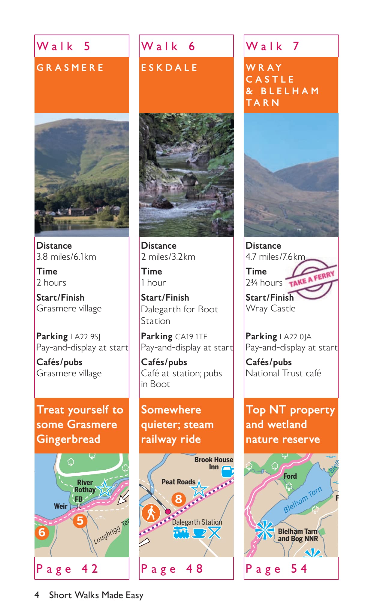
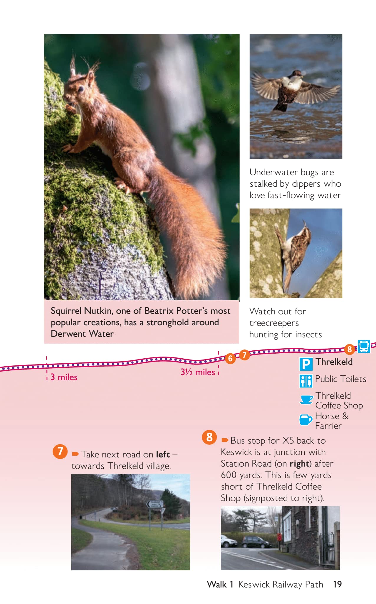
Wandelgids Lake District National Park | Ordnance Survey (9780319092248)

  • ISBN / CODE: 9780319092248
  • Editie: 2021
  • Aantal blz.: 80
  • Uitgever: Ordnance Survey
  • Soort: Wandelgids
  • Serie: Short Walks Made Easy
  • Taal: Engels
  • Hoogte: 17.8 cm
  • Breedte: 11.2 cm
  • Dikte: 0.8 cm
  • Bindwijze: Paperback
  • Uitvoering: -
  • Schrijf als eerste een review
  • 10,95

    Leverbaar in 3 - 5 werkdagen in huis in Belgie Levertijd Nederland Leverbaar in 3 - 5 werkdagen in huis in Nederland Levertijd Belgie

    Gratis verzending in Nederland vanaf €35,-

Beschrijving

Explore the spectacular scenery of the Lake District without scaling the high fells on these accessible walks that everybody can enjoy, covering the whole of the National Park. Wander the tranquil shores of Lakeland and drink in dazzling views on a day out for the whole family.
 
Lake District Short Walks Made Easy include:
 
- Make a leisurely circuit of beautiful Buttermere and the woodlands and meadows surrounding it, with a backdrop of rugged high fells
- Follow a stretch of the Ullswater Way beside one of Lakeland’s most spectacular bodies of water (with optional detour to stunning Aira Force waterfall) – and catch one of the iconic ‘Steamers’ back
- Walk in William Wordsworth’s footsteps from Grasmere village through oak woodlands and around the shores of Grasmere, visiting the poet’s grave en route
- Start at imposing Wray Castle, glimpse Belham Tarn and enjoy stunning views of Windermere, England’s largest natural lake
- Stroll along a stretch of the England Coast Path to the pretty seaside village of Ravenglass
- Ramble along the Keswick Railway Path through wooded gorges and tranquil lanes offering views of wild Blencathra
 
OS Pathfinder Guides: Short Walks Made Easy:
 
- 10 accessible walks suitable for the whole family
- All routes are between 2 to 5 miles and can be completed all year round
- Know what to expect before you go: Information on locations of cafes/pubs and toilets, terrain, hilliness and accessibility for pushchairs and wheelchairs
- Large-scale Ordnance Survey maps for ultra-easy navigation and route-finding, featuring intuitive pictorial symbols
- Numbered points which tie maps to route descriptions and walk profiles
- Route photographs for each numbered point so you know exactly where you’re going
- Discover GPS waypoints, parking information and detailed route descriptions for foolproof navigation
- Enhance your adventure with stories behind each walk and nature notes
- Get active outside and enjoy the physical and mental health benefits

Reviews

Geen reviews gevonden voor dit product.

Schrijf een review

Graag horen wij wat u van dit artikel vindt. Vindt u het goed, leuk, mooi, slecht, lelijk, onbruikbaar of erg handig: schrijf gerust alles op! Het is niet alleen leuk om te doen maar u informeert andere klanten er ook nog mee!