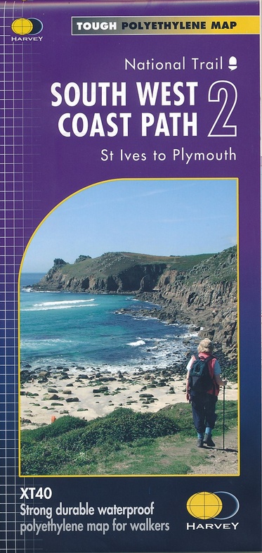
Wandelkaart 2 South West Coast Path 2 | Harvey Maps (9781851375554)
St Ives - Plymouth
- ISBN / CODE: 9781851375554
- Editie: 27-05-2021
- Schaal: 1:40000
- Uitgever: Harvey Maps
- Soort: Wandelkaart
- Serie: National Trail Maps
- Taal: Engels
- Hoogte: 24.5 cm
- Breedte: 11.5 cm
- Gewicht: 27.0 g
- Uitvoering: Scheur- en watervast
- Bindwijze: -
- Beoordeling: 5,0 ★★★★★ (1 review) Schrijf een review
-
€ 25,95
Levertijd 2 - 4 werkdagen in huis in Nederland Levertijd Belgie
Gratis verzending in Nederland vanaf €35,-
-
Overzicht National Trail Maps Harvey Maps
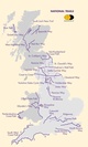
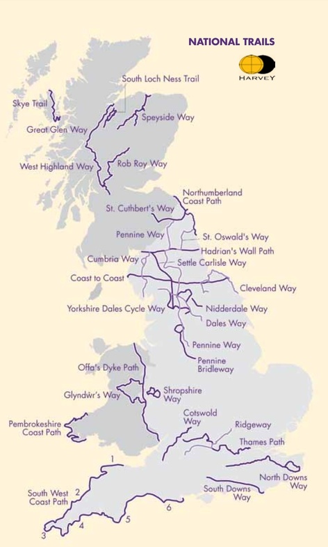
Producten op deze overzichtskaart:
Klik op een product om naar de pagina van dat product te gaan.
- Wandelkaart 1 South West Coast Path 1 | Harvey Maps
- Wandelkaart 2 South West Coast Path 2 | Harvey Maps
- Wandelkaart 3 South West Coast Path 3 | Harvey Maps
- Wandelkaart Affric Kintail Way | Harvey Maps
- Wandelkaart Anglesey Coastal Path | Harvey Maps
- Wandelkaart Cape Wrath Trail North | Harvey Maps
- Wandelkaart Cape Wrath Trail South | Harvey Maps
- Wandelkaart Cleveland Way | Harvey Maps
- Wandelkaart Coast to Coast | Harvey Maps
- Wandelkaart Cotswold Way | Harvey Maps
- Wandelkaart Cumbria Way | Harvey Maps
- Wandelkaart Dales Way | Harvey Maps
- Wandelkaart East Highland Way | Harvey Maps
- Wandelkaart Glyndwr's Way | Harvey Maps
- Wandelkaart Great Glen Way | Harvey Maps
- Wandelkaart Hadrian's Wall | Harvey Maps
- Wandelkaart John O'Groats trail | Harvey Maps
- Wandelkaart North Downs Way | Harvey Maps
- Wandelkaart Northumberland Coast Path and Berwickshire Coastal Path | Harvey Maps
- Wandelkaart Offa's Dyke Path | Harvey Maps
- Wandelkaart Peddars Way & Norfolk Coast Path | Harvey Maps
- Wandelkaart Pennine Bridleway | Harvey Maps
- Wandelkaart Pennine Way North | Harvey Maps
- Wandelkaart Pennine Way South | Harvey Maps
- Wandelkaart - Fietskaart Ridgeway | Harvey Maps
- Wandelkaart Rob Roy Way | Harvey Maps
- Wandelkaart Settle to Carlisle Way | Harvey Maps
- Wandelkaart Shropshire Way | Harvey Maps
- Wandelkaart Skye Trail | Harvey Maps
- Wandelkaart - Fietskaart South Downs Way | Harvey Maps
- Wandelkaart South Loch Ness Trail | Harvey Maps
- Wandelkaart Southern Upland Way | Harvey Maps
- Wandelkaart Speyside Walk (Schotland) | Harvey Maps
- Wandelkaart St Cuthbert's Way | Harvey Maps
- Wandelkaart St Oswald's Way | Harvey Maps
- Wandelkaart Thames Path | Harvey Maps
- Wandelkaart The Great Trossachs Path | Harvey Maps
- Wandelkaart Two Moors Way | Harvey Maps
- Wandelkaart West Highland Way | Harvey Maps
Overzichtskaarten
Beschrijving
Reviews
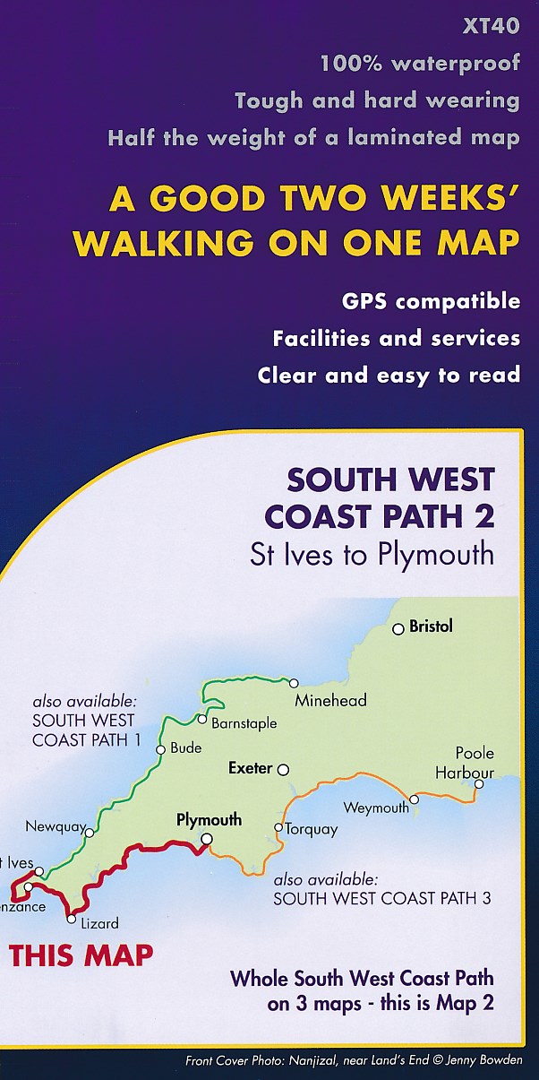
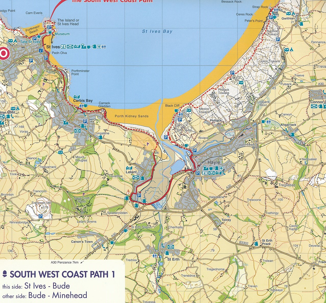
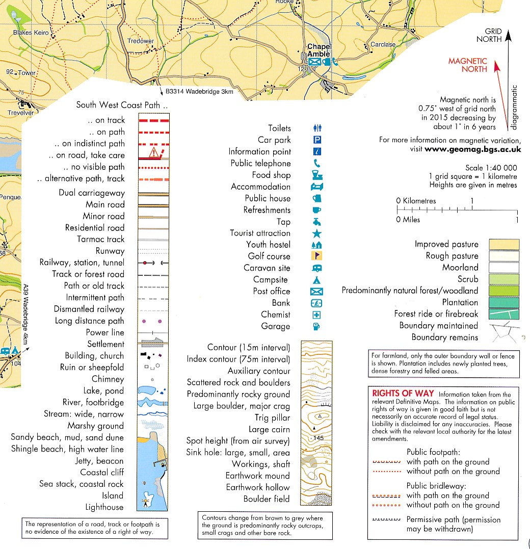
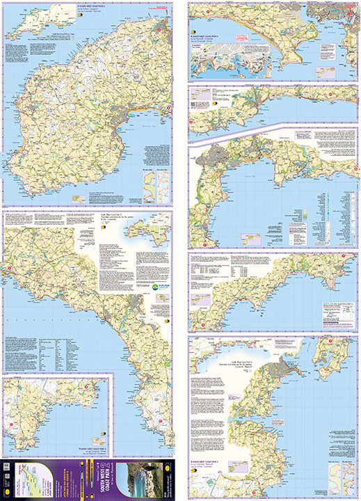
Deze kaart toont het tweede deel van het South West Coast Path met een schaal van 1:40000. De kaart bestaat uit 13 stukken die de kuststrook en enige kilometers landinwaarts tonen met het kustpad ingetekend. De kaart is gedrukt op watervast papier. Op de kaart staat veel toeristische informatie zoals campings, winkels toiletten en watertappunten, verder hoogtelijnen met een 15 m interval en ook diverse achtergrond informatie.
★★★★★ door Cynthia 15 februari 2023 | Heeft dit artikel gekochtVond u dit een nuttige review? (login om te beoordelen)
Schrijf een review
Graag horen wij wat u van dit artikel vindt. Vindt u het goed, leuk, mooi, slecht, lelijk, onbruikbaar of erg handig: schrijf gerust alles op! Het is niet alleen leuk om te doen maar u informeert andere klanten er ook nog mee!
Ook interessant voor europa/engeland/devon-cornwall
-

Wandelkaart - Topografische kaart 18
€ 19,50Topografische kaarten South West England -

Reisverhaal Het Zoutpad | Raynor Win
€ 15,00Reisverhalen ♦ Devon - Cornwall -

Wandelgids 10 The South West Coast P
€ 20,95Wandelgidsen ♦ Devon - Cornwall -

Wandelatlas 2 Adventure Atlas South
€ 12,95Wandelatlassen ♦ Devon - Cornwall -

Reisgids The South West Coast Path |
€ 27,95Reisgidsen ♦ Devon - Cornwall