Wandelatlas South West Coast Path Map Booklet - Vol 3 | Cicerone (9781786312006)
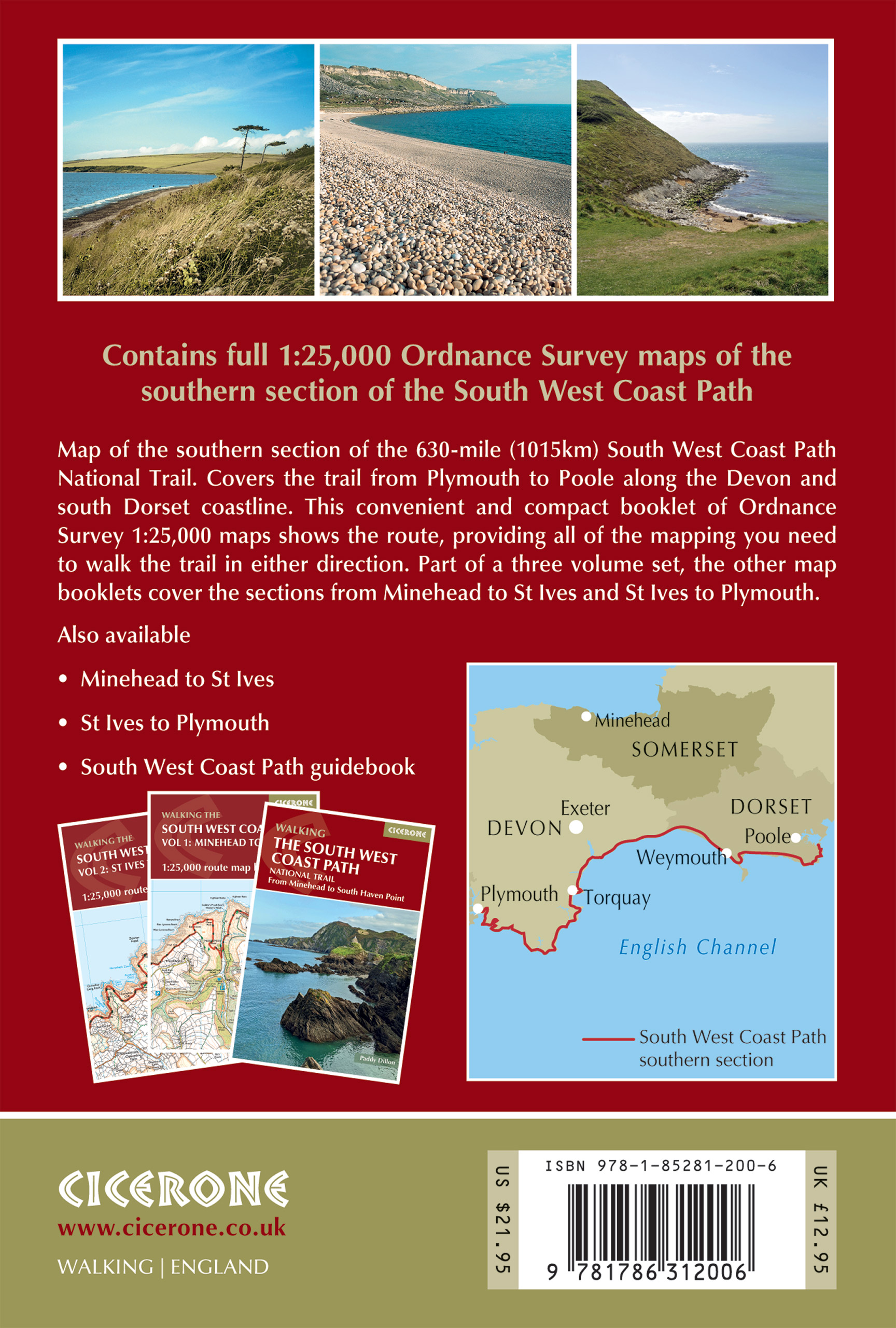
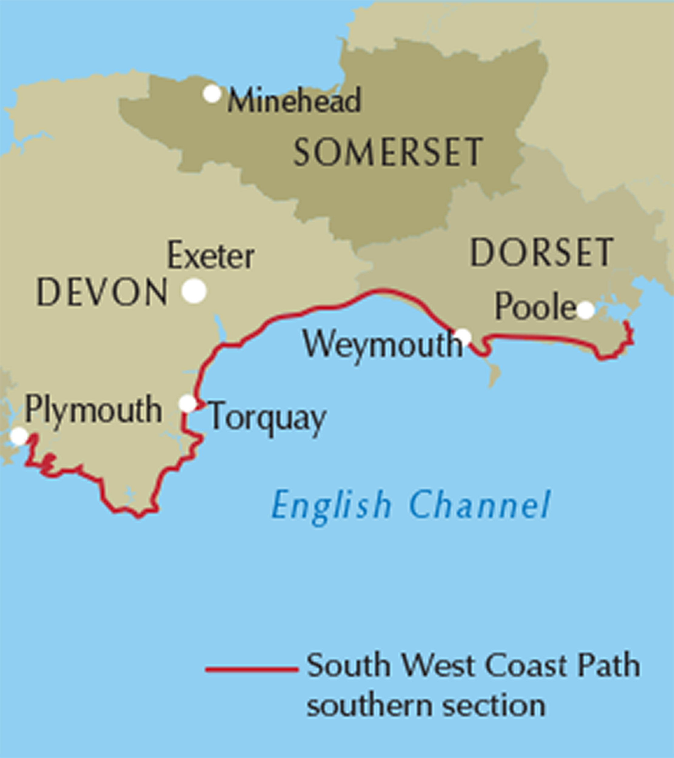
Plymouth to Poole

- ISBN / CODE: 9781786312006
- Editie: 12-09-2023
- Druk: 2
- Aantal blz.: 112
- Schaal: 1:25000
- Auteur(s): Paddy Dillon
- Uitgever: Cicerone
- Soort: Wandelatlas
- Taal: Engels
- Hoogte: 17.0 cm
- Breedte: 12.0 cm
- Dikte: 1.0 cm
- Gewicht: 142.0 g
- Bindwijze: Paperback
- Uitvoering: Papier
- Schrijf als eerste een review
-
€ 18,95
Leverbaar in 3 - 5 werkdagen in huis in Nederland Levertijd Belgie
Gratis verzending in Nederland vanaf €50,-
Beschrijving
Reviews
Geen reviews gevonden voor dit product.
Schrijf een review
Graag horen wij wat u van dit artikel vindt. Vindt u het goed, leuk, mooi, slecht, lelijk, onbruikbaar of erg handig: schrijf gerust alles op! Het is niet alleen leuk om te doen maar u informeert andere klanten er ook nog mee!
Ook interessant voor europa/engeland/devon-cornwall
-

Fietskaart 01 Cycle Maps UK Cornwall
€ 12,95Fietskaarten ♦ Devon - Cornwall -

Wandelgids 026 Pathfinder Guides Dar
€ 18,95Wandelgidsen ♦ Devon - Cornwall -

Wandelatlas 3 Adventure Atlas South
€ 17,95Wandelatlassen ♦ Devon - Cornwall -

Wegenkaart - landkaart 1 Road Map Br
€ 10,95Wegenkaarten South West England -

Wandelkaart - Topografische kaart 14
€ 26,95Topografische kaarten South West England