Winkelwagen
Geen items in winkelwagen
Ga naar winkelwagen
Topografische kaarten - Europa
 Wandelkaart - Topografische kaart 2733 SB - Serie Bleue St-Anthème, Arlanc | IGN - Institut Géographique National
 Wandelkaart - Topografische kaart 2734 SB - Serie Bleue Allègre, La Chaise-Dieu, Craponne-sur-Arzon | IGN - Institut Géographique National
 Wandelkaart - Topografische kaart 2735 SB - Serie Bleue Loudes, Le Puy-en-Velay | IGN - Institut Géographique National
 Wandelkaart - Topografische kaart 2736 SB - Serie Bleue Monistrol d'Allier, Solignac-sur-Loire, Cayres | IGN - Institut Géographique National
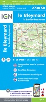 Wandelkaart - Topografische kaart 2738 SB - Serie Bleue Le Bleymard | IGN - Institut Géographique National
 Wandelkaart - Topografische kaart 274 OS Explorer Map Skegness, Alford & Spilsby | Ordnance Survey
 Wandelkaart - Topografische kaart 274 Visp | Swisstopo
 Wandelkaart - Topografische kaart 2740ET Corniche des Cevennes | IGN - Institut Géographique National
 Wandelkaart - Topografische kaart 2741ET Saint-Hippolyte-du-Fort | IGN - Institut Géographique National
 Wandelkaart - Topografische kaart 2742ET St.-Martin-de-Londres, Ganges | IGN - Institut Géographique National
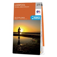 Wandelkaart - Topografische kaart 275 OS Explorer Map Liverpool St Helens, Widnes & Runcorn | Ordnance Survey
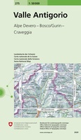 Wandelkaart - Topografische kaart 275 Valle Antigorio | Swisstopo★★★★★
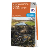 Wandelkaart - Topografische kaart 276 OS Explorer Map Bolton Central, Wigan & Warrington | Ordnance Survey
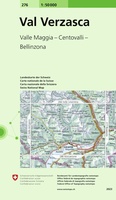 Wandelkaart - Topografische kaart 276 Val Verzasca | Swisstopo
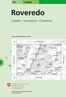 Wandelkaart - Topografische kaart 277 Roveredo | Swisstopo
 Topografische kaart 277 MT50 Covarrubias | CNIG - Instituto Geográfico Nacional1
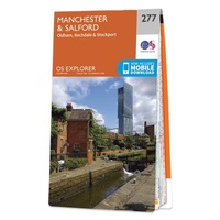 Wandelkaart - Topografische kaart 277 OS Explorer Map Manchester & Salford | Ordnance Survey
 Topografische kaart 277-I Campolara | CNIG - Instituto Geográfico Nacional1
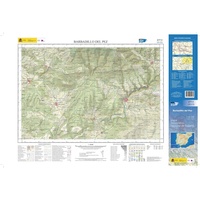 Topografische kaart 277-II Barbadillo del Pez | CNIG - Instituto Geográfico Nacional1
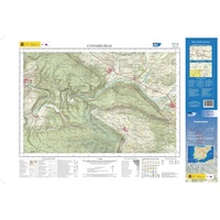 Topografische kaart 277-III Covarrubias | CNIG - Instituto Geográfico Nacional1
Laatste reviews

Goede kaart, maar weinig meerwaarde boven de 1:200.000-kaart
Op zich een goede kaart, maar het is eigenlijk gewoon een uitvergroting van de bekende 1:200.000-kaarten, dus weinig tot geen extra informatie. Wel wat duidelijker …
★★★★★ door FGM Ballhaus 13 mei 2026 | Heeft dit artikel gekocht
Iets te grote schaal voor wandelen, maar verder een goede kaart voor wandelen en fietsen
Duidelijke kaart, goed voor fietsen, iets minder voor wandelen door de schaal, maar er is heel weinig kaartmateriaal voor dit gebied dus daarom toch dik …
★★★★★ door FGM Ballhaus 13 mei 2026 | Heeft dit artikel gekocht
Goede fietskaart voor nét over de grens
Fietskaart is een goede aanvulling op de Nederlandse fietskaarten, laat de Achterhoek zien maar ook een heel stuk Duitsland in (naar het oosten). Kwalitatief ook …
★★★★★ door FGM Ballhaus 13 mei 2026 | Heeft dit artikel gekocht
Leuk informatief boek, precieze route goed weergegeven.
Keurig verpakt, snel verzonden. Boek voldoet aan mijn verwachtingen!
★★★★★ door Beatrice 12 mei 2026 | Heeft dit artikel gekocht