Winkelwagen
Geen items in winkelwagen
Ga naar winkelwagen
Topografische kaarten - Europa
 Topografische kaart 350-IV Almenar de Soria | CNIG - Instituto Geográfico Nacional1
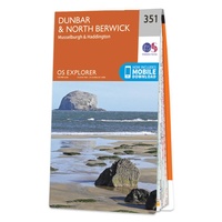 Wandelkaart - Topografische kaart 351 OS Explorer Map Dunbar, North Berwick | Ordnance Survey
 Wandelkaart - Topografische kaart 3512 SB - Serie Bleue Bouzonville | IGN - Institut Géographique National
 Wandelkaart - Topografische kaart 3513 SB - Serie Bleue Saint-Avold / Faulquemont | IGN - Institut Géographique National
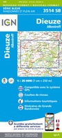 Wandelkaart - Topografische kaart 3514 SB - Serie Bleue Dieuze / Albestroff | IGN - Institut Géographique National
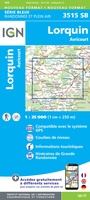 Wandelkaart - Topografische kaart 3515 SB - Serie Bleue Lorquin - Avricourt | IGN - Institut Géographique National
 Wandelkaart - Topografische kaart 3516 SB - Serie Bleue Lunéville / Baccarat | IGN - Institut Géographique National
 Wandelkaart - Topografische kaart 3517 SB - Serie Bleue Rambervillers | IGN - Institut Géographique National
 Wandelkaart - Topografische kaart 3518OT Epinal | IGN - Institut Géographique National
 Wandelkaart - Topografische kaart 3519OT Remiremont | IGN - Institut Géographique National★★★★★
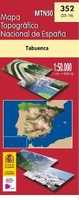 Topografische kaart 352 MT50 Tabuenca | CNIG - Instituto Geográfico Nacional
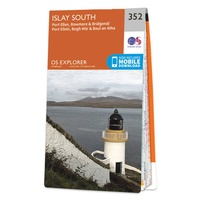 Wandelkaart - Topografische kaart 352 OS Explorer Map Islay South | Ordnance Survey
 Topografische kaart 352-IV Tabuenca | CNIG - Instituto Geográfico Nacional
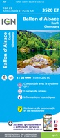 Wandelkaart - Topografische kaart 3520ET Ballon d'Alsace | IGN - Institut Géographique National★★★★★★★★★★
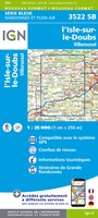 Wandelkaart - Topografische kaart 3522 SB - Serie Bleue L'Isle-sur-le-Doubs, Villersexel | IGN - Institut Géographique National
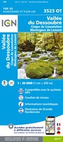 Wandelkaart - Topografische kaart 3523OT Vallee-du-Desoubre | IGN - Institut Géographique National
 Wandelkaart - Topografische kaart 3524OT Morteau | IGN - Institut Géographique National
 Wandelkaart - Topografische kaart 3528ET Morzine | IGN - Institut Géographique National★★★★★
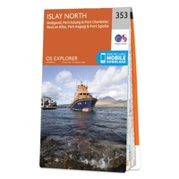 Wandelkaart - Topografische kaart 353 OS Explorer Map Islay North | Ordnance Survey
 Topografische kaart 353-IV Plasencia de Jalón | CNIG - Instituto Geográfico Nacional1
Laatste reviews

Prima kaart voor tochtplanning en backup
Duuraam resistent papier. Voor navigatie zou een meer gedetailleerde schaal beter zijn, maar de eigenlijke wandelroutes zijn ook in het veld vindbaar door markering. In …
★★★★★ door Jan Willem Genuit 14 mei 2026 | Heeft dit artikel gekocht
Duidelijke kaart
Prima kaart met veel informatie.
★★★★★ door Hans 13 mei 2026 | Heeft dit artikel gekocht
Goede kaart, maar weinig meerwaarde boven de 1:200.000-kaart
Op zich een goede kaart, maar het is eigenlijk gewoon een uitvergroting van de bekende 1:200.000-kaarten, dus weinig tot geen extra informatie. Wel wat duidelijker …
★★★★★ door FGM Ballhaus 13 mei 2026 | Heeft dit artikel gekocht
Iets te grote schaal voor wandelen, maar verder een goede kaart voor wandelen en fietsen
Duidelijke kaart, goed voor fietsen, iets minder voor wandelen door de schaal, maar er is heel weinig kaartmateriaal voor dit gebied dus daarom toch dik …
★★★★★ door FGM Ballhaus 13 mei 2026 | Heeft dit artikel gekocht