Winkelwagen
Geen items in winkelwagen
Ga naar winkelwagen
Topografische kaarten - Europa
 Topografische kaart 1086-III El Cotillo (Fuerteventura) | CNIG - Instituto Geográfico Nacional
 Topografische kaart 1086-IV La Oliva (Fuerteventura) | CNIG - Instituto Geográfico Nacional
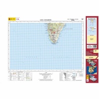 Topografische kaart 1087 MT50 Los Canarios (La Palma) | CNIG - Instituto Geográfico Nacional1
 Wandelkaart - Topografische kaart 1087 Passwang | Swisstopo
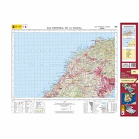 Topografische kaart 1088 MT50 San Cristóbal de la Laguna (Tenerife) | CNIG - Instituto Geográfico Nacional1
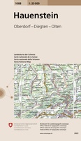 Wandelkaart - Topografische kaart 1088 Hauenstein | Swisstopo★★★★★
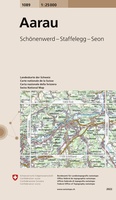 Wandelkaart - Topografische kaart 1089 Aarau | Swisstopo
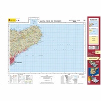 Topografische kaart 1089 MT50 Santa Cruz de Tenerife (Tenerife) | CNIG - Instituto Geográfico Nacional1
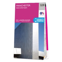 Wandelkaart - Topografische kaart 109 Landranger Manchester, Bolton & Warrington | Ordnance Survey
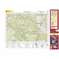 Topografische kaart 109 MT50 Villarcayo | CNIG - Instituto Geográfico Nacional1
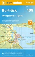 Topografische kaart - Wandelkaart 109 Sverigeserien Burträsk | Norstedts
 Wandelkaart - Topografische kaart 109 OS Explorer Map Bodmin Moor | Ordnance Survey★★★★★
 Topografische kaart 109-I Soncillo | CNIG - Instituto Geográfico Nacional1
 Wandelkaart - Topografische kaart 1090 Wohlen | Swisstopo
 Topografische kaart 1090 MT50 Puerto del Rosario (Fuerteventura) | CNIG - Instituto Geográfico Nacional1
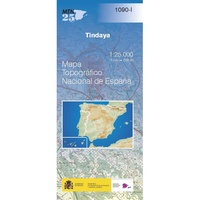 Topografische kaart 1090-I Tindaya (Fuerteventura) | CNIG - Instituto Geográfico Nacional
 Topografische kaart 1090-II Tetir (Fuerteventura) | CNIG - Instituto Geográfico Nacional
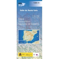 Topografische kaart 1090-III Valle de Santa Inés (Fuerteventura) | CNIG - Instituto Geográfico Nacional
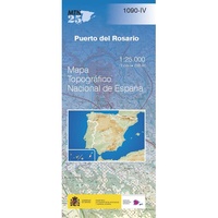 Topografische kaart 1090-IV Puerto del Rosario (Fuerteventura) | CNIG - Instituto Geográfico Nacional
 Topografische kaart 1091 MT50 Icod de los Vinos (Tenerife) | CNIG - Instituto Geográfico Nacional1
Laatste reviews

Prima kaart voor tochtplanning en backup
Duuraam resistent papier. Voor navigatie zou een meer gedetailleerde schaal beter zijn, maar de eigenlijke wandelroutes zijn ook in het veld vindbaar door markering. In …
★★★★★ door Jan Willem Genuit 14 mei 2026 | Heeft dit artikel gekocht
Duidelijke kaart
Prima kaart met veel informatie.
★★★★★ door Hans 13 mei 2026 | Heeft dit artikel gekocht
Goede kaart, maar weinig meerwaarde boven de 1:200.000-kaart
Op zich een goede kaart, maar het is eigenlijk gewoon een uitvergroting van de bekende 1:200.000-kaarten, dus weinig tot geen extra informatie. Wel wat duidelijker …
★★★★★ door FGM Ballhaus 13 mei 2026 | Heeft dit artikel gekocht
Iets te grote schaal voor wandelen, maar verder een goede kaart voor wandelen en fietsen
Duidelijke kaart, goed voor fietsen, iets minder voor wandelen door de schaal, maar er is heel weinig kaartmateriaal voor dit gebied dus daarom toch dik …
★★★★★ door FGM Ballhaus 13 mei 2026 | Heeft dit artikel gekocht