Winkelwagen
Geen items in winkelwagen
Ga naar winkelwagen
Topografische kaarten - Europa
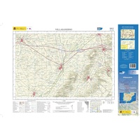 Topografische kaart 199-III Villasandino | CNIG - Instituto Geográfico Nacional1
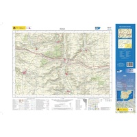 Topografische kaart 199-IV Isar | CNIG - Instituto Geográfico Nacional1
 Topografische kaart - Wandelkaart 19A Bergen aan Zee | Kadaster
 Topografische kaart - Wandelkaart 19B Alkmaar | Kadaster
 Topografische kaart - Wandelkaart 19C Castricum | Kadaster
 Topografische kaart - Wandelkaart 19D Wormerveer | Kadaster
 Topografische kaart - Wandelkaart 19E Obdam | Kadaster
 Topografische kaart - Wandelkaart 19F Hoorn | Kadaster
 Topografische kaart - Wandelkaart 19G Purmerend | Kadaster
 Topografische kaart - Wandelkaart 19H Edam | Kadaster
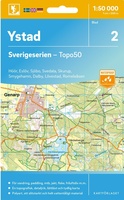 Topografische kaart - Wandelkaart 2 Sverigeserien Ystad | Norstedts
 Wandelkaart - Topografische kaart 1084 Damvant | Swisstopo
 Topografische kaart 1084 MT50 Playa Blanca (Lanzarote) | CNIG - Instituto Geográfico Nacional1
 Topografische kaart 1084-I/II Playa Blanca (Lanzarote) | CNIG - Instituto Geográfico Nacional
 Topografische kaart 1085 MT50 Santa Cruz de la Palma (La Palma) | CNIG - Instituto Geográfico Nacional1
 Wandelkaart - Topografische kaart 1085 St-Ursanne | Swisstopo
 Topografische kaart 1086 MT50 Corralejo (Fuerteventura) | CNIG - Instituto Geográfico Nacional1
 Wandelkaart - Topografische kaart 1086 Delémont | Swisstopo
 Topografische kaart 1086-I El Roque (Fuerteventura) | CNIG - Instituto Geográfico Nacional
 Topografische kaart 1086-II Corralejo (Fuerteventura) | CNIG - Instituto Geográfico Nacional
Laatste reviews

Prima kaart voor tochtplanning en backup
Duuraam resistent papier. Voor navigatie zou een meer gedetailleerde schaal beter zijn, maar de eigenlijke wandelroutes zijn ook in het veld vindbaar door markering. In …
★★★★★ door Jan Willem Genuit 14 mei 2026 | Heeft dit artikel gekocht
Duidelijke kaart
Prima kaart met veel informatie.
★★★★★ door Hans 13 mei 2026 | Heeft dit artikel gekocht
Goede kaart, maar weinig meerwaarde boven de 1:200.000-kaart
Op zich een goede kaart, maar het is eigenlijk gewoon een uitvergroting van de bekende 1:200.000-kaarten, dus weinig tot geen extra informatie. Wel wat duidelijker …
★★★★★ door FGM Ballhaus 13 mei 2026 | Heeft dit artikel gekocht
Iets te grote schaal voor wandelen, maar verder een goede kaart voor wandelen en fietsen
Duidelijke kaart, goed voor fietsen, iets minder voor wandelen door de schaal, maar er is heel weinig kaartmateriaal voor dit gebied dus daarom toch dik …
★★★★★ door FGM Ballhaus 13 mei 2026 | Heeft dit artikel gekocht