Winkelwagen
Geen items in winkelwagen
Ga naar winkelwagen
Topografische kaarten - Europa
 Topografische kaart 28 Sverigeserien Lerum | Norstedts
 Wandelkaart - Topografische kaart 28/7-8 Topo25 Menen | NGI - Nationaal Geografisch Instituut
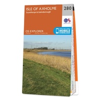 Wandelkaart - Topografische kaart 280 OS Explorer Map Isle of Axholme | Ordnance Survey
 Wandelkaart - Topografische kaart 2806 SB - Serie Bleue Jeumont - Maubeuge | IGN - Institut Géographique National
 Wandelkaart - Topografische kaart 2808 SB - Serie Bleue Hirson - Fourmies | IGN - Institut Géographique National
 Wandelkaart - Topografische kaart 2809 SB - Serie Bleue Rozoy-sur-Serre - Aubenton | IGN - Institut Géographique National★★★★★
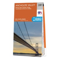 Wandelkaart - Topografische kaart 281 OS Explorer Map Ancholme Valley | Ordnance Survey
 Wandelkaart - Topografische kaart 2810 SB - Serie Bleue Château-Porcien, Dizy-le-Gros | IGN - Institut Géographique National
 Wandelkaart - Topografische kaart 2811 SB - Serie Bleue Bazancourt - Guignicourt - Asfeld | IGN - Institut Géographique National
 Wandelkaart - Topografische kaart 2812 SB - Serie Bleue Verzy - Reims | IGN - Institut Géographique National
 Wandelkaart - Topografische kaart 2813 SB - Serie Bleue Epernay-Verzy | IGN - Institut Géographique National
 Wandelkaart - Topografische kaart 2814 SB - Serie Bleue Thibie - Vertus | IGN - Institut Géographique National
 Wandelkaart - Topografische kaart 2815 SB - Serie Bleue Mailly-le-Camp, Fère-Champenoise | IGN - Institut Géographique National
 Wandelkaart - Topografische kaart 2816 SB - Serie Bleue Arcis-sur-Aube, Plancy-l'Abbaye | IGN - Institut Géographique National
 Wandelkaart - Topografische kaart 2817 SB - Serie Bleue Troyes, Lusigny-sur-Barse | IGN - Institut Géographique National
 Topografische kaart - Wandelkaart 2818 SB - Serie Bleue Bouilly | IGN - Institut Géographique National
 Topografische kaart - Wandelkaart 2819 SB - Serie Bleue Chaource | IGN - Institut Géographique National
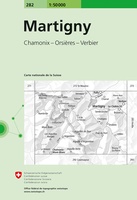 Wandelkaart - Topografische kaart 282 Martigny | Swisstopo
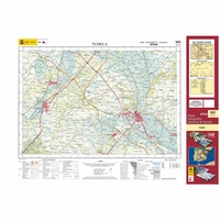 Topografische kaart 282 MT50 Tudela | CNIG - Instituto Geográfico Nacional1
 Wandelkaart - Topografische kaart 282 OS Explorer Map Lincolnshire Wolds North | Ordnance Survey
Laatste reviews

Super
Rother wandelgidsen stellen nooit teleur. Mooie routes, goede opgave kilometers, hoogtemeters en horeca. Een aanrader!
★★★★★ door Anita Geel 13 januari 2026 | Heeft dit artikel gekocht
Prachtig boek!
Mooi boek met prachtige foto’s! Voldoet helemaal aan mijn verwachtingen.
★★★★★ door Hans Eldering 13 januari 2026 | Heeft dit artikel gekocht
zeer vlotte levering
het product voldeed aan mijn verwachtingen en was geplastificeerd wat natuurlijk perfect is voor kaart die veel wordt geraadpleegd!
★★★★★ door Peter Lantinga 13 januari 2026 | Heeft dit artikel gekocht
Gedetailleerde wegenkaart
Ik heb de wegenkaart Maleisië aangeschaft om zelf een rondreis per huurauto te kunnen plannen. Deze kaart heeft daar heel goed bij geholpen doordat er …
★★★★★ door M. Rizvi 13 januari 2026 | Heeft dit artikel gekocht