Harvey Maps
Superhandige wandelkaarten van Harvey Maps voor Engeland, Schotland & Wales
 Wandelkaart Yorkshire Dales Noord Oost | Harvey Maps
Covers a large area yet is handily compact. Pocket perfect! Detailed map for runners and walkers of the north eastern part of the Yorkshire Dales National Park at the …
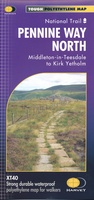 Wandelkaart Pennine Way North | Harvey Maps
Mooie, duidelijke kaart van het Noordelijke gedeelte van de Pennine Way (Middleton-in-Teesdale naar Kirk Yetholm). The whole of the Pennine Way on just 2 maps! Pennine Way North map …
★★★★★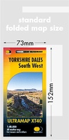 Wandelkaart Yorkshire Dales Zuid West | Harvey Maps
HARVEY launch innovative new series: Ultramap XT40. 16 titles featuring in Trail magazine through spring 2016. 40 years experience have gone into HARVEY's most creative new series. The Ultramap covers …
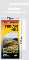 Wandelkaart Pentland Hills | Harvey Maps
Covers a large area yet is handily compact. Pocket perfect!Detailed map for runners and walkers of the whole of the Pentlands at the magic scale of 1:40,000 on one side …
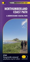 Wandelkaart Northumberland Coast Path and Berwickshire Coastal Path | Harvey Maps
Mooie, duidelijke kaart van de Northumberland Coast Path en het vervolg daarop de Berwickshire Coastal Path in Noord-Engeland en Schotland. Geplastificeerd met veel extra informatie en uitsnedes van de route. …
 Wandelkaart Snowdonia Noord /Snowdon,Glyders,Carnedds | Harvey Maps
New Revised Edition and Format. More than a map, an essential piece of equipment this new generation HARVEY Superwalker is designed to be the most practical tool for navigation outdoors. …
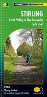 Fietskaart Stirling / Forth Valley &The Trossachs | Harvey Maps
Cycling map of Stirling, the Forth Valley and the Trossachs at 1:80,000 scale Map shows 16 graded cycle routes with detailed route descriptions on reverse Includes enlargement of …
 Wandelkaart Pentland Hills | Harvey Maps
The whole of the Pentlands on one side of one sheet. More than a map, an essential piece of equipment this new generation HARVEY Superwalker is designed to be the …
 Wandelkaart South Loch Ness Trail | Harvey Maps
Mooie, duidelijke kaart van de South Loch Ness Trail in Schotland. Geplastificeerd met veel extra informatie en uitsnedes van de route. This map has been produced in association with …
★★★★★ Wandelkaart Brecon Beacons | Harvey Maps
"The Brecon Beacons have an irresistible draw and this is where I began my journey to the roof of the world. The breathtaking landscape provides challenges and adventures for all …
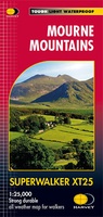 Wandelkaart Mourne Mountains | Harvey Maps
The Mournes, a granite mountain range in County Down, includes the highest mountains in Northern Ireland. The highest is Slieve Donard at 850 metres. Detailed map for hillwalkers of …
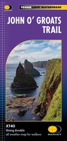 Wandelkaart John O'Groats trail | Harvey Maps
Mooie, duidelijke kaart van de John O'Groats trail in Schotland. Geplastificeerd met veel extra informatie en uitsnedes van de route. The John o' Groats Trail is a 237 km (147 …
★★★★★★★★★★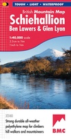 Wandelkaart Schiehallion / Ben Lawers & Glen Lyon | Harvey Maps
"I've spent most of my climbing career searching for new crags and bouldering areas and until Harvey Maps came along it was a process of trial and error. Their attention …
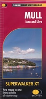 Wandelkaart Mull - Iona - Ulva | Harvey Maps
Zeer duidelijke kaart van Mull, met o.a. hoogtelijnen en geschikt voor gebruik met GPS.Two maps in one! 1:25,000 scale walking map of the mountains of Mull with a recreation …
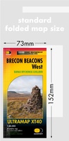 Wandelkaart Brecon Beacons West | Harvey Maps
Covers a large area yet is handily compact. Pocket perfect! Detailed map for runners and walkers of the western part of the Brecon Beacons National Park at the magic …
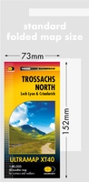 Wandelkaart Trossachs Noord | Harvey Maps
Covers a large area yet is handily compact. Pocket perfect! Detailed map for runners and walkers of the northern section of the Trossachs National Park at the magic scale …
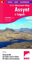 Wandelkaart Assynt & Coigach | Harvey Maps
"This is a fabulous map for a fabulous area; for the first time it shows crags, bouldering areas and clear details in what could seem a maze of rock and …
 Wandelkaart Loch Lomond & The Trossachs | Harvey Maps
Covers a large area yet is handily compact. Pocket perfect! Detailed map for runners and walkers of Loch Lomond & the Trossachs National Park at the magic scale of …
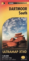 Wandelkaart Dartmoor Zuid | Harvey Maps
Covers a large area yet is handily compact. Pocket perfect! Detailed map for runners and walkers of the south section of Dartmoor National Park at the magic scale of …
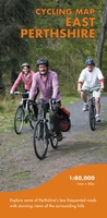 Fietskaart Cycle Rides in the Yorkshire Dales | Harvey Maps
8 cycle rides in the Yorkshire Dales varying in length from 11 to 23 miles. Includes detailed maps plus written route directions. Information on local points of interest and …
Laatste reviews

Heel duidelijke wandelkaart. De kaart maakt het ook zeer eenvoudig om verschillende routes te combineren.
★★★★★ door Stefan 09 november 2026 | Heeft dit artikel gekocht
Vertrouwde fietsgids van Paul Benjaminse, met veel keuzemogelijkheden van fietsroutes.
★★★★★ door Wilco Meijers 09 november 2026 | Heeft dit artikel gekocht
Vertrouwde fietsgids van Paul Benjaminse, dan weet je dat het goed zit.
★★★★★ door Wilco Meijers 09 november 2026 | Heeft dit artikel gekocht
Snelle levering, duidelijke kaart!
★★★★★ door Christa 06 november 2026 | Heeft dit artikel gekocht