Top 25
De kaarten van IGN (kort voor Institute Geographique National), wandelkaarten voor Frankrijk, zijn van een ongekend hoog niveau. Met name de wandelkaarten 1:25.000 vinden wij geweldig: werkelijk alles staat erop, de kaarten bevatten zeer veel details en het kleurgebruik is fantastisch, waardoor alles ook nog eens heel goed leesbaar. Je hoort het: wij zijn fan van deze kaarten!
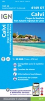 Wandelkaart - Topografische kaart 4149OT Calvi - Cirque de Bonifatu | IGN - Institut Géographique National
 Wandelkaart - Topografische kaart 4150OT Porto - Calanche du Piana | IGN - Institut Géographique National★★★★★
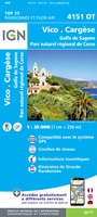 Wandelkaart - Topografische kaart 4151OT Vico - Cargèse | IGN - Institut Géographique National
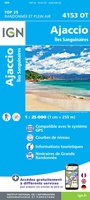 Wandelkaart - Topografische kaart 4153OT Ajaccio | IGN - Institut Géographique National
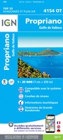 Wandelkaart 4154OT Propriano | IGN - Institut Géographique National★★★★★
 Wandelkaart - Topografische kaart 4249OT L'Île Rousse | IGN - Institut Géographique National
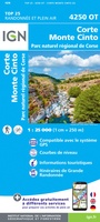 Wandelkaart - Topografische kaart 4250OT Corte - Monte Cinto | IGN - Institut Géographique National★★★★★★★★★★
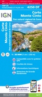 Wandelkaart - Topografische kaart 4250OTR Corte - Monte Cinto | IGN - Institut Géographique National
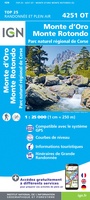 Wandelkaart - Topografische kaart 4251OT Monte d'Oro - Monte Rotondo | IGN - Institut Géographique National★★★★★
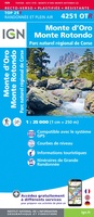 Wandelkaart - Topografische kaart 4251OTR Monte d'Oro - Monte Rotondo | IGN - Institut Géographique National
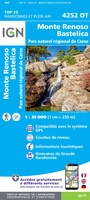 Wandelkaart - Topografische kaart 4252OT Monte Renoso | IGN - Institut Géographique National
 Wandelkaart - Topografische kaart 4252OTR Monte Renoso | IGN - Institut Géographique National
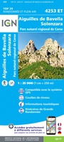 Wandelkaart - Topografische kaart 4253ET Aiguilles-de-Bavella - Solenzara | IGN - Institut Géographique National
 Wandelkaart - Topografische kaart 4253OT Petreto-Bicchisano - Zicavo | IGN - Institut Géographique National
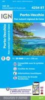 Wandelkaart - Topografische kaart 4254ET Porto-Vecchio | IGN - Institut Géographique National
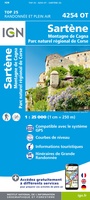 Wandelkaart - Topografische kaart 4254OT Sartène | IGN - Institut Géographique National
 Wandelkaart - Topografische kaart 4255OT Bonifacio | IGN - Institut Géographique National
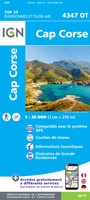 Wandelkaart - Topografische kaart 4347OT Cap Corse | IGN - Institut Géographique National
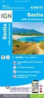 Wandelkaart - Topografische kaart 4348OT Bastia | IGN - Institut Géographique National
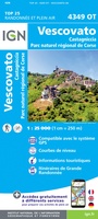 Wandelkaart - Topografische kaart 4349OT Vescovato | IGN - Institut Géographique National
Laatste reviews

Rother wandelgidsen stellen nooit teleur. Mooie routes, goede opgave kilometers, hoogtemeters en horeca. Een aanrader!
★★★★★ door Anita Geel 13 januari 2026 | Heeft dit artikel gekocht
Mooi boek met prachtige foto’s! Voldoet helemaal aan mijn verwachtingen.
★★★★★ door Hans Eldering 13 januari 2026 | Heeft dit artikel gekocht
het product voldeed aan mijn verwachtingen en was geplastificeerd wat natuurlijk perfect is voor kaart die veel wordt geraadpleegd!
★★★★★ door Peter Lantinga 13 januari 2026 | Heeft dit artikel gekocht
Ik heb de wegenkaart Maleisië aangeschaft om zelf een rondreis per huurauto te kunnen plannen. Deze kaart heeft daar heel goed bij geholpen doordat er …
★★★★★ door M. Rizvi 13 januari 2026 | Heeft dit artikel gekocht