Winkelwagen
Geen items in winkelwagen
Ga naar winkelwagen
MTN25
Nationale topografische kaarten van het Spaanse Cartografische Instituut van Spanje op een schaal van 1:25.000, die het resultaat zijn van het verdelen van elk vel van de MTN50 in vier kwarten.
Het gebied dat elk blad vertegenwoordigt, is 5 minuten breedtegraad bij 10 minuten lengtegraad. UTM-projectie. De gelijke afstand van de contourlijnen is 10 m.
Het overzicht van deze kaarten vindt u hier.
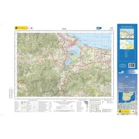 Topografische kaart 9-IV Foz | CNIG - Instituto Geográfico Nacional1
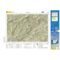 Topografische kaart 90-I Ituren | CNIG - Instituto Geográfico Nacional1
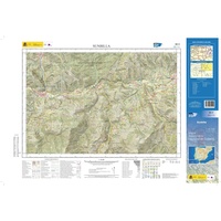 Topografische kaart 90-II Sunbilla | CNIG - Instituto Geográfico Nacional1
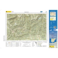 Topografische kaart 90-III Eratsun | CNIG - Instituto Geográfico Nacional1
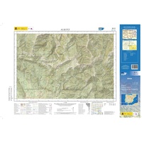 Topografische kaart 90-IV Alkotz | CNIG - Instituto Geográfico Nacional1
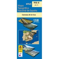 Topografische kaart 910-II Caravaca de la Cruz | CNIG - Instituto Geográfico Nacional1
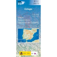 Topografische kaart 911-I Cehegín | CNIG - Instituto Geográfico Nacional
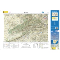 Topografische kaart 912-I Ricote | CNIG - Instituto Geográfico Nacional1
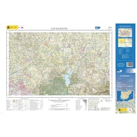 Topografische kaart 913-I Los Valientes | CNIG - Instituto Geográfico Nacional1
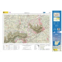 Topografische kaart 913-II Orihuela | CNIG - Instituto Geográfico Nacional1
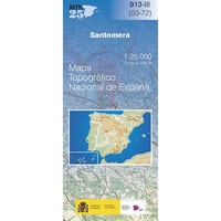 Topografische kaart 913-III Santomera | CNIG - Instituto Geográfico Nacional
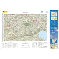 Topografische kaart 913-IV Bigastro | CNIG - Instituto Geográfico Nacional1
 Topografische kaart 914-I Almoradí | CNIG - Instituto Geográfico Nacional1
 Topografische kaart 914-II Guardamar de Segura | CNIG - Instituto Geográfico Nacional1
 Topografische kaart 914-III/IV Benejúzar | CNIG - Instituto Geográfico Nacional
 Topografische kaart 92-II/IV Fisterra | CNIG - Instituto Geográfico Nacional
 Topografische kaart 922-II Santa María de Trassierra | CNIG - Instituto Geográfico Nacional1
 Topografische kaart 928-I Chilluévar | CNIG - Instituto Geográfico Nacional
 Topografische kaart 928-II La Iruela | CNIG - Instituto Geográfico Nacional1
 Topografische kaart 928-III Quesada | CNIG - Instituto Geográfico Nacional
Laatste reviews

Duidelijk, overzichtelijk en geplastificeerde wandelkaart
Uitstekend
★★★★★ door Nelly van Ginkel 24 juli 2026 | Heeft dit artikel gekocht
Handige kaart
Fijne kaart waterafstootend.
★★★★★ door Nicole 21 juli 2026 | Heeft dit artikel gekocht
Mooie kaart.
Mooie helder kaart, netjes bezorgd
★★★★★ door Michael Rijke 21 juli 2026 | Heeft dit artikel gekocht
Mooie wandelkaart, lekker stevig ook!
Fijne wandelkaart, gedetailleerd en met veel extra info. Super fijn om m voor onze vakantie al te kunnen kopen, zo kon de voorpret al beginnen …
★★★★★ door Wille Groenewolt 21 juli 2026 | Heeft dit artikel gekocht