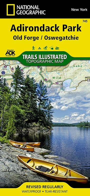
Wandelkaart - Topografische kaart 745 Adirondack Park - Old Forge - Oswegatchie | National Geographic (9781566954198)
- ISBN / CODE: 9781566954198
- Editie: 01-04-2019
- Aantal blz.: 1
- Schaal: 1:75000
- Uitgever: National Geographic
- Soort: Topografische kaart, Wandelkaart
- Taal: Engels
- Hoogte: 19.0 cm
- Breedte: 10.0 cm
- Gewicht: 93.0 g
- Uitvoering: Scheur- en watervast
- Schrijf als eerste een review
-
€ 17,95
Leverbaar in 3 - 5 werkdagen in huis in Nederland Levertijd Belgie
Gratis verzending in Nederland vanaf €50,-
-
Overzicht Wandelkaarten New York Trails Illustrated National Geographic
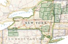
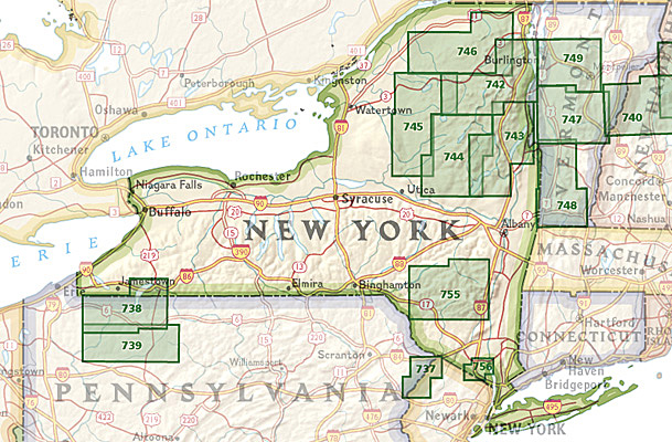
Producten op deze overzichtskaart:
Klik op een product om naar de pagina van dat product te gaan.
- Wandelkaart - Topografische kaart 743 Adirondack Park - Lake George - Great Sacandaga | National Geographic
- Wandelkaart - Topografische kaart 744 Adirondack Park - Northville - Raquette Lake | National Geographic
- Wandelkaart - Topografische kaart 745 Adirondack Park - Old Forge - Oswegatchie | National Geographic
- Wandelkaart - Topografische kaart 746 Adirondack Park - Saranac - Paul Smiths | National Geographic
- Wandelkaart 756 Harriman, Bear Mountain, Sterling Forest State Parks | National Geographic
Overzichtskaarten
Beschrijving
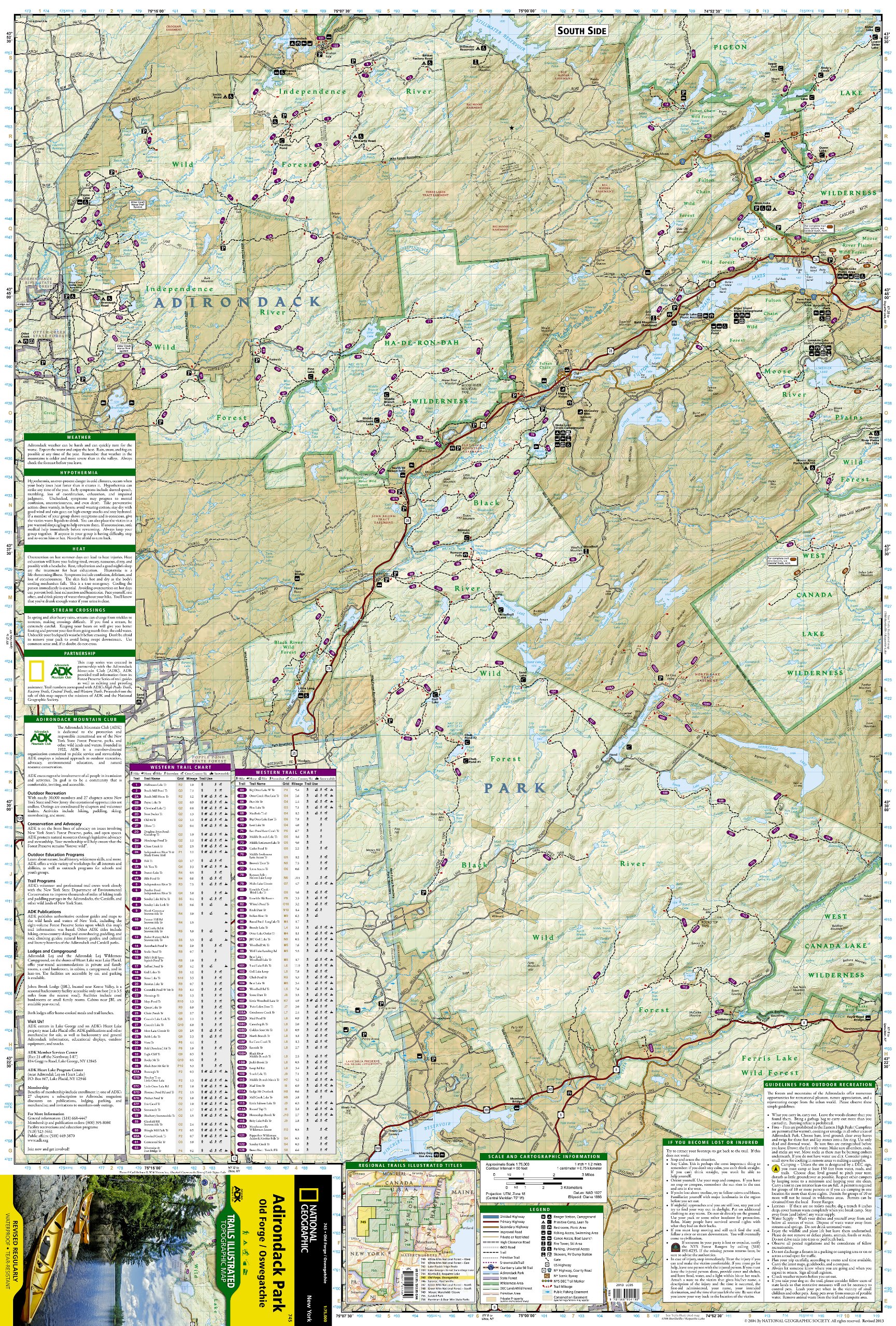
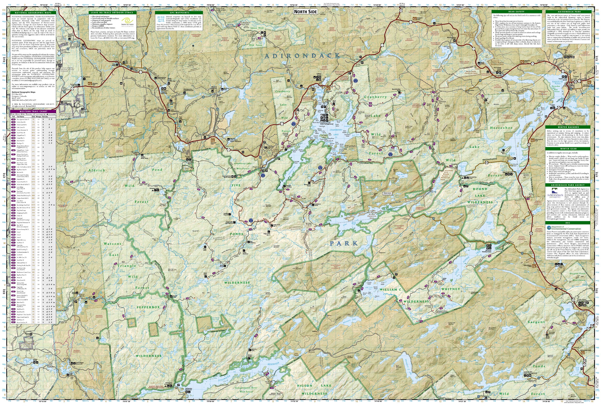
Prachtige geplastificeerde kaart van het bekende nationaal park. Met alle recreatieve voorzieningen als campsites, maar ook met topografische details en wandelroutes ed. Door uitgekiend kleurgebruik zeer prettig in gebruik. Scheur en watervast!
Reviews
Geen reviews gevonden voor dit product.
Schrijf een review
Graag horen wij wat u van dit artikel vindt. Vindt u het goed, leuk, mooi, slecht, lelijk, onbruikbaar of erg handig: schrijf gerust alles op! Het is niet alleen leuk om te doen maar u informeert andere klanten er ook nog mee!
Ook interessant voor noord-amerika/verenigde-staten-van-amerika/nationale-parken
-

Wandelkaart - Topografische kaart 30
€ 14,95Topografische kaarten Nationale Parken Verenigde Staten van Amerika -

Wandelkaart - Topografische kaart 21
€ 17,95Topografische kaarten Nationale Parken Verenigde Staten van Amerika -

Wegenkaart - landkaart 3127 United S
€ 18,50Wegenkaarten Noordoost USA -

Wandelkaart - Topografische kaart 21
€ 17,95Topografische kaarten Nationale Parken Verenigde Staten van Amerika -

Wandelkaart - Topografische kaart 22
€ 17,95Topografische kaarten Nationale Parken Verenigde Staten van Amerika