Wegenkaarten - Noord-Amerika
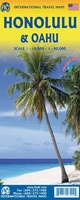 Wegenkaart - landkaart Honolulu and Oahu | ITMB
Een degelijke kaart met aanduidingen van o.a. nationale parken, vliegveld, benzinepomp, dirt-roads en kleine plattegrond van hoofdstad. As overzichtskaart goed te gebruiken. Schaal: - Oahu 1:80.000 - Honolulu 1:18.000 Honolulu/Waikiki …
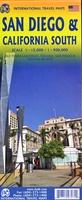 Wegenkaart - landkaart - Stadsplattegrond San Diego - California south | ITMB
Wegenkaart en stadsplattegrond in een kaart: aan de ene zijde San Diego stadsplattegrond en op de andere kant een kaart van het zuiden van Californië. San Diego on a clear, …
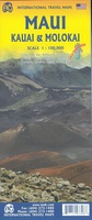 Wegenkaart - landkaart Maui, Kauai, & Molokai | ITMB
At long last, we have finally found time to complete our detailed mapping of the American state of Hawaii. The island of Maui may not be at well-known as Oahu, …
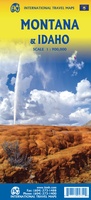 Wegenkaart - landkaart Montana & Idaho | ITMB
Een degelijke kaart met aanduidingen van o.a. nationale parken, vliegveld, benzinepompen. ITMB is pleased to release two more state maps, this time of Montana on one side, and adjacent Idaho …
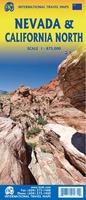 Wegenkaart - landkaart Nevada & Northern California | ITMB
Een degelijke kaart met aanduidingen van o.a. nationale parken, vliegveld, benzinepompen. The USA is one of the most challenging countries to map due to its strong identification with state …
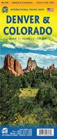 Wegenkaart - landkaart Denver and Colorado | ITMB
Een degelijke kaart met aanduidingen van o.a. nationale parken, vliegveld, benzinepomp, dirt-roads en kleine plattegrond van hoofdstad. Als overzichtskaart goed te gebruiken. This is a brand new title for ITMB. …
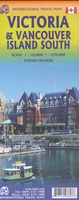 Wegenkaart - landkaart - Fietskaart Vanouver Island south - Victoria | ITMB
ITMB wegenkaarten en wandelkaarten kenmerken zich door het kleurgebruik waarbij zo de nadruk wordt gelegd op de natuurkundige aspecten van het land of de streek. Het soort landschap en de …
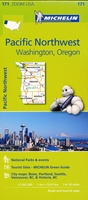 Wegenkaart - landkaart 171 Pacific Northwest - Washington Oregon | Michelin
Bijzonder goed leesbare kaart van een deel van de Verenigde Staten - USA, in dit geval het gebied van de staten Washington en Oregen - Pacific Northwest. Op deze …
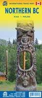 Wegenkaart - landkaart Northern British Columbia | ITMB
British Columbia is big! Gargantuan huge, in fact, although it is lightly populated. ITMB published a map of the more densely populated southern half of the province a number of …
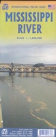 Wegenkaart - landkaart Mississippi river | ITMB
This is the third River map that we have published (the Amazon and Nile having been in print for several years). Old Miss’ is one of America’s paramount features. Starting …
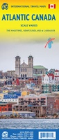 Wegenkaart - landkaart Atlantic Canada | ITMB
The first edition was published in 2000 using artwork under licence. This edition uses original ITMB artwork. Side 1 covers Nova Scotia, New Brunswick, and Prince Edward Island as well …
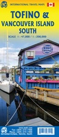 Wegenkaart - landkaart Tofino & Southern Vancouver Island | ITMB
Vancouver Island is one of the marvels of tourism in Canada. It is, in fact, so big that it needs to be explored in sections to reach its full potential. …
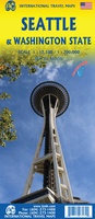 Wegenkaart - landkaart Seattle & Washington State | ITMB
This is a new title for ITMB, in that it is the first time we have mapped the State of Washington. The actual area of the map includes Portland and …
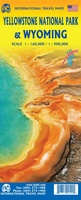 Wegenkaart - landkaart Yellowstone National Park and Wyoming | ITMB
The USA is a vast and wonderful land to explore. ITMB is steadily increasing our coverage of this important travel destination and this month concentrates on the State of Wyoming, …
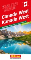 Wegenkaart - landkaart Canada West | Hallwag
Strassenkarte Kanada WestStrassenkarte mit Transitplänen, Ortsindex, touristische Informationen und Sehenswürdigkeiten.Aktuelle Information, übersichtliche Darstellung, einfache Handhabung: das Markenzeichen der Hallwag-Strassenkarten. Das internationale Programm mit neuen Ideen für besseres Reisen bietet Ihnen …
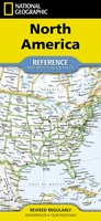 Wegenkaart - landkaart North America - Noord Amerika | National Geographic
• Waterproof • Tear-Resistant • Reference Map Expertly researched and designed, National Geographic's North America Flags & Facts Map is the authoritative map of North America by which other …
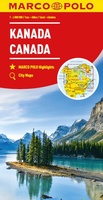 Wegenkaart - landkaart Kanada - Canada | Marco Polo
Marco Polo Canada Map: the ideal map for your trip Let the Marco Polo Canada Map guide you around this incredible country. Plan your great Canadian road trip with …
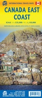 Wegenkaart - landkaart Canada East Coast | ITMB
Canada is a vast country in area; inconceivably enormous in European terms. It is best mapped as a series of regional maps and this is the first of two maps …
 Wegenkaart - landkaart US East Coast | ITMB
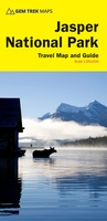 Wegenkaart - landkaart - Wandelkaart Jasper National Park (Alberta) | Gem Trek Maps
Waterproof and tear-resistant map for Jasper National Park in the Canadian Rockies. Whether you are a first-time visitor or a long-time local, you’ll find Gem Trek’s Jasper National Park …
Laatste reviews

Ik ben zeer tevreden over mijn aankoop. Ik heb de kaarten elke dag van de vakantie gebruikt en ze waren voor mij duidelijk en waardevol. …
★★★★★ door Jeanne Melters 30 april 2024 | Heeft dit artikel gekocht
De kaart was bijzonder goed en zeer gedetaildeerd. Wij hebben er als wandelaars veel plezier van gehad. Ook met het rijden was de kaart , …
★★★★★ door Albert Abbink 30 april 2024 | Heeft dit artikel gekocht
Snel en goed geleverd Klopt precies zoals vermeld op site 👍👍
★★★★★ door Jan Schreutelkamp 30 april 2024 | Heeft dit artikel gekocht
Fijne gids met leuke wandelingen. Afstanden en hoogten zijn niet nauwkeurig. Je kunt er gerust wat kilometers en hoogtemeters bijtellen.
★★★★★ door wijnand 30 april 2024 | Heeft dit artikel gekocht