Mandje Tel: +31503126950 Menu
Winkelwagen
Geen items in winkelwagen
Ga naar winkelwagen

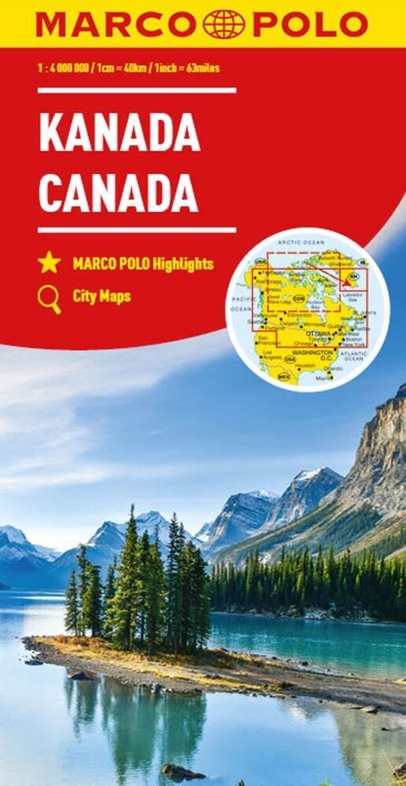
Wegenkaart - landkaart Kanada - Canada | Marco Polo (9783575018717)

  • ISBN / CODE: 9783575018717
  • Editie: 2023
  • Druk: 9
  • Schaal: 1:4000000
  • Uitgever: Marco Polo
  • Soort: Wegenkaart
  • Taal: Engels, Duits, Frans
  • Hoogte: 25.0 cm
  • Breedte: 13.0 cm
  • Dikte: 4.0 cm
  • Gewicht: 240.0 g
  • Bindwijze: -
  • Uitvoering: Papier
  • Schrijf als eerste een review
  • 13,95

    Op voorraad. Binnen 2 - 3 werkdagen in huis in Belgie Levertijd Nederland Voor 17.00 uur op werkdagen besteld, morgen in huis in Nederland Levertijd Belgie

    Gratis verzending in Nederland vanaf €35,-

Beschrijving

Marco Polo Canada Map: the ideal map for your trip
 
Let the Marco Polo Canada Map guide you around this incredible country. Plan your great Canadian road trip with this highly durable, overview map of Canada. It folds away easily and is always on standby to help when you're stuck.
 
Perfect touring map - the scale is 1 : 4 000 000* ideal to help you tour the main highways by car, RV or campervan
Easy to use - the super clear mapping in strong colours and clear text will help you navigate easily
Includes 6 city maps - detailed street maps of Calgary, Montreal, Ottawa, Quebec, Toronto, Vancouver as well as maps of key National Parks including Jasper, Banff, Yoho, Kootenay and Waterton Lakes
Canada highlights - major sights and key points of interest are marked on the map by numbered stars and these are listed in the index booklet with a brief description to help you pick the best places to see en route
Extensive index - the thorough index is fully cross-referenced to the map to help you pinpoint your destination quickly
For the big trips and the little detours, trust Marco Polo's clear mapping and thorough index to guide you around beautiful Canada.
 
Entdecken Sie mit dieser MARCO POLO Karte das Land der unberührten Natur . . . Die Karten bestechen durch eine leicht lesbare, neue Kartografie, in der durchgängig landschaftlich schöne Strecken und Orte markiert sind. Schon in der im Kartendeckel befindlichen, ausklappbaren Übersichtskarte sind die schönsten Orte mit Highlightsternen gekennzeichnet und mit gelben oder grünen Markierungen unterlegt, um unterwegs auch wirklich nichts zu verpassen. Wo alle Orte auf der Karte zu finden sind, ist im Registerheft nachzuschlagen.
 
 
Sprachen: Deutsch, Englisch, Französisch
 
 
Hauptkarte 1: 4 000 000 mit mehrsprachiger Legende (GB, F, D, NL, F, I, E, CZ, PL); Nebenkarte Nunavut 1 : 12 000 000/ Übersichtskarte mit Highlightsternen zum Ausklappen/ Verwaltungskarte/ Entfernungstabelle/ Index: Marco Polo Highlights/ 2 Übersichtskarten: - Jasper/Banff/Yoho/Kootenay National Park - Waterton Lakes National Park 6 Citypläne: - Calgary - Montréal - Ottawa - Québec - Toronto - Vancouver Reise- und Verkehrsinformationen/ Liste der Nationalparks, Naturparke und Welterbestätten der UNESCO/ Ortsregister mit Nation, Provinz und Suchfeldangabe/ Ausgewählte Sehenswürdigkeiten, Landschafts- und Gewässernamen mit Suchfeldangabe


Reviews

Geen reviews gevonden voor dit product.

Schrijf een review

Graag horen wij wat u van dit artikel vindt. Vindt u het goed, leuk, mooi, slecht, lelijk, onbruikbaar of erg handig: schrijf gerust alles op! Het is niet alleen leuk om te doen maar u informeert andere klanten er ook nog mee!