Winkelwagen
Geen items in winkelwagen
Ga naar winkelwagen
Kaarten - Tarragona (Provincie)
 Topografische kaart 471-I Móra d'Ebre | CNIG - Instituto Geográfico Nacional
 Topografische kaart 471-II Móra La Nova | CNIG - Instituto Geográfico Nacional
 Topografische kaart 471-III El Pinell de Brai | CNIG - Instituto Geográfico Nacional
 Topografische kaart 472 MT50 Reus | CNIG - Instituto Geográfico Nacional1
 Topografische kaart 472-I Falset | CNIG - Instituto Geográfico Nacional
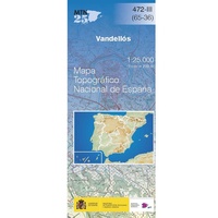 Topografische kaart 472-III Vandellòs | CNIG - Instituto Geográfico Nacional
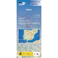 Topografische kaart 472-IV/473-III Salou | CNIG - Instituto Geográfico Nacional
 Topografische kaart 473 MT50 Tarragona | CNIG - Instituto Geográfico Nacional1
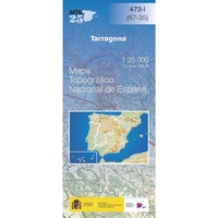 Topografische kaart 473-I Tarrogona | CNIG - Instituto Geográfico Nacional
 Topografische kaart 473-II Torredembarra | CNIG - Instituto Geográfico Nacional
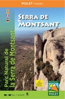 Wandelkaart Serra de Montsant (Catalonië, Spanje) | Editorial Piolet★★★★★★★★★★
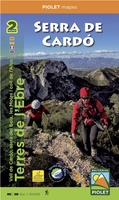 Wandelkaart Serra de Cardó | Editorial Piolet★★★★★
 Wandelkaart - Fietskaart Delta de l'Ebro - Ebro Delta | Editorial Piolet★★★★★
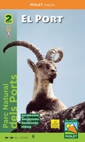 Wandelkaart El Port - Catalonië | Editorial Piolet
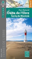 Wandelkaart 65 Ebro delta - Delta de l'Ebre, Serra de Montsia | Editorial Alpina
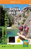 Wandelkaart Estels del Sud | Editorial Piolet
 Wegenkaart - landkaart Mapa Provincial Tarragona | CNIG - Instituto Geográfico Nacional
Laatste reviews

Onmisbaar
Deze kaart is onmisbaar bij het wandelen in de Eifel, we lopen jaarlijks de Hermannsweg met een vergelijkbare kaart en we kunnen echt niet zonder, …
★★★★★ door R. van den Driesche 01 juli 2026 | Heeft dit artikel gekocht
Prima kaart doe vlot is geleverd.
Ideale kaart om als toerist door Jutland te trekken. Prettige schaal.
★★★★★ door Irma van Hof 01 juli 2026 | Heeft dit artikel gekocht
Prima wandelgidsen
Kompassboekjes zijn prima gidsen. Dat wordt een leuke vakantie.
★★★★★ door Anna 01 juli 2026 | Heeft dit artikel gekocht
Handig formaat en gedetailleerd
Perfecte wegenatlas en door het A4 formaat handiger dan een uitvouwbare kaart. Fijne combinatie van de wegenatlas en het navigatiesysteem van google maps
★★★★★ door Hay van Emden 30 juni 2026 | Heeft dit artikel gekocht