Wegenkaart - landkaart Südtirol Alto Adige - Dolomiti - Zuid Tirol - Dolomieten | Tabacco Editrice (9788883151286)
scheur- en watervast met panoramakaart
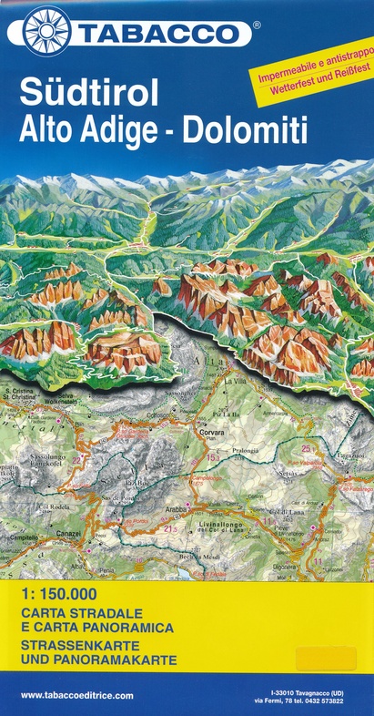
- ISBN / CODE: 9788883151286
- Editie: meest recente editie
- Schaal: 1:150000
- Uitgever: Tabacco Editrice
- Soort: Wegenkaart
- Taal: Engels, Italiaans
- Bindwijze: -
- Uitvoering: Scheur- en watervast
- Schrijf als eerste een review
-
€ 12,50
Op voorraad. Voor 17.00 uur op werkdagen besteld, morgen in huis in Nederland Levertijd Belgie
Gratis verzending in Nederland vanaf €35,-
Beschrijving
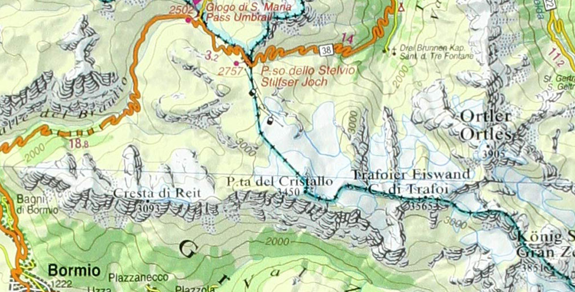
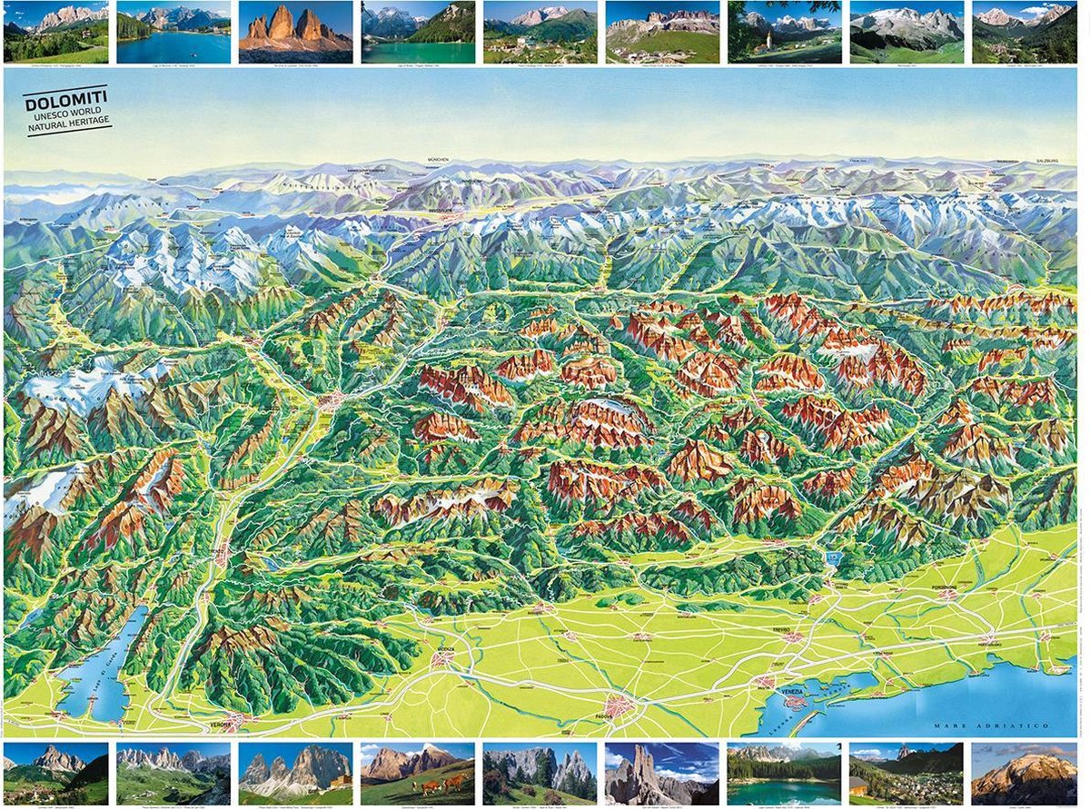
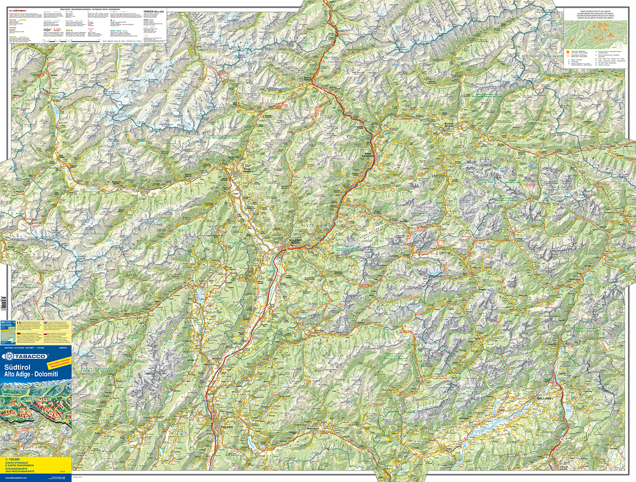
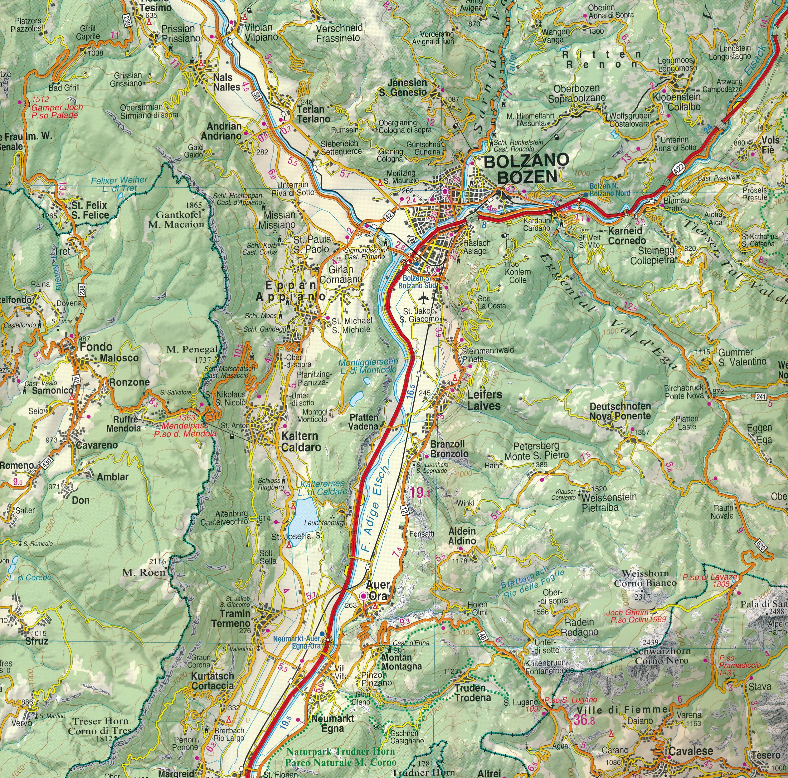
Heel duidelijke wegenkaart van Zuid Tirol. De kaart is goed leesbaar met mooie kleurstellin waardoor goed duidelijk wordt hoe en waar de bergbieden en nationale parken liggen.
Reviews
Geen reviews gevonden voor dit product.
Schrijf een review
Graag horen wij wat u van dit artikel vindt. Vindt u het goed, leuk, mooi, slecht, lelijk, onbruikbaar of erg handig: schrijf gerust alles op! Het is niet alleen leuk om te doen maar u informeert andere klanten er ook nog mee!
Ook interessant voor europa/italie/zuid-tirol-sudtirol-alto-adige
-

Fietsgids Bikeline Südtirol - Dolomi
€ 17,50Fietsgidsen Zuid-Tirol | SüdTirol | Alto Adige -

Fietskaart RK-STIR Bikeline Radkarte
€ 8,95Fietskaarten Zuid-Tirol | SüdTirol | Alto Adige -

Wegenkaart - landkaart 354 Dolomiete
€ 10,95Wegenkaarten Zuid-Tirol | SüdTirol | Alto Adige -

Wandelgids Auf alten Kriegspfaden un
€ 22,95Wandelgidsen Zuid-Tirol | SüdTirol | Alto Adige -

Reisgids Südtirol | Reise Know-How V
€ 27,50Reisgidsen Zuid-Tirol | SüdTirol | Alto Adige