Wegenkaart - landkaart - Fietskaart Donegal | Xploreit Maps (9780955265587)
- ISBN / CODE: 9780955265587
- Editie: 25-01-2018
- Druk: 1
- Aantal blz.: 1
- Schaal: 1:100000
- Uitgever: Xploreit Maps
- Soort: Fietskaart, Wegenkaart
- Taal: Engels, Duits
- Hoogte: 24.0 cm
- Breedte: 11.0 cm
- Gewicht: 133.0 g
- Uitvoering: Papier
- Bindwijze: -
- Schrijf als eerste een review
-
€ 21,95
Op voorraad. Voor 17.00 uur op werkdagen besteld, morgen in huis in Nederland Levertijd Belgie
Gratis verzending in Nederland vanaf €50,-

Beschrijving
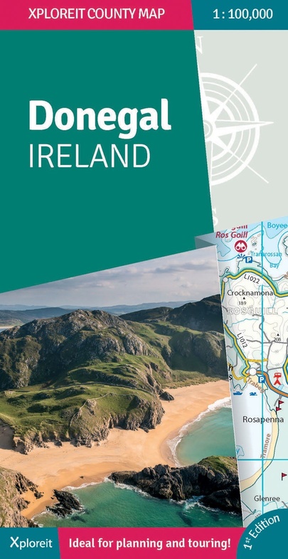
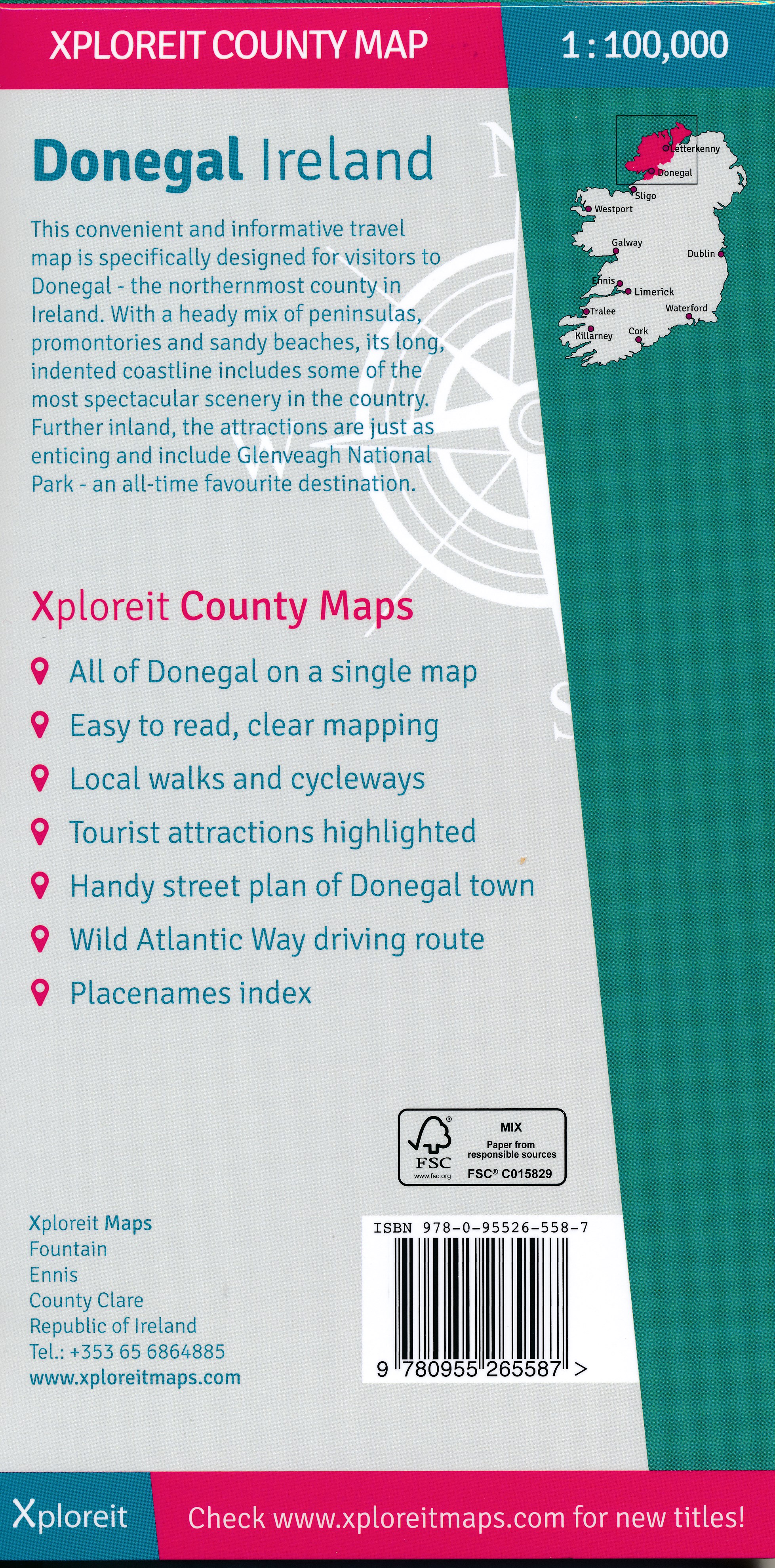
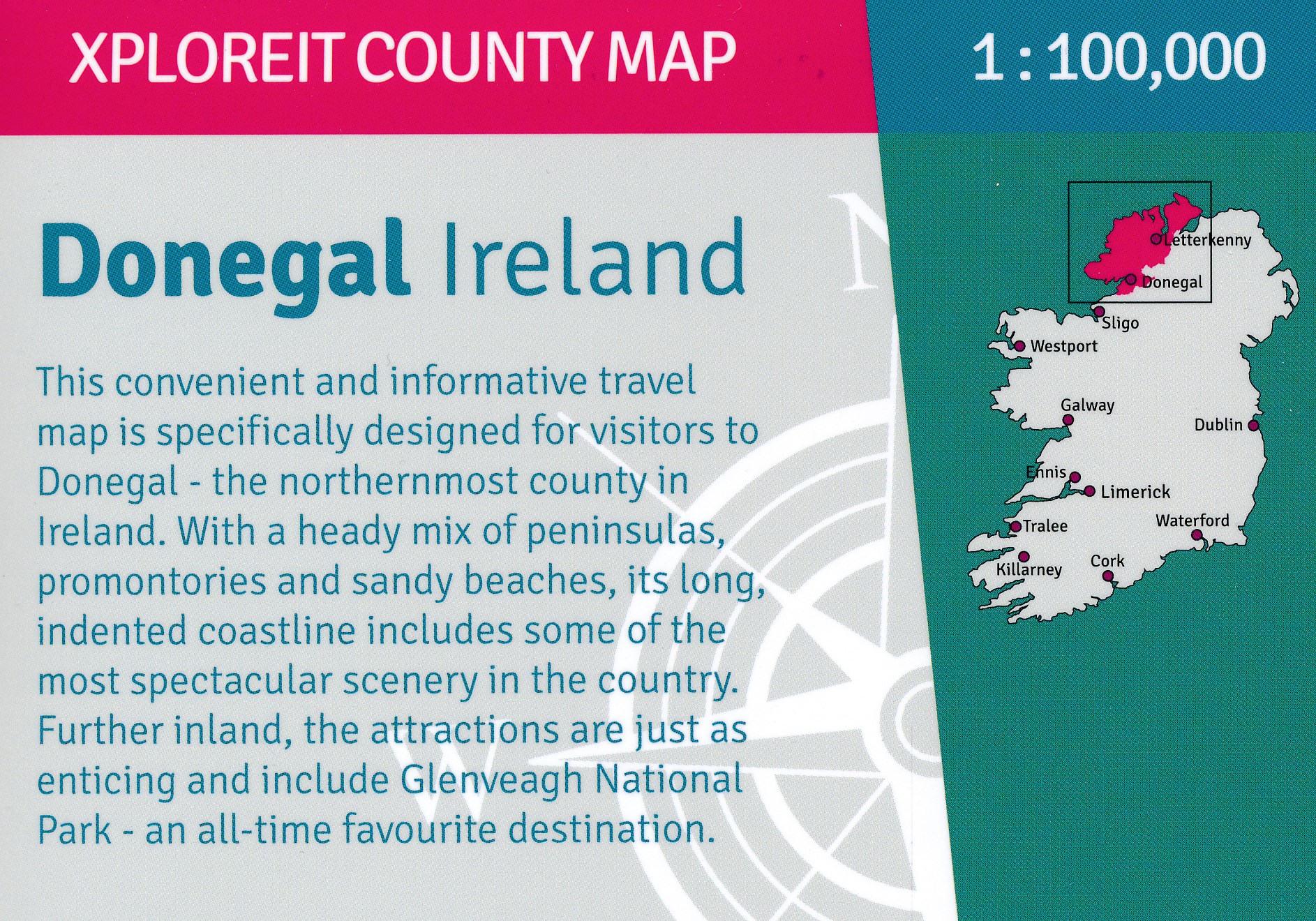
Zeer goed leesbare deelkaart van Ierland. Alle wegen, alle dorpen en steden en veel topografische details staan er op: daardoor zowel als wegenkaart ook als fietskaart goed te gebruiken. Naast de algemene kaartdetails zijn ook de bezienswaardigheden en historische monumenten goed ingetekend en makkelijk te vinden. Campings en jeugdherbergen maken het compleet.
Reviews
Geen reviews gevonden voor dit product.
Schrijf een review
Graag horen wij wat u van dit artikel vindt. Vindt u het goed, leuk, mooi, slecht, lelijk, onbruikbaar of erg handig: schrijf gerust alles op! Het is niet alleen leuk om te doen maar u informeert andere klanten er ook nog mee!
Ook interessant voor europa/ierland/donegal-mayo
-
 | Ordnance Survey Ireland")
Wegenkaart - landkaart Ireland North
€ 19,50Wegenkaarten Noord Ierland -

Fietsgids The Wild Atlantic Way and
€ 23,95Fietsgidsen Cork - Kerry - Dingle - Zuidwest Ierland -

Wandelgids Ireland's Wild Atlantic W
€ 23,95Wandelgidsen Cork - Kerry - Dingle - Zuidwest Ierland -

Topografische kaart - Wandelkaart 26
€ 19,50Topografische kaarten Donegal - Mayo - Noordwest Ierland -

Reisgids ANWB Ontdek Ierland & Noord
€ 24,50Reisgidsen Cork - Kerry - Dingle - Zuidwest Ierland