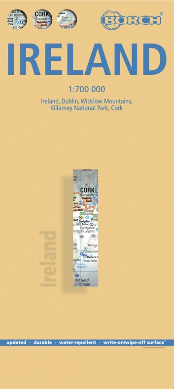
Wegenkaart - landkaart Ireland - Ierland | Borch (9783866093232)
- ISBN / CODE: 9783866093232
- Editie: 12-07-2014
- Druk: 18
- Aantal blz.: 1
- Schaal: 1:700000
- Uitgever: Borch
- Soort: Wegenkaart
- Taal: Engels, Duits, Frans, Italiaans, Spaans
- Hoogte: 25.0 cm
- Breedte: 11.0 cm
- Gewicht: 80.0 g
- Uitvoering: Scheur- en watervast
- Bindwijze: -
- Beoordeling: 5,0 ★★★★★ (2 reviews) Schrijf een review
-
€ 11,95
Op voorraad. Voor 17.00 uur op werkdagen besteld, morgen in huis in Nederland Levertijd Belgie
Gratis verzending in Nederland vanaf €50,-


Beschrijving
Reviews
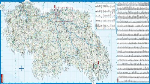
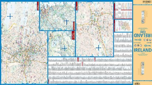
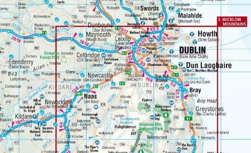
Dit is echt een kaart waar je het overzicht kunt vinden voor je reis. Heel Ierland staat op de ene kant en op de andere kant staan 4 gebieden uitvergroot. De kaart is glimmend gecoat en daardoor zeer waterafstotend. Deze kaart is ideaal voor het plannen van je auto reis en voor onderweg.
★★★★★ door Gwendolyn 21 februari 2024 | Heeft dit artikel gekochtVond u dit een nuttige review? (login om te beoordelen)
prima overzichtskaart voor hoofdwegen en snelle oriëntatie. Door het gebruikte materiaal scheurt en kreukt kaart niet en niet gevoelig voor regen :) ...heel handig
★★★★★ door Eveline 17 december 2012Vond u dit een nuttige review? (login om te beoordelen)
Schrijf een review
Graag horen wij wat u van dit artikel vindt. Vindt u het goed, leuk, mooi, slecht, lelijk, onbruikbaar of erg handig: schrijf gerust alles op! Het is niet alleen leuk om te doen maar u informeert andere klanten er ook nog mee!
Ook interessant voor europa/ierland
-

Topografische kaart - Wandelkaart 33
€ 19,50Topografische kaarten Killkenny - Waterford - Zuidoost Ierland -

Campergids Mit dem Wohnmobil Irland
€ 22,50Campergidsen Ierland -

Fietsgids Cols and Passes of the Bri
€ 18,50Fietsgidsen Wales -

Wegenkaart - landkaart 3303 Adventur
€ 18,50Wegenkaarten Ierland -

Wandkaart 20427 Ireland – Ierland, 7
€ 25,95Wandkaarten van landen Ierland