Winkelwagen
Geen items in winkelwagen
Ga naar winkelwagen
Vogezen - Elzas - Lotharingen
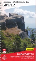 Wandelgids 7 GR5 Zuid Vogezen: Ribeauvillé – St Hippolyte | De Wandelende Cartograaf★★★★★★★★★★
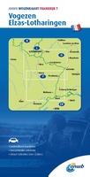 Wegenkaart - landkaart 7 Vogezen, Elzas-Lotharingen | ANWB Media★★★★★
 Wandelkaart 89032 Traversée du Massif des Vosges GR5 - GR53 Vogezen | IGN - Institut Géographique National
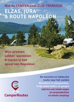 Campergids Met de camper naar Zuid-Frankrijk | Camperroutes.nl★★★★★★★★★★
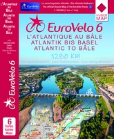 Fietskaart EuroVelo6 vom Atlantik bis zum Rhein per Rad | Huber Verlag★★★★★
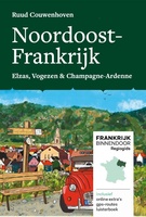 Reisgids Frankrijk binnendoor Noordoost-Frankrijk | eRCeeMedia
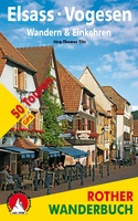 Wandelgids Elsass - Vogesen, Elzas - Vogezen Wandern & Einkehren. | Rother Bergverlag
 Reisgids Michelin groene gids Michelin Reisgids Elzas-Vogezen | Lannoo★★★★★
 Fietsgids Door de Zwarte Wouden naar de Bodensee | Benjaminse Uitgeverij★★★★★
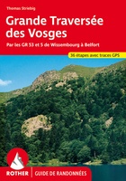 Wandelgids Vosges – Grande Traversée (Franstalig) | Rother Bergverlag
 Wandelgids Vogezen | Uitgeverij Elmar★★★★★★★★★★
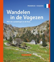 Wandelgids Wandelen in de Vogezen | One Day Walks★★★★★
 Reisgids World War 1 north east - Eerste Wereldoorlog | War travel
 Reisgids Saar-Lor-Lux (Dreiländereck Saarland, Lothringen, Luxemburg) | Reise Know-How Verlag
 Fietsgids Moesel - The Moselle Cycle Route | Cicerone
 Tourskigids Skitourenführer Schwarzwald mit Vogesen - Zwarte Woud en Vogezen | Rother Bergverlag
 Fietsgids Bikeline Moselle River Trail | Esterbauer
 Reisgids Dominicus Elzas, Vogezen en Jura | Gottmer
 Reisgids Frankrijk Puur Vogezen & Elzas Zuid | Joosse Media
 Fietsgids Onbegrensd fietsen van Amsterdam naar Rome, deel 1 Maastricht - Basel | Benjaminse Uitgeverij★★★★★★★★★★
Laatste reviews

Compact gidsje
Ben nog niet het veld in geweest met de gids maar de eerste indruk is veel informatie om een meerdaagse tocht uit te stippelen.
★★★★★ door Henk 04 juli 2026 | Heeft dit artikel gekocht
Beschikbaarheid en snelheid
Prima in orde!
★★★★★ door Marko 04 juli 2026 | Heeft dit artikel gekocht
Lekker analoog
Fijn boekje met veel informatie, behalve knooppunten Utrecht af en toe incorrect. Wat heerlijk om offline te navigeren, lekker analoog. Zodra je het systeem begrijpt …
★★★★★ door Daan 03 juli 2026 | Heeft dit artikel gekocht
Aanrader
Als je van geschiedenis, Groningen en kaarteen houdt, is dit echt een aanrader!
★★★★★ door Reinout 03 juli 2026 | Heeft dit artikel gekocht