Winkelwagen
Geen items in winkelwagen
Ga naar winkelwagen
Kaarten - Hautes-Alpes
 Wandelkaart 3238OT Luc-en-Diois | IGN - Institut Géographique National★★★★★★★★★★
 Wandelkaart 3239OT Rosans / Orpierre / Baronnies Orientales | IGN - Institut Géographique National★★★★★
 Wandelkaart - Topografische kaart 3335ET le Bourg d'Oisans - l'Alpe d'Huez | IGN - Institut Géographique National★★★★★
 Wegenkaart - landkaart 3336ET Les Deux Alpes | IGN - Institut Géographique National★★★★★
 Wandelkaart - Topografische kaart 3337OT Dévoluy | IGN - Institut Géographique National★★★★★★★★★★
 Wandelkaart - Topografische kaart 3338OT Serres - Veynes | IGN - Institut Géographique National
 Wandelkaart - Topografische kaart 3339ET la Motte-du-Caire | IGN - Institut Géographique National
 Wandelkaart 3339OT Sisteron / Laragne-Montéglin / Montagne de Chabre | IGN - Institut Géographique National★★★★★
 Wegenkaart - landkaart 334 Alpes de Haute Provence - Hautes Alpes | Michelin★★★★★★★★★★
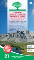 Wandelkaart 21 Briançon, Vallee de la Guisane, Vallee de la Claree | Fraternali Editore★★★★★
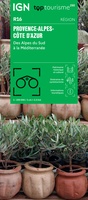 Wegenkaart - landkaart 16 TOP 250 Provence - Alpes - Côte d'Azur | IGN - Institut Géographique National
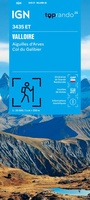 Wandelkaart 3435ET Valloire / Aiguilles d'Arves / Col du Galibier | IGN - Institut Géographique National★★★★★
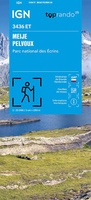 Wandelkaart 3436ET Meije - Pelvoux | IGN - Institut Géographique National★★★★★
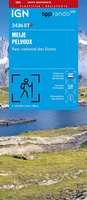 Wandelkaart 3436ETR Meije, Mont Pelvoux (Parc national des Ecrins) | IGN - Institut Géographique National★★★★★
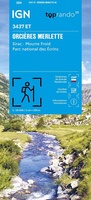 Wegenkaart - landkaart 3437ET Orcières-Merlette | IGN - Institut Géographique National★★★★★
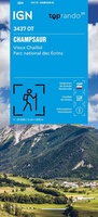 Wandelkaart 3437OT Champsaur / Vieux Chaillol / PNR des Ecrins | IGN - Institut Géographique National★★★★★
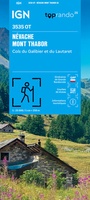 Wegenkaart - landkaart 3535OT Névache - Mont Thabor | IGN - Institut Géographique National★★★★★★★★★★
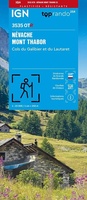 Wandelkaart 3535OTR Névache / Mont Thabor | IGN - Institut Géographique National★★★★★
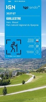 Wandelkaart 3537ET Guillestre | IGN - Institut Géographique National★★★★★
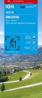 Wandelkaart 3537ETR Guillestre | IGN - Institut Géographique National★★★★★
Laatste reviews

Onmisbaar
Deze kaart is onmisbaar bij het wandelen in de Eifel, we lopen jaarlijks de Hermannsweg met een vergelijkbare kaart en we kunnen echt niet zonder, …
★★★★★ door R. van den Driesche 01 juli 2026 | Heeft dit artikel gekocht
Prima kaart doe vlot is geleverd.
Ideale kaart om als toerist door Jutland te trekken. Prettige schaal.
★★★★★ door Irma van Hof 01 juli 2026 | Heeft dit artikel gekocht
Prima wandelgidsen
Kompassboekjes zijn prima gidsen. Dat wordt een leuke vakantie.
★★★★★ door Anna 01 juli 2026 | Heeft dit artikel gekocht
Handig formaat en gedetailleerd
Perfecte wegenatlas en door het A4 formaat handiger dan een uitvouwbare kaart. Fijne combinatie van de wegenatlas en het navigatiesysteem van google maps
★★★★★ door Hay van Emden 30 juni 2026 | Heeft dit artikel gekocht