Winkelwagen
Geen items in winkelwagen
Ga naar winkelwagen
Kaarten - Picardie - Noordwest Frankrijk
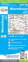 Wandelkaart - Topografische kaart 2303 SB - Serie Bleue Wormhout - Cassel - Watten | IGN - Institut Géographique National
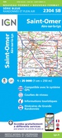 Wandelkaart - Topografische kaart 2304 SB - Serie Bleue Aire-Sur-La-Lys, St-Omer | IGN - Institut Géographique National
 Wandelkaart - Topografische kaart 2305 SB - Serie Bleue Lillers - Heuchin | IGN - Institut Géographique National
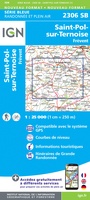 Wandelkaart - Topografische kaart 2306 SB - Serie Bleue Saint-Michel-Sur-Ternoise, Frévent | IGN - Institut Géographique National
 Wandelkaart - Topografische kaart 2307 SB - Serie Bleue Doullens - Beauval | IGN - Institut Géographique National★★★★★
 Wandelkaart - Topografische kaart 2308 SB - Serie Bleue Corbie - Amiens | IGN - Institut Géographique National
 Wandelkaart - Topografische kaart 2309 SB - Serie Bleue Moreuil - Saleux | IGN - Institut Géographique National
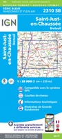 Wandelkaart - Topografische kaart 2310 SB - Serie Bleue Saint-Just-en-Chaussée , Breteuil | IGN - Institut Géographique National
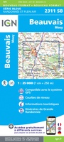 Wandelkaart - Topografische kaart 2311 SB - Serie Bleue Beauvais - Mouy | IGN - Institut Géographique National
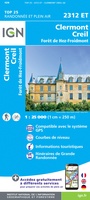 Wandelkaart - Topografische kaart 2312ET Clermont - Creil | IGN - Institut Géographique National
 Wandelkaart - Topografische kaart 2710 SB - Serie Bleue Sissonne - Laon | IGN - Institut Géographique National
 Wandelkaart - Topografische kaart 2806 SB - Serie Bleue Jeumont - Maubeuge | IGN - Institut Géographique National
 Wandelkaart - Topografische kaart 2808 SB - Serie Bleue Hirson - Fourmies | IGN - Institut Géographique National
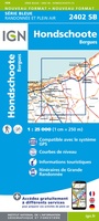 Wandelkaart - Topografische kaart 2402 SB - Serie Bleue Hondschoote - Bergues | IGN - Institut Géographique National
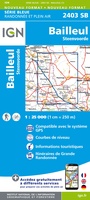 Wandelkaart - Topografische kaart 2403 SB - Serie Bleue Steenvoorde - Bailleul | IGN - Institut Géographique National
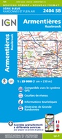 Wandelkaart - Topografische kaart 2404 SB - Serie Bleue Armentieres - Hazebrouck | IGN - Institut Géographique National
 Wandelkaart - Topografische kaart 2405 SB - Serie Bleue Lens - Béthune | IGN - Institut Géographique National
 Wandelkaart - Topografische kaart 2406 SB - Serie Bleue Arras, Avesnes-le-Comte | IGN - Institut Géographique National
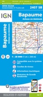 Wandelkaart - Topografische kaart 2407 SB - Serie Bleue Bapaume, Acheux-en-Amiénois | IGN - Institut Géographique National
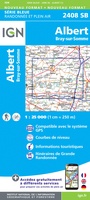 Wandelkaart - Topografische kaart 2408 SB - Serie Bleue Bray-sur-Somme, Albert | IGN - Institut Géographique National
Laatste reviews

Top gids met alle benodigde informatie.
Prachtige wandelgids voorzien van alle voor de wandelaars benodigde informatie (accommodaties, restaurants en cafés, vervoersmogelijkheden enz.). Ook is de gids beschreven in twee richtingen en …
★★★★★ door Mathie Hoenjet 27 juni 2026 | Heeft dit artikel gekocht
snel bezorgd
Zoals altijd duidelijke en overzichtelijke kaart van Michelin
★★★★★ door Charles Trippelvitz 26 juni 2026 | Heeft dit artikel gekocht
Het was heel leuk om de Vennbahn te fietsen aan de hand van deze handige gids!
Door deze gids konden we ons heel goed voorbereiden op onze fietstocht. En het gebruik onderweg was ook prima. Jammer dat de campings onderweg wat …
★★★★★ door Helma Feenstra 26 juni 2026 | Heeft dit artikel gekocht
Simpele keuze ondersteuning op website en hele snelle levering
Kort voor vakantie naar de Galapagos eilanden toch nog behoefte aan extra reisgids. Simpel kunnen bestellen en snelle levering. Zou niet weten wat er beter …
★★★★★ door Piet Grootenboer 25 juni 2026 | Heeft dit artikel gekocht