Winkelwagen
Geen items in winkelwagen
Ga naar winkelwagen
Kaarten - Haute-Garonne
 Wandelkaart - Topografische kaart 2244 SB - Serie Bleue Revel, St-Félix-Lauragais, Sorèze | IGN - Institut Géographique National
 Wegenkaart - landkaart 343 Ariege - Haute Garonne | Michelin★★★★★
 Wandelkaart 2042 SB - Serie Bleue Grenade - Verdun-sur-Garonne | IGN - Institut Géographique National
 Wandelkaart - Topografische kaart 2044 SB - Serie Bleue Muret, Saint Lys | IGN - Institut Géographique National
 Wandelkaart - Topografische kaart 2045 SB - Serie Bleue Lézat-sur-Lèze, Cazeres | IGN - Institut Géographique National
 Wandelkaart 2046 SB - Serie Bleue Le Mas-d'Azil | IGN - Institut Géographique National
 Wandelkaart 2047OT St-Girons / Couserans | IGN - Institut Géographique National
 Wandelkaart - Topografische kaart 2142 SB - Serie Bleue Villemur-sur-Tarn | IGN - Institut Géographique National
 Wandelkaart - Topografische kaart 2143 SB - Serie Bleue Montastruc-la-Conseillère, Lavaur | IGN - Institut Géographique National
 Wandelkaart - Topografische kaart 2144 SB - Serie Bleue Ramonville-Saint-Agne | IGN - Institut Géographique National
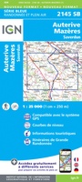 Wandelkaart - Topografische kaart 2145 SB - Serie Bleue Auterive - Mazères - Saverdun | IGN - Institut Géographique National
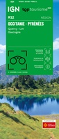 Wegenkaart - landkaart 12 TOP 250 Occitanie - Pyrénées - Quercy | IGN - Institut Géographique National
 Wegenkaart - landkaart 13 TOP 250 Occitanie - Cévennes - Languedoc - Roussillon | IGN - Institut Géographique National
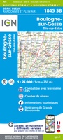 Wandelkaart - Topografische kaart 1845 SB - Serie Bleue Boulogne-sur-Gesse | IGN - Institut Géographique National
 Wandelkaart - Topografische kaart 1847OT Saint Bertrand de Comminges, Arreau | IGN - Institut Géographique National
 Wandelkaart - Topografische kaart 1848OT Bagnères de Luchon, | IGN - Institut Géographique National★★★★★
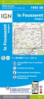 Wandelkaart - Topografische kaart 1945 SB - Serie Bleue Le Fousseret - Aurignac | IGN - Institut Géographique National
 Wandelkaart - Topografische kaart 1946 SB - Serie Bleue St-Gaudens, Salies-du-Salat | IGN - Institut Géographique National
 Wandelkaart - Topografische kaart 1947OT Aspet, Pic de Mauberme | IGN - Institut Géographique National★★★★★
 Wegenkaart - landkaart - Fietskaart D31 Top D100 Haute- Garonne | IGN - Institut Géographique National★★★★★
Laatste reviews

I.c.m. website een actuele basis
Dit boekje met beknopte omschrijving en de erin afgedrukte wandel(deel)kaarten vormen een prima basis voor het rondje Limburg. Je bent vrij om te bepalen waar …
★★★★★ door Greenline 29 december 2025 | Heeft dit artikel gekocht
Prima kaart
Snel geleverd en goede wandelkaart
★★★★★ door Rinske 29 december 2025 | Heeft dit artikel gekocht
Goede basis voor wandelvakantie.
De ervaring met KOMPASS kaart/gids is wederom positief. Om een wandelvakantie voor te bereiden is dit een perfecte combinatie. Door de hoogteprofielen welke zijn afgedrukt …
★★★★★ door Greenline 29 december 2025 | Heeft dit artikel gekocht
Mooi klein overzichtelijke kaart
Precies wat ik wilde en in een mooi mapje
★★★★★ door Mignon besselink 29 december 2025 | Heeft dit artikel gekocht