Winkelwagen
Geen items in winkelwagen
Ga naar winkelwagen
Kaarten - Ariège
 Wegenkaart - landkaart 343 Ariege - Haute Garonne | Michelin★★★★★
 Wandelkaart - Topografische kaart 2246 SB - Serie Bleue Mirepoix | IGN - Institut Géographique National
 Wandelkaart - Topografische kaart 2247OT Lavelanet, Chalabre, Montségur, Laroque-d'Olmes | IGN - Institut Géographique National
 Wandelkaart - Topografische kaart 2248ET Axat, Querigut | IGN - Institut Géographique National★★★★★
 Wandelkaart - Topografische kaart 2249ET Font Romeu, Capcir, Olette | IGN - Institut Géographique National★★★★★
 Wandelkaart - Topografische kaart 2249OT Bourg-Madame, Pic Carlit, Col de Puymorens, Port d'Envalira | IGN - Institut Géographique National★★★★★
 Wandelkaart - Topografische kaart 2045 SB - Serie Bleue Lézat-sur-Lèze, Cazeres | IGN - Institut Géographique National
 Wandelkaart 2046 SB - Serie Bleue Le Mas-d'Azil | IGN - Institut Géographique National
 Wandelkaart - Topografische kaart 2047ET Massat - Pic des Trois Seigneurs - PNR Pyr. Ariégeoises | IGN - Institut Géographique National
 Wandelkaart 2047OT St-Girons / Couserans | IGN - Institut Géographique National
 Wandelkaart - Topografische kaart 2048OT Aulus-les-Bains, Mont Valier | IGN - Institut Géographique National
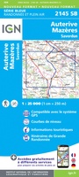 Wandelkaart - Topografische kaart 2145 SB - Serie Bleue Auterive - Mazères - Saverdun | IGN - Institut Géographique National
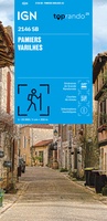 Wandelkaart 2146 SB - Serie Bleue Pamiers / Varilhes | IGN - Institut Géographique National
 Wandelkaart - Topografische kaart 2147ET Foix - Tarascon sur Ariege, Ussat, les Monts-d'Olmes | IGN - Institut Géographique National
 Wandelkaart 2148ET Ax-les-Thermes, Ussat, Les Cabannes, Ax-Bonascre | IGN - Institut Géographique National
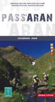 Wandelkaart Pass'Aran - Couserans - Aran | Editorial Alpina★★★★★
 Wegenkaart - landkaart 13 TOP 250 Occitanie - Cévennes - Languedoc - Roussillon | IGN - Institut Géographique National
 Topografische kaart 149 MT50 Salardú | CNIG - Instituto Geográfico Nacional1
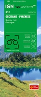 Wegenkaart - landkaart 12 TOP 250 Occitanie - Pyrénées - Quercy | IGN - Institut Géographique National
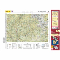 Topografische kaart 182 MT50 Rivera de Cardós | CNIG - Instituto Geográfico Nacional1
Laatste reviews

Uitstekend
Zeer vlotte levering. Prima ingepakt. Kaart voldoet aan de verwachtingen.
★★★★★ door John Gielen 20 maart 2026 | Heeft dit artikel gekocht
Prima artikel en snel afgeleverd
Prima artikel en snel afgeleverd!
★★★★★ door Cees veltman 20 maart 2026 | Heeft dit artikel gekocht
Perfect e kaart
Een mooie bruikbare kaart, goede kwaliteit papier.
★★★★★ door Ferry 20 maart 2026 | Heeft dit artikel gekocht
Prima wandelkaart
Zoals verwacht weer een prima wandelkaart en snelle levering
★★★★★ door Frank 19 maart 2026 | Heeft dit artikel gekocht