Winkelwagen
Geen items in winkelwagen
Ga naar winkelwagen
Ariège
 Wandelkaart - Topografische kaart 2246 SB - Serie Bleue Mirepoix | IGN - Institut Géographique National
 Wandelkaart - Topografische kaart 2247OT Lavelanet, Chalabre, Montségur, Laroque-d'Olmes | IGN - Institut Géographique National
 Wandelkaart - Topografische kaart 2248ET Axat, Querigut | IGN - Institut Géographique National★★★★★
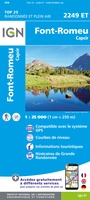 Wandelkaart - Topografische kaart 2249ET Font Romeu, Capcir, Olette | IGN - Institut Géographique National★★★★★
 Wandelkaart - Topografische kaart 2249OT Bourg-Madame, Pic Carlit, Col de Puymorens, Port d'Envalira | IGN - Institut Géographique National★★★★★
 Wandelkaart - Topografische kaart 2145 SB - Serie Bleue Auterive - Mazères - Saverdun | IGN - Institut Géographique National
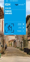 Wandelkaart 2146 SB - Serie Bleue Pamiers / Varilhes | IGN - Institut Géographique National
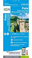 Wandelkaart 2147ET Foix | IGN - Institut Géographique National
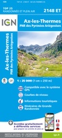 Wandelkaart 2148ET Ax-les-Thermes, Ussat, Les Cabannes, Ax-Bonascre | IGN - Institut Géographique National
 Wandelkaart 2148OT Vicdessos / Pique d'Estats / Pic du Montcalm | IGN - Institut Géographique National★★★★★
 Wandelkaart 2148OTR Vicdessos | IGN - Institut Géographique National
 Wandelgids 2 Ariège T2 Vallée Ariège&pays Olmes sentiers d' émilie | Rando Editions
 Wandelkaart - Topografische kaart 2045 SB - Serie Bleue Lézat-sur-Lèze, Cazeres | IGN - Institut Géographique National
 Wandelkaart 2046 SB - Serie Bleue Le Mas-d'Azil | IGN - Institut Géographique National
 Wandelkaart 2047OT St-Girons / Couserans | IGN - Institut Géographique National
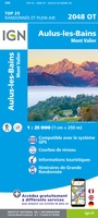 Wandelkaart - Topografische kaart 2048OT Aulus-les-Bains, Mont Valier | IGN - Institut Géographique National
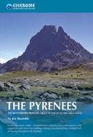 Wandelgids - Klimgids - Klettersteiggids The Pyrenees | Cicerone
 Wandelgids 1 Ariège sentiers émilie 25 promenades pour tous | Rando Editions
 Wegenkaart - landkaart 13 TOP 250 Occitanie - Cévennes - Languedoc - Roussillon | IGN - Institut Géographique National
 Wandelgids 0367 Le sentier Cathare GR367 | FFRP
Laatste reviews

Top gids met alle benodigde informatie.
Prachtige wandelgids voorzien van alle voor de wandelaars benodigde informatie (accommodaties, restaurants en cafés, vervoersmogelijkheden enz.). Ook is de gids beschreven in twee richtingen en …
★★★★★ door Mathie Hoenjet 27 juni 2026 | Heeft dit artikel gekocht
snel bezorgd
Zoals altijd duidelijke en overzichtelijke kaart van Michelin
★★★★★ door Charles Trippelvitz 26 juni 2026 | Heeft dit artikel gekocht
Het was heel leuk om de Vennbahn te fietsen aan de hand van deze handige gids!
Door deze gids konden we ons heel goed voorbereiden op onze fietstocht. En het gebruik onderweg was ook prima. Jammer dat de campings onderweg wat …
★★★★★ door Helma Feenstra 26 juni 2026 | Heeft dit artikel gekocht
Simpele keuze ondersteuning op website en hele snelle levering
Kort voor vakantie naar de Galapagos eilanden toch nog behoefte aan extra reisgids. Simpel kunnen bestellen en snelle levering. Zou niet weten wat er beter …
★★★★★ door Piet Grootenboer 25 juni 2026 | Heeft dit artikel gekocht