Winkelwagen
Geen items in winkelwagen
Ga naar winkelwagen
Kaarten - Aude
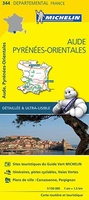 Wegenkaart - landkaart 344 Aude - Pyrenees Orientales | Michelin★★★★★
 Wandelkaart - Topografische kaart 2244 SB - Serie Bleue Revel, St-Félix-Lauragais, Sorèze | IGN - Institut Géographique National
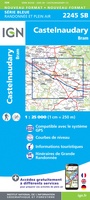 Wandelkaart - Topografische kaart 2245 SB - Serie Bleue Bram - Castelnaudary | IGN - Institut Géographique National
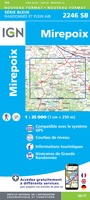 Wandelkaart - Topografische kaart 2246 SB - Serie Bleue Mirepoix | IGN - Institut Géographique National
 Wandelkaart - Topografische kaart 2247OT Lavelanet, Chalabre, Montségur, Laroque-d'Olmes | IGN - Institut Géographique National
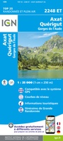 Wandelkaart - Topografische kaart 2248ET Axat, Querigut | IGN - Institut Géographique National★★★★★
 Wandelkaart - Topografische kaart 2345 SB - Serie Bleue Carcassonne - Alzonne | IGN - Institut Géographique National
 Wandelkaart - Topografische kaart 2346 SB - Serie Bleue Cazilhac - Limoux | IGN - Institut Géographique National
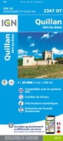 Wandelkaart - Topografische kaart 2347OT Quillan, Alet-les-Bains, Couiza, Rennes-les-Bains, Esperaza | IGN - Institut Géographique National
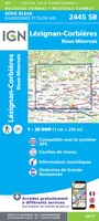 Wandelkaart - Topografische kaart 2445 SB - Serie Bleue Lézignan - Corbieres, Rieux-Minervois | IGN - Institut Géographique National
 Wandelkaart - Topografische kaart 2446 SB - Serie Bleue Ferrals-les-Corbières, Capendu | IGN - Institut Géographique National
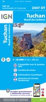 Wandelkaart - Topografische kaart 2447OT Tuchan | IGN - Institut Géographique National
 Wandelkaart - Topografische kaart 2448OT Thuir, Ille-sur-Tet, Latour-de-France, Estagel, Millas | IGN - Institut Géographique National
 Wandelkaart - Topografische kaart 2545OT St-Chinian - L'etang de Montady | IGN - Institut Géographique National
 Wandelkaart - Topografische kaart 2546OT Narbonne | IGN - Institut Géographique National
 Wandelkaart - Topografische kaart 2549OT Banyuls-sur-Mer | IGN - Institut Géographique National
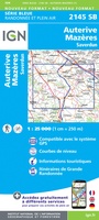 Wandelkaart - Topografische kaart 2145 SB - Serie Bleue Auterive - Mazères - Saverdun | IGN - Institut Géographique National
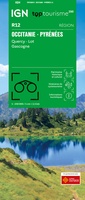 Wegenkaart - landkaart 12 TOP 250 Occitanie - Pyrénées - Quercy | IGN - Institut Géographique National
 Wegenkaart - landkaart 13 TOP 250 Occitanie - Cévennes - Languedoc - Roussillon | IGN - Institut Géographique National
 Wandelkaart 1117 SB - Serie Bleue Tinténiac / Caulnes | IGN - Institut Géographique National
Laatste reviews

Compact en toch volledig
Een compact boekje met 6 kaartjes van de voor een toerist belangrijkste Londense buurten met veel details en een overzicht van de metrolijnen. Super handig …
★★★★★ door Corine van der Hoeven 12 januari 2026 | Heeft dit artikel gekocht
Superleuk fiets boek
Erg blij met het boek onbegrensd fietsen naar Andalusië. We zijn ons nu aan het inlezen en krijgen enorm veel zin om te gaan. Er …
★★★★★ door Monique 12 januari 2026 | Heeft dit artikel gekocht
Compact gedetailleerd en overzichtelijk!
Heel blij met dit wandelgidsje. Mooie kaartjes, per etappe, ook restaurants en overnachting. Ideaal vooraf om te plannen en onderweg. Mooi compact!
★★★★★ door Peter 12 januari 2026 | Heeft dit artikel gekocht
Prima gids.
Gewoon handig boekje voor de info en planning. Route is heel goed gemarkeerd.
★★★★★ door Pieter 12 januari 2026 | Heeft dit artikel gekocht