Winkelwagen
Geen items in winkelwagen
Ga naar winkelwagen
Jura
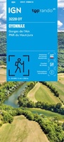 Wandelkaart 3228OT Oyonnax / Gorges de l'Ain / PNR Haut-Jura | IGN - Institut Géographique National
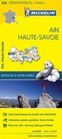 Wegenkaart - landkaart 328 Ain - Haute Savoie | Michelin★★★★★
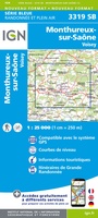 Wandelkaart - Topografische kaart 3319 SB - Serie Bleue Monthureux-sur-Saône - Voisey | IGN - Institut Géographique National
 Wandelkaart - Topografische kaart 3320 SB - Serie Bleue Jussey - Faverney | IGN - Institut Géographique National
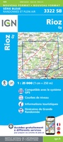 Wandelkaart - Topografische kaart 3322 SB - Serie Bleue Gy - Rioz | IGN - Institut Géographique National
 Wandelkaart - Topografische kaart 3323ET Besançon - Forêt de Chailluz | IGN - Institut Géographique National
 Wandelkaart - Topografische kaart 3324ET Arc-et-Senans | IGN - Institut Géographique National
 Wandelkaart 3325OT Arbois / Salins-les-Bains / Forêt Domaniale de la Joux | IGN - Institut Géographique National
 Wandelkaart - Topografische kaart 3326ET Champagnole | IGN - Institut Géographique National★★★★★
 Wandelkaart - Topografische kaart 3327ET Morez - les Rousses | IGN - Institut Géographique National★★★★★★★★★★
 Topografische kaart - Wandelkaart 3327OT St-Claude / Lac de Vouglans / PNR du Haut Jura | IGN - Institut Géographique National★★★★★
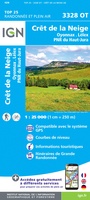 Wandelkaart - Topografische kaart 3328OT Crêt de la Neige | IGN - Institut Géographique National
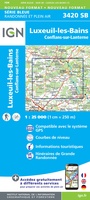 Wandelkaart - Topografische kaart 3420 SB - Serie Bleue Luxeuil-les-Bains, Conflans-sur-Lanterne | IGN - Institut Géographique National
 Wandelkaart - Topografische kaart 3421 SB - Serie Bleue Vesoul | IGN - Institut Géographique National
 Wandelkaart - Topografische kaart 3422 SB - Serie Bleue Baume-les-Dames | IGN - Institut Géographique National
 Wandelkaart - Topografische kaart 3125 SB - Serie Bleue Pierre-de-Bresse, St-Martin-de-Bresse | IGN - Institut Géographique National
 Wandelkaart - Topografische kaart 3128 SB - Serie Bleue Montrevel-en-Bresse, Marboz | IGN - Institut Géographique National
 Wandelkaart - Topografische kaart 3129 SB - Serie Bleue Bourg-en-Bresse | IGN - Institut Géographique National
 Wegenkaart - landkaart 321 Doubs - Jura | Michelin★★★★★
 Topografische kaart - Wandelkaart 3220 SB - Serie Bleue Fayl-Billot | IGN - Institut Géographique National★★★★★
- 1
- 2
- 3
- Volgende >>
- 5
Laatste reviews

Top gids met alle benodigde informatie.
Prachtige wandelgids voorzien van alle voor de wandelaars benodigde informatie (accommodaties, restaurants en cafés, vervoersmogelijkheden enz.). Ook is de gids beschreven in twee richtingen en …
★★★★★ door Mathie Hoenjet 27 juni 2026 | Heeft dit artikel gekocht
snel bezorgd
Zoals altijd duidelijke en overzichtelijke kaart van Michelin
★★★★★ door Charles Trippelvitz 26 juni 2026 | Heeft dit artikel gekocht
Het was heel leuk om de Vennbahn te fietsen aan de hand van deze handige gids!
Door deze gids konden we ons heel goed voorbereiden op onze fietstocht. En het gebruik onderweg was ook prima. Jammer dat de campings onderweg wat …
★★★★★ door Helma Feenstra 26 juni 2026 | Heeft dit artikel gekocht
Simpele keuze ondersteuning op website en hele snelle levering
Kort voor vakantie naar de Galapagos eilanden toch nog behoefte aan extra reisgids. Simpel kunnen bestellen en snelle levering. Zou niet weten wat er beter …
★★★★★ door Piet Grootenboer 25 juni 2026 | Heeft dit artikel gekocht