Winkelwagen
Geen items in winkelwagen
Ga naar winkelwagen
Bretagne
 Wandelkaart - Topografische kaart 0620ET Quimperlé, Pont-Aven, Tregunc, Bannalec, Clohars-Carnoët | IGN - Institut Géographique National★★★★★
 Wandelkaart - Topografische kaart 0714OT Perros-Guirec, Lannion, Trégastel-Plage, Trébeurden, Côte de Granit Rose | IGN - Institut Géographique National★★★★★
 Wandelkaart - Topografische kaart 0720ET Lorient - Ile de Groix | IGN - Institut Géographique National
 Topografische kaart - Wandelkaart 0814OT Paimpol | IGN - Institut Géographique National★★★★★★★★★★
 Wandelkaart - Topografische kaart 0820 SB - Serie Bleue Baud - Languidic | IGN - Institut Géographique National
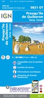 Wandelkaart - Topografische kaart 0821OT Presqu'Ile de Quiberon - Auray - Carnac Bretagne | IGN - Institut Géographique National
 Wandelkaart - Topografische kaart 0822OT Belle-Ile - Ile d'Houat et d'Hoëdic Bretagne | IGN - Institut Géographique National★★★★★
 Wandelkaart - Topografische kaart 0916ET Erquy - le Val-André | IGN - Institut Géographique National
 Wandelkaart - Topografische kaart 0916OT Saint-Brieuc | IGN - Institut Géographique National★★★★★
 Wandelkaart - Topografische kaart 0921OT Vannes | IGN - Institut Géographique National★★★★★
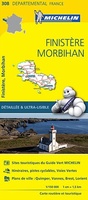 Wegenkaart - landkaart 308 Finistere - Morbihan (Bretagne) | Michelin★★★★★
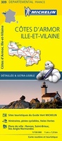 Wegenkaart - landkaart 309 Cotes d'Armor - Ille et Vilaine (Bretagne, Normandie) | Michelin★★★★★
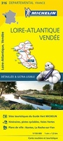 Wegenkaart - landkaart 316 Loire Atlantique - Vendee | Michelin★★★★★
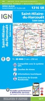 Wandelkaart - Topografische kaart 1316 SB - Serie Bleue St-Hilaire-du-Harcouët | IGN - Institut Géographique National
 Wandelkaart 1317 SB - Serie Bleue Fougères – St-Brice-en-Coglès | IGN - Institut Géographique National
 Wandelkaart - Topografische kaart 1318 SB - Serie Bleue Vitré - Châteaubourg | IGN - Institut Géographique National
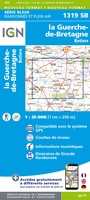 Wandelkaart - Topografische kaart 1319 SB - Serie Bleue La Guerche-de-Bretagne – Retiers | IGN - Institut Géographique National
 Wandelkaart - Topografische kaart 1320 SB - Serie Bleue Châteaubriant - Pouancé | IGN - Institut Géographique National
 Wandelkaart - Topografische kaart 1417 SB - Serie Bleue Ernée - Gorron | IGN - Institut Géographique National
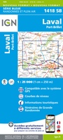 Wandelkaart - Topografische kaart 1418 SB - Serie Bleue Laval - Port-Brillet | IGN - Institut Géographique National★★★★★
- 1
- 2
- 3
- Volgende >>
- 10
Laatste reviews

Prima fietskaart
Ik denk dat ik met deze fietskaart prima uit de voeten kan. Maar dat weet ik pas na de zomer.
★★★★★ door Prins 27 maart 2026 | Heeft dit artikel gekocht
handzame praktische kaart
Heel handige set routekaartjes, gemakkelijk in je jaszak te doen, weerbestendig, veel detailinformatie.
★★★★★ door Marco van Schaik 26 maart 2026 | Heeft dit artikel gekocht
Onweerstaanbaar die OS-kaarten
De topografische kaarten van Ordnance Survey (OS Explorer) op schaal 1:25.000 zijn altijd een genot om mee te werken. Geen detail mist. En dan ook …
★★★★★ door Bert ter Horst 26 maart 2026 | Heeft dit artikel gekocht
Vertrouwd en blijvend actueel
De wegenkaart van West Australie is zeer aan te bevelen.
★★★★★ door Henk 25 maart 2026 | Heeft dit artikel gekocht