Wandelatlas - Wandelkaart King Charles III England Coast Path: North West - Lancashire & Merseyside Map Booklet | Cicerone (9781786310415)
- ISBN / CODE: 9781786310415
- Editie: 12-09-2025
- Druk: 1
- Aantal blz.: 80
- Uitgever: Cicerone
- Soort: Wandelatlas, Wandelkaart
- Taal: Engels
- Hoogte: 17.0 cm
- Breedte: 12.0 cm
- Gewicht: 120.0 g
- Bindwijze: Paperback
- Uitvoering: -
- Schrijf als eerste een review
-
€ 17,95
Op voorraad. Voor 17.00 uur op werkdagen besteld, morgen in huis in Nederland Levertijd Belgie
Gratis verzending in Nederland vanaf €35,-
Beschrijving
Van de uitgever
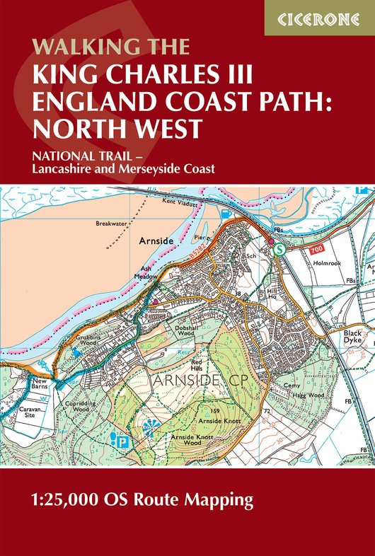
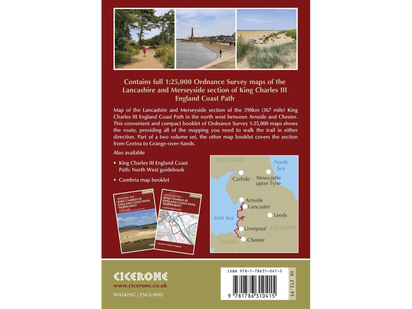
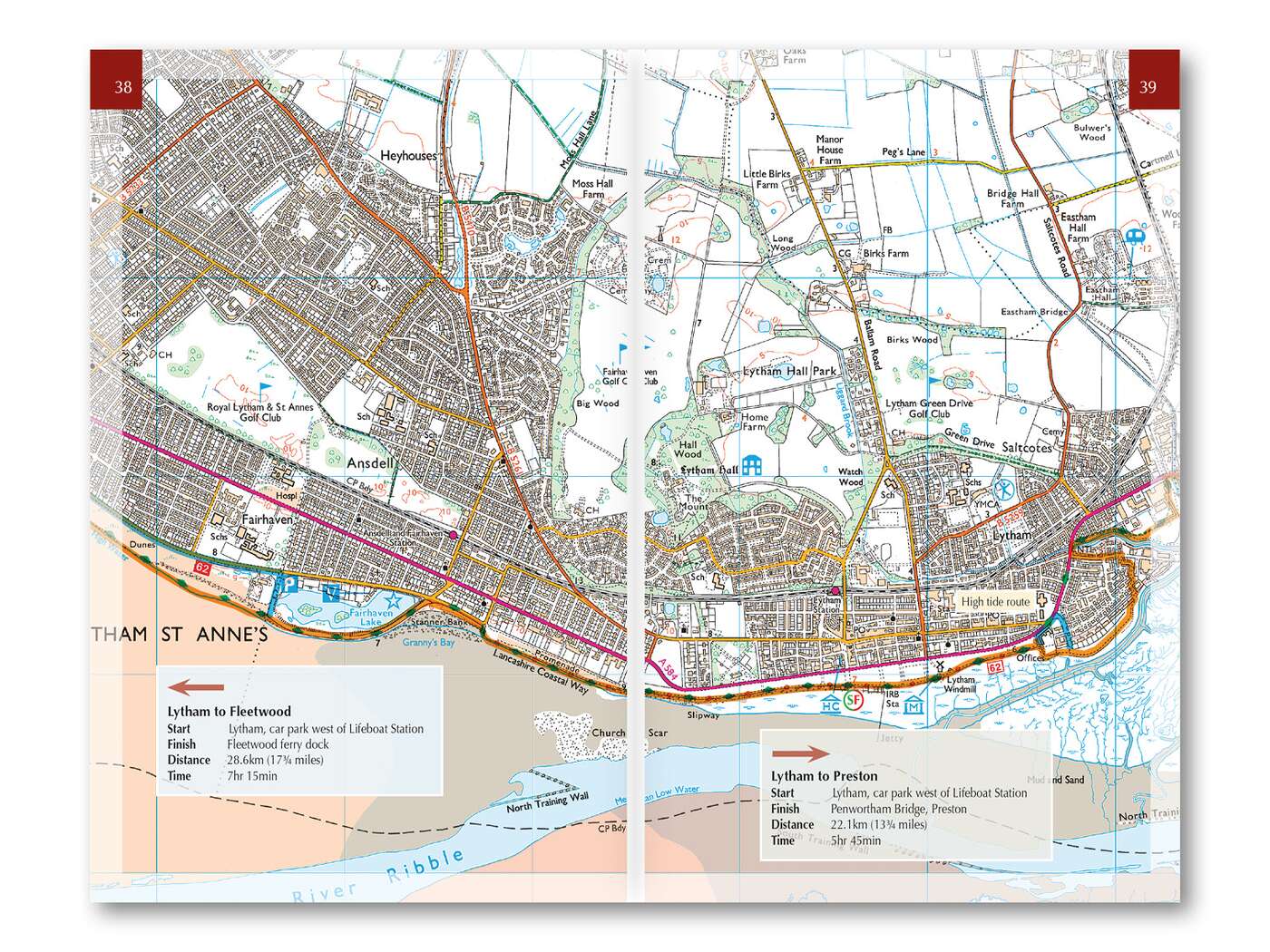
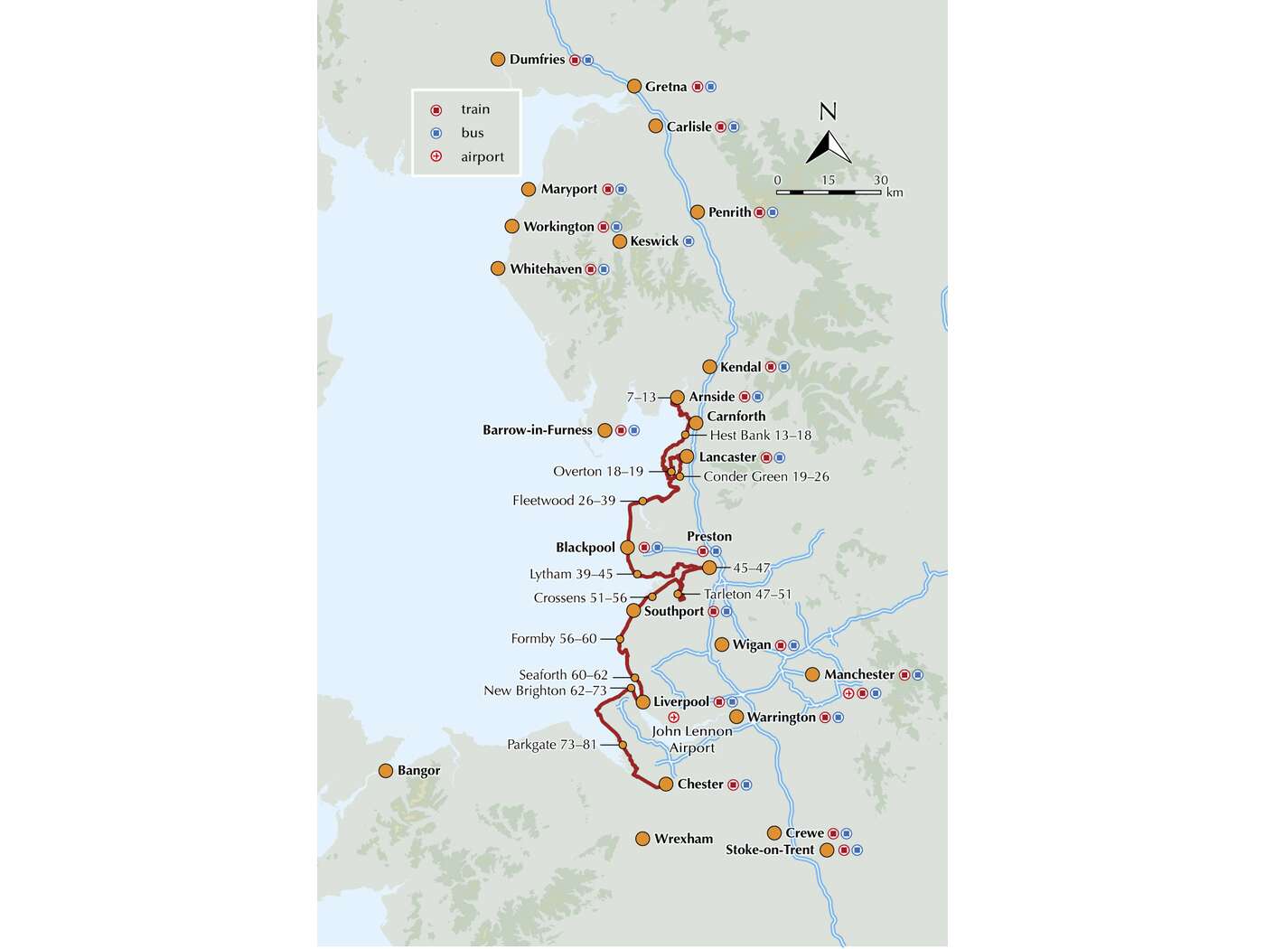
This map booklet to the Lancashire and Merseyside section of the England Coast Path contains detailed mapping for walking the route in either direction. With easy access at many points along the way, the Lancashire/Merseyside section can be enjoyed as a trek of around 12 days or in shorter sections.Full route shown on 1:25,000 OS maps
Map booklet can be used to walk the path in either direction
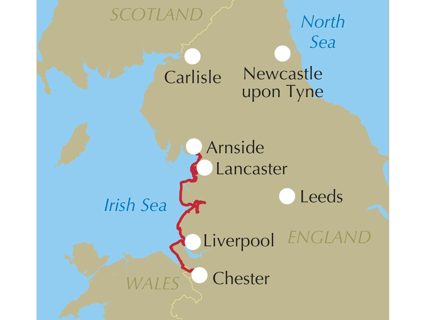
Covers the England Coast Path from Arnside to Chester
Conveniently sized for slipping into a jacket pocket or top of a rucksack
An accompanying Cicerone guidebook - Walking the England Coast Path: North West - is available separately
Reviews
Geen reviews gevonden voor dit product.
Schrijf een review
Graag horen wij wat u van dit artikel vindt. Vindt u het goed, leuk, mooi, slecht, lelijk, onbruikbaar of erg handig: schrijf gerust alles op! Het is niet alleen leuk om te doen maar u informeert andere klanten er ook nog mee!
Ook interessant voor europa/engeland/west-midlands
-

Wandelkaart - Topografische kaart 24
€ 19,50Topografische kaarten West Midlands -

Wandelkaart - Topografische kaart 14
€ 25,95Topografische kaarten West Midlands -

Wandelkaart - Topografische kaart 14
€ 25,95Topografische kaarten West Midlands -

Wandelgids 081 Pathfinder Guides Sta
€ 18,50Wandelgidsen West Midlands -

Wandelkaart - Topografische kaart 22
€ 19,50Topografische kaarten East Midlands