
Wandelgids Worcestershire | Cicerone (9781786312440)
Worcestershire Way and Malvern Hills
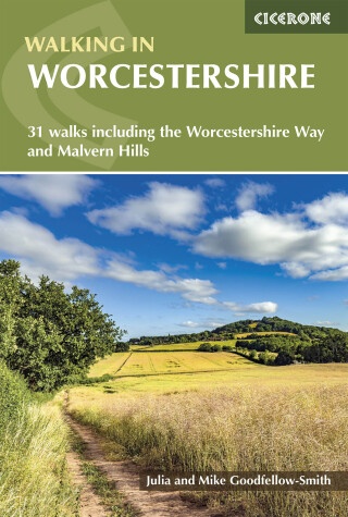
- ISBN / CODE: 9781786312440
- Editie: 23-07-2026
- Druk: 1
- Aantal blz.: 240
- Auteur(s): Mike Goodfellow-Smith, Julia Goodfellow-Smith
- Uitgever: Cicerone
- Soort: Wandelgids
- Taal: Engels
- Hoogte: 17.0 cm
- Breedte: 12.0 cm
- Gewicht: 261.0 g
- Bindwijze: Paperback
- Uitvoering: -
- Schrijf als eerste een review
-
€ 19,95
Leverbaar in 3 - 5 werkdagen in huis in Nederland Levertijd Belgie
Gratis verzending in Nederland vanaf €50,-
Beschrijving
Van de uitgever
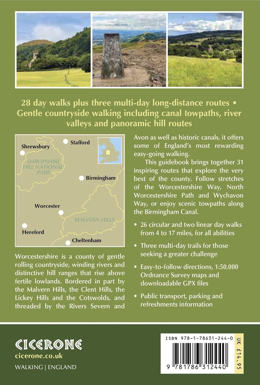
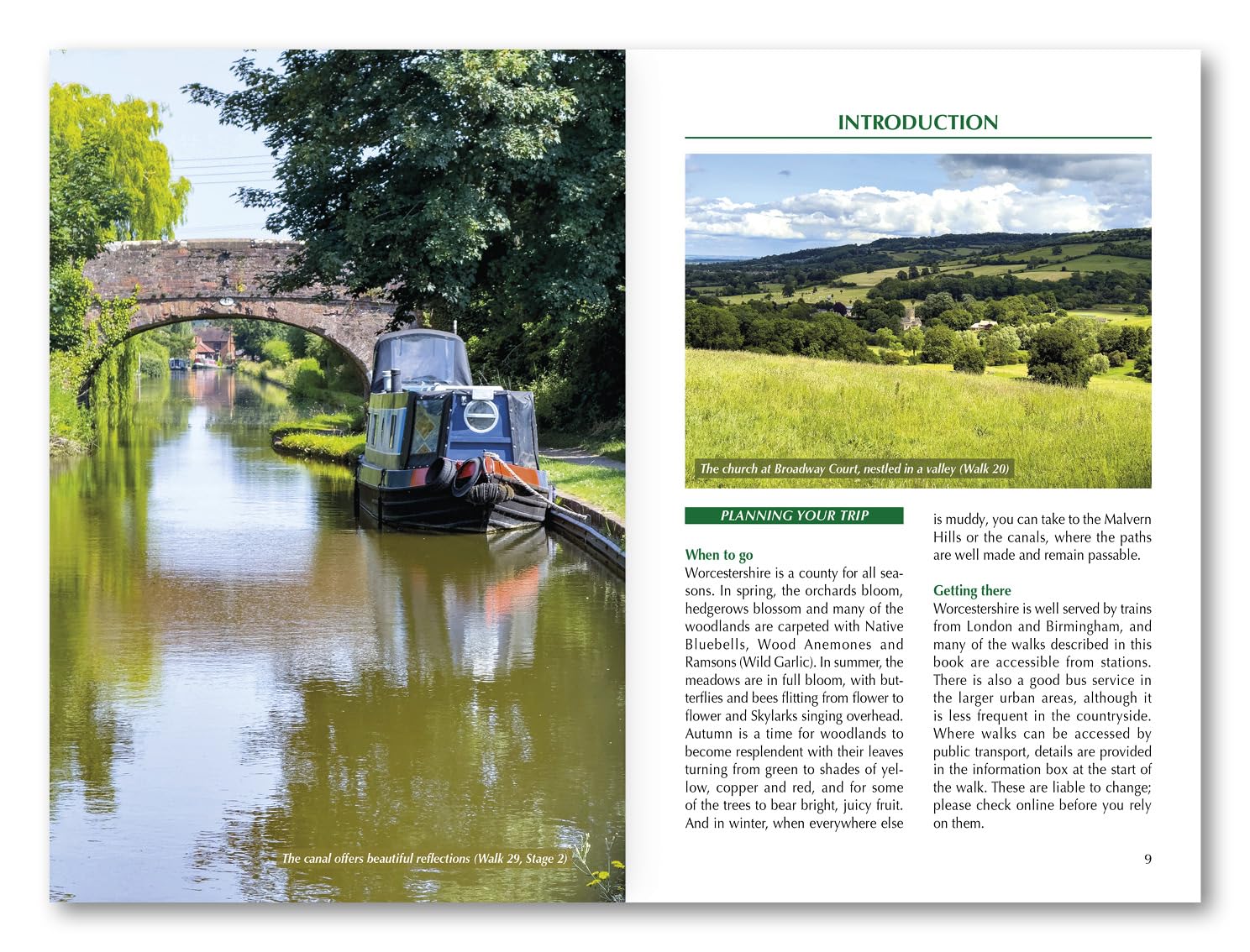
Worcestershire is a county of gentle rolling countryside, winding rivers and distinctive hill ranges that rise above fertile lowlands. Bordered in part by the Malvern Hills, the Clent Hills, the Lickey Hills and the Cotswolds, and threaded by the Rivers Severn and Avon as well as historic canals, it offers some of England’s most rewarding easy-going walking. From orchard country and hop fields to cathedral cities and quiet market towns, Worcestershire blends natural beauty with layers of history.
Walking in Worcestershire brings together 31 carefully chosen routes that explore the very best of the county. The guide includes 28 day walks from 4 to 17 miles, suitable for a wide range of abilities, plus three multi-day long-distance trails for those seeking a greater challenge. Walkers can follow stretches of the Worcestershire Way, explore sections of the North Worcestershire Path and Wychavon Way, or enjoy scenic towpaths along the Birmingham Canal. With bases such as Malvern, Upton, Worcester, Bewdley, Pershore and Evesham, Walking in Worcestershire makes it easy to plan rewarding outings with excellent accommodation and transport links close at hand.
Designed for all seasons, Walking in Worcestershire showcases landscapes that change beautifully throughout the year. Spring orchards burst into blossom and woodlands are carpeted with bluebells; summer meadows hum with wildlife; autumn paints the hills in copper and gold; and winter offers crisp, clear views from the Malverns and firm footing along canal towpaths when lower fields may be muddy. Alongside natural beauty, the routes in Walking in Worcestershire pass through historic towns such as Worcester and Evesham, notable for battles that shaped the nation, and visit abbeys, priories and churches that reflect the county’s rich heritage.
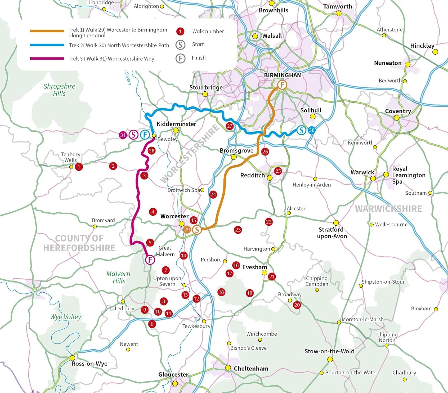
Most of the 28 day walks in Walking in Worcestershire are circular, making them straightforward to organise, while several linear options are included with convenient transport links. The three longer routes range from 49 to 60 miles and can be completed in up to four days each. These include:
A four-day canal journey from Worcester to central Birmingham, with suggested overnight stops in Droitwich, Bromsgrove and Alvechurch
The two-day North Worcestershire Path from Major’s Green to Bewdley
The two-day Worcestershire Way from Bewdley to Great Malvern
Each stage of these longer walks in Walking in Worcestershire can also be tackled as an individual day walk, with accommodation suggestions provided to help you tailor your itinerary.
This guidebook includes:
28 varied day walks featured in Walking in Worcestershire, ranging from 4 to 17 miles and designed to suit beginners, regular walkers and those seeking more challenging hill routes
Three multi-day challenge hikes in Walking in Worcestershire (49–60 miles), complete with accommodation guidance and options for combining stages into longer adventures
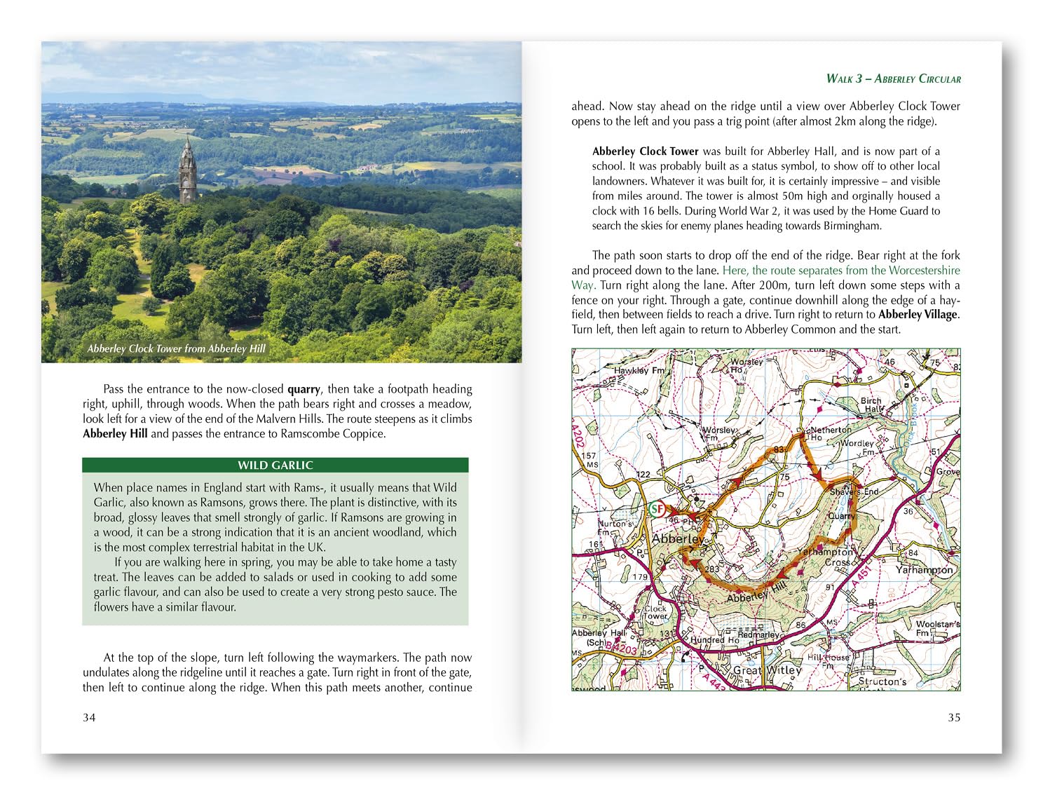
Clear, step-by-step route descriptions throughout Walking in Worcestershire, supported by 1:50,000 OS maps, ascent and descent figures, terrain notes and practical route warnings
Comprehensive coverage of Worcestershire’s key walking areas, including the Malvern Hills, Clent Hills, Lickey Hills, the Cotswolds and the Severn and Avon valleys
Public transport information for each walk in Walking in Worcestershire, plus guidance on road access and base locations in towns such as Malvern, Worcester and Evesham
Downloadable GPX files for all routes in Walking in Worcestershire, providing a reliable digital navigation option alongside the printed mapping
Whether you’re looking for gentle riverside strolls, panoramic ridge walks, wildlife-rich meadows or rewarding multi-day challenges, Walking in Worcestershire offers everything you need to explore the beauty, culture and character of this distinctive English county – in any season.
Walking in Worcestershire – Quick Facts
Guide name: Walking in Worcestershire – 31 Walks including the Worcestershire Way and Malvern Hills
Location: Worcestershire, England, covering the Malvern Hills, Severn and Avon valleys, Clent and Lickey Hills, and the northern Cotswolds.
Routes covered: 28 circular and linear day walks plus 3 multi-day long-distance routes.
Distance range: Day walks range from 4–17 miles (6–27 km), while the multi-day routes cover 49–60 miles (79–97 km).
Typical duration: Day walks take between 2 and 8 hours; the longer routes can be completed in 2–4 days.
Walk type: Gentle countryside walking including canal towpaths, river valleys and panoramic hill routes, with sections of the Worcestershire Way.
Navigation: Step-by-step route descriptions supported by 1:50,000 OS mapping and downloadable GPX files.
Difficulty: Easy to moderate, suitable for a wide range of walking abilities.
Best season: Suitable for year-round walking, with hills and towpaths remaining accessible in winter.
Accommodation: A wide choice of accommodation in Malvern, Worcester, Upton, Bewdley, Pershore and Evesham, with guidance included for multi-day routes.
Reviews
Geen reviews gevonden voor dit product.
Schrijf een review
Graag horen wij wat u van dit artikel vindt. Vindt u het goed, leuk, mooi, slecht, lelijk, onbruikbaar of erg handig: schrijf gerust alles op! Het is niet alleen leuk om te doen maar u informeert andere klanten er ook nog mee!
Ook interessant voor europa/engeland/west-midlands
-

Wandelgids 032 Pathfinder Short Walk
€ 11,95Wandelgidsen West Midlands -

Wandelkaart - Topografische kaart 20
€ 26,95Topografische kaarten West Midlands -

Wandelkaart - Topografische kaart 24
€ 20,95Topografische kaarten East Midlands -

Wandelkaart - Topografische kaart 25
€ 26,95Topografische kaarten West Midlands -

Wandelkaart - Topografische kaart 22
€ 20,95Topografische kaarten East Midlands