Wandelatlas Adventure Atlas Offa's Dyke Path | A-Z Map Company (9781782571667)
- ISBN / CODE: 9781782571667
- Editie: 2017
- Aantal blz.: 72
- Schaal: 1:25000
- Uitgever: A-Z Map Company
- Soort: Wandelatlas
- Serie: Adventure Atlas
- Taal: Engels
- Uitvoering: -
- Bindwijze: -
- Schrijf als eerste een review
-
€ 12,95
Uitverkocht, nooit meer leverbaar
-
Overzicht National trails AZ Adventure Atlas
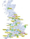
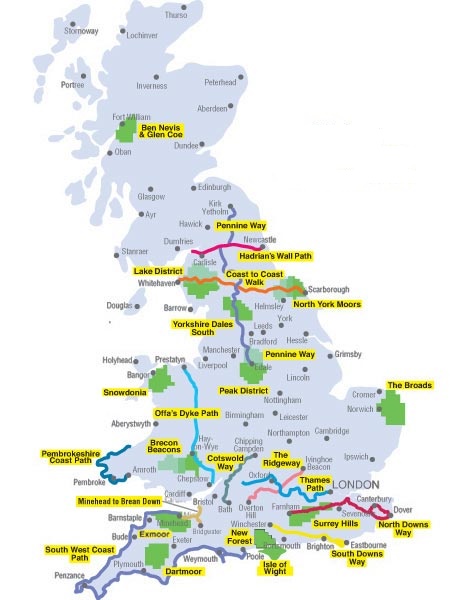
Producten op deze overzichtskaart:
Klik op een product om naar de pagina van dat product te gaan.
- Wandelatlas 1 Adventure Atlas South West Coast Path North Devon & Somerset | A-Z Map Company
- Wandelatlas 2 Adventure Atlas South West Coast Path North Cornwall | A-Z Map Company
- Wandelatlas 3 Adventure Atlas South West Coast Path South Cornwall | A-Z Map Company
- Wandelatlas 4 Adventure Atlas South West Coast Path South Devon | A-Z Map Company
- Wandelatlas 5 Adventure Atlas South West Coast Path - Dorset | A-Z Map Company
- Wandelkaart - Wandelatlas Adventure Atlas Hadrian's Wall Path | A-Z Map Company
- Wandelatlas Adventure Atlas Lake District | A-Z Map Company
- Wandelatlas Adventure Atlas Minehead to Brean Down - England Coast Path | A-Z Map Company
- Wandelatlas Adventure Atlas South Downs Way | A-Z Map Company
- Wandelatlas Adventure Atlas Thames Path | A-Z Map Company
Overzichtskaarten
Beschrijving
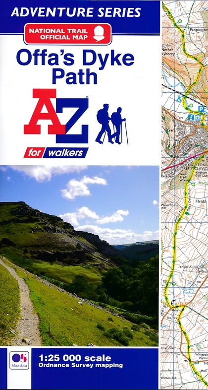
AZ heeft de meest gedetailleerde wandelkaarten van het Offa's Dyke Path gebundeld in een atlasje. Daardoor is het heel handig qua formaat. De kaarten zelf zijn perfect voor het wandelen. Schaal 1:25.000
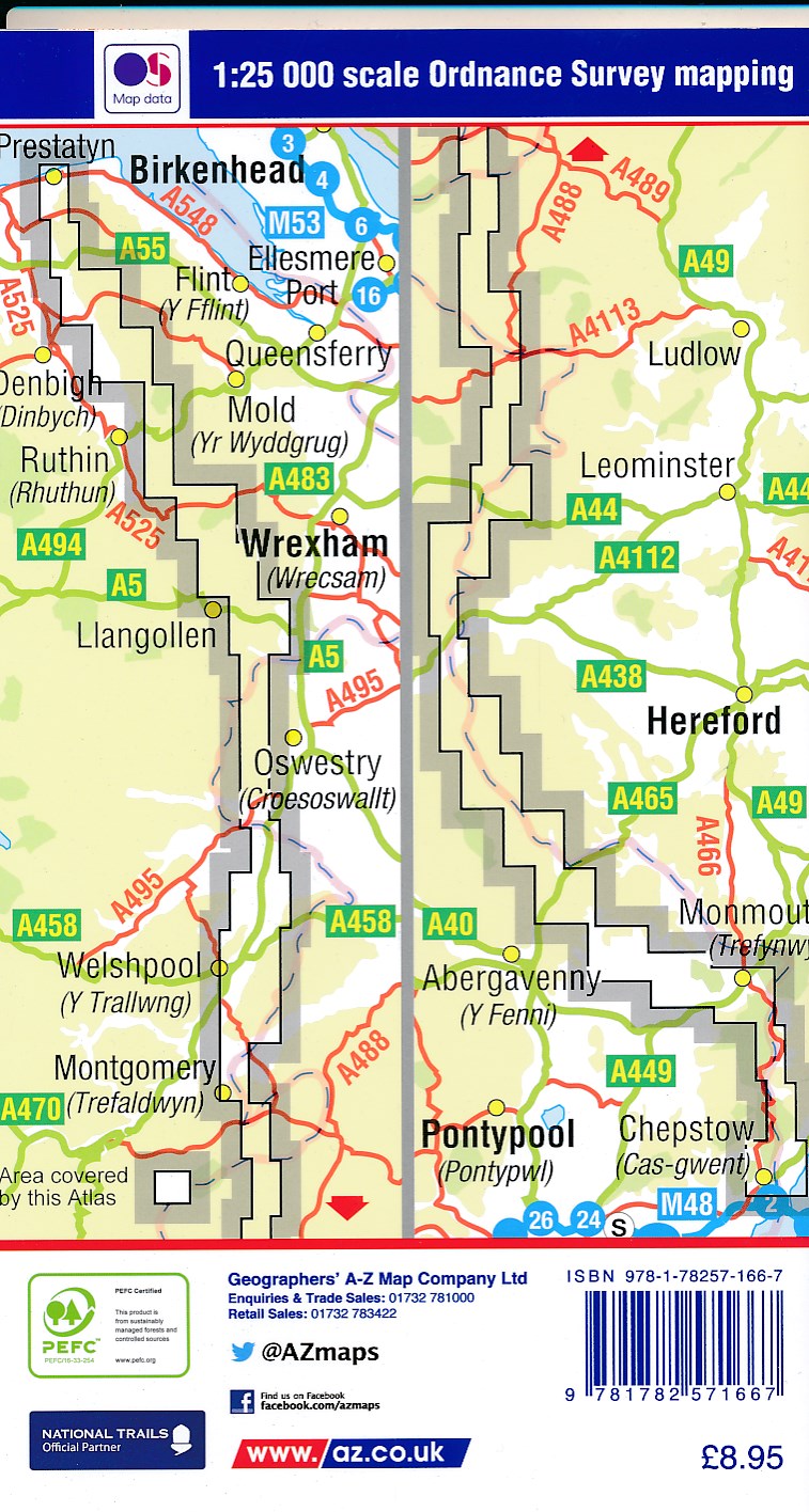
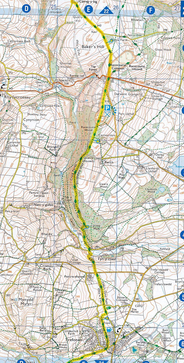
The A-Z Adventure Series of maps combines the best of OS and A-Z, creating the perfect companion for walkers, off-road cyclists, horse riders and anyone wishing to explore the great outdoors. Offa's Dyke Path is a National Trail skirting the English/Welsh border. The 177 mile (285km) path is named after, and often follows, the spectacular 8th century Offa's Dyke. The trail links Sedbury Cliffs near Chepstow with the coastal town of Prestatyn, crossing the border over 20 times along the way. The route on the map is clearly highlighted in yellow with mileage markers to gauge distances when planning sections of the walk to enjoy. This official National Trail Map of Offa's Dyke Path features 52 pages of continuous Ordnance Survey Explorer mapping, providing complete coverage of the Offa's Dyke Path. The atlas includes a route planner showing distances between places and the amenities available, featuring: Information Centres, Hotels/B&Bs, Youth Hostels, Campsites (seasonal opening), Public Houses, Shops, Restaurants, Cafes (seasonal opening) and Petrol Stations. Also featured is advice on safety and security when walking and a selection of QR codes linked to useful websites, including temporary route updates from the National Trails, regional information, map reading advice and weather reports. Unlike the original OS sheets, this A-Z Adventure Atlas includes a comprehensive index to towns, villages, hamlets and locations, natural features, nature reserves, car parks and youth hostels, making it easy to find the required location quickly. Each index entry has a page reference and a six figure National Grid Reference. With a book size of 240mm x 134mm it is the same size as a standard OS Explorer map when closed. Other National Trails available within the A-Z Adventure series include: Cotswold Way, Hadrian's Wall Path, North Downs Way, Pembrokeshire Coast Path, Pennine Way, South Downs Way, SW Coast Path, Thames Path and The Ridgeway. A-Z is the official mapping partner of the National Trails. Ordnance Survey Explorer mapping is published at a scale of 1:25 000.
Reviews
Geen reviews gevonden voor dit product.
Schrijf een review
Graag horen wij wat u van dit artikel vindt. Vindt u het goed, leuk, mooi, slecht, lelijk, onbruikbaar of erg handig: schrijf gerust alles op! Het is niet alleen leuk om te doen maar u informeert andere klanten er ook nog mee!
Ook interessant voor europa/engeland/wales
-

Fietsgids Bikepacking – Mountain Bik
€ 26,50Fietsgidsen Wales -

Wandelkaart - Topografische kaart 23
€ 26,95Topografische kaarten Wales -

Wandelkaart - Topografische kaart 24
€ 26,95Topografische kaarten Wales -

Wandkaart 20667 Engeland en Wales, a
€ 25,95Wandkaarten van landen Wales -

Wandelkaart - Topografische kaart 26
€ 26,95Topografische kaarten Wales