Mandje Tel: +31503126950 Menu
Winkelwagen
Geen items in winkelwagen
Ga naar winkelwagen

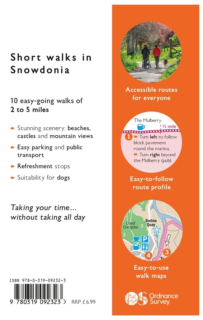
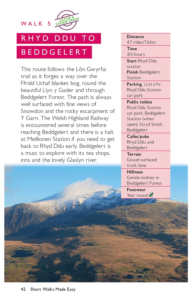
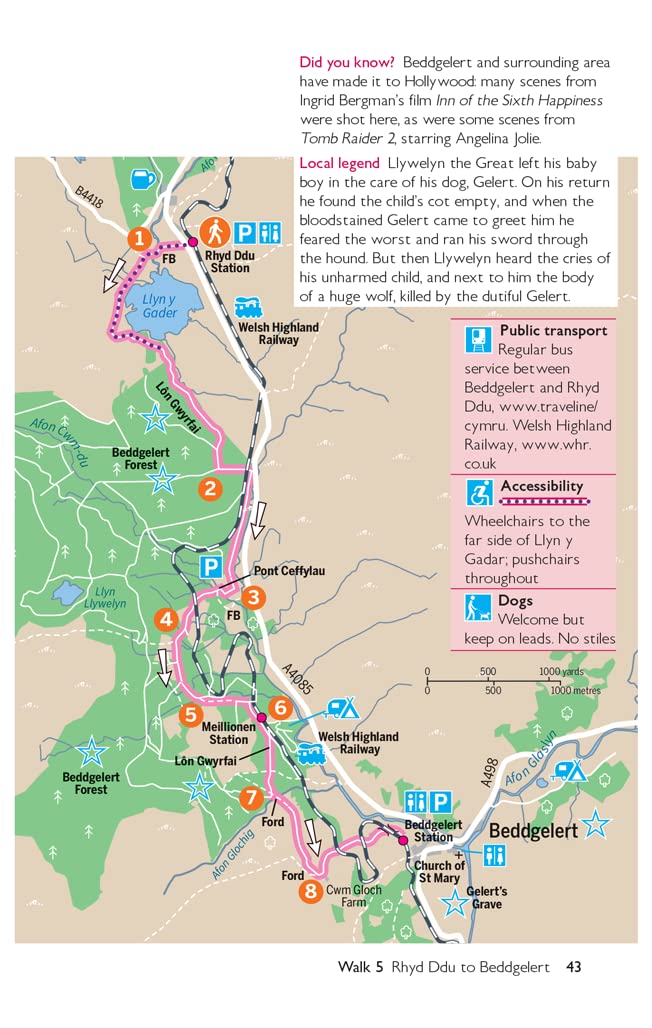
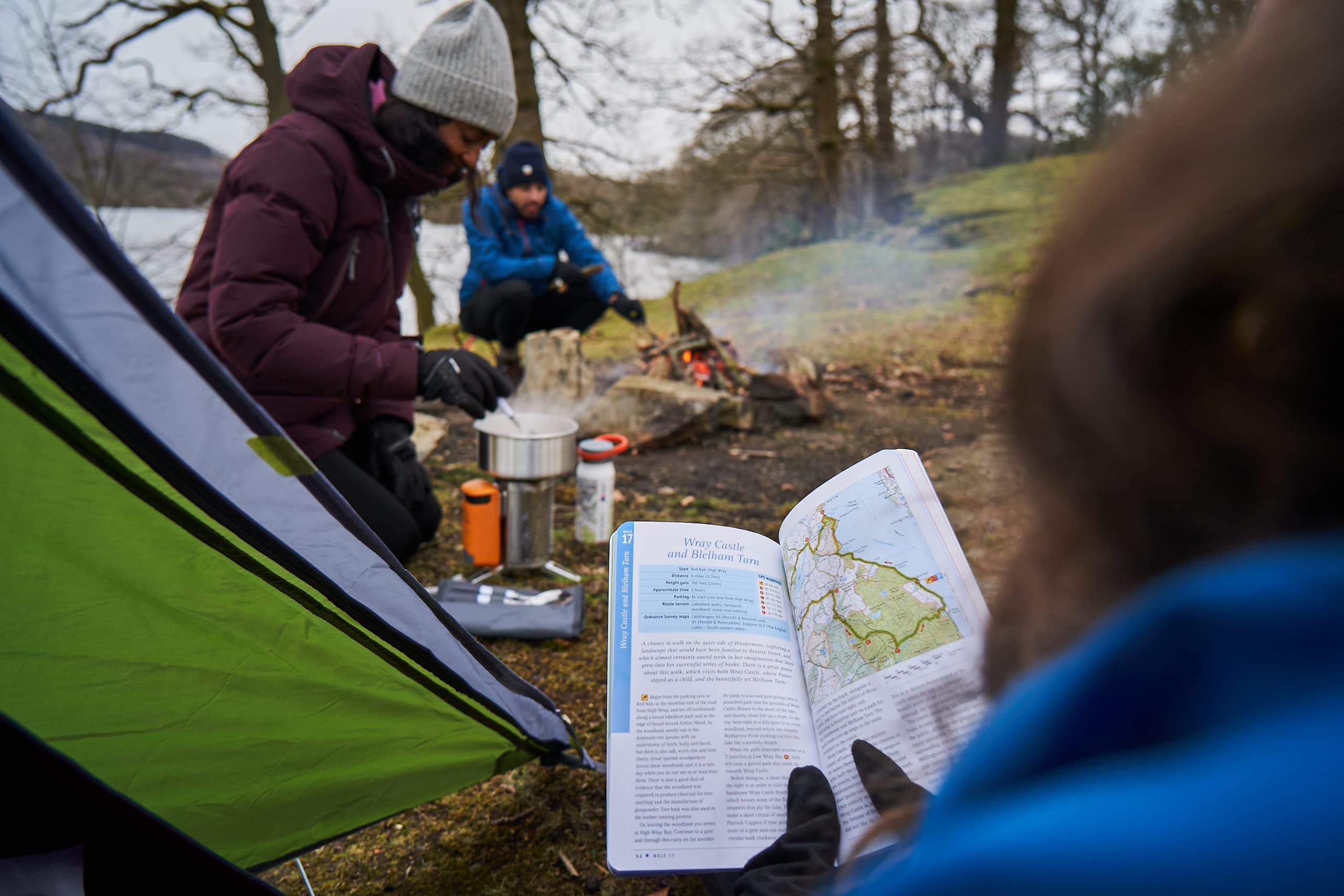
Wandelgids Snowdonia | Ordnance Survey (9780319092323)

10 Leisurely Walks

  • ISBN / CODE: 9780319092323
  • Editie: 2022
  • Aantal blz.: 80
  • Uitgever: Ordnance Survey
  • Soort: Wandelgids
  • Serie: Short Walks Made Easy
  • Taal: Engels
  • Hoogte: 23.3 cm
  • Breedte: 15.5 cm
  • Dikte: 2.4 cm
  • Bindwijze: Paperback
  • Uitvoering: -
  • Schrijf als eerste een review
  • 10,95

    Dit artikel is (tijdelijk) niet leverbaar Dit artikel is (tijdelijk) niet leverbaar

Beschrijving

Everybody can explore Snowdonia, from England and Wales’ highest mountain to magical medieval castles and the spectacular Conwy coastline, with these accessible, family-friendly walks. Get outside and active with the whole family amidst the mysterious legends and natural beauty of Snowdonia.
 
Snowdonia Short Walks Made Easy include:
 
- Take Victorian tramcars or the chairlift to the summit of the Great Orme, then wander wildflower-rich meadows for incredible views of the mountains, the sea and the Isle of Anglesey
- Follow the Lôn Gwyrfai trail round beautiful Llyn y Gader through Beddgelert Forest to the lovely village, with views of Snowdon and Y Garn throughout
- Get off the beaten track in the valley of Cwm Penamnen with views of the cliffs of Moel Sabod and the 13th-century Dolwyddelan castle
- Discover Porthmadog on a fascinating walk over Borth-y-Gest headland, the ingenious Cob and the salt marshes home to many seabirds
- Explore Dolgellau and the riverside walk to Penmaenpool along the Mawddach Trail
- Stroll through idyllic lakeside woods at Llyn Mair, listening out for the steam trains and glimpsing beautiful views of the Vale of Ffestiniog
 
OS Pathfinder Guides: Short Walks Made Easy:
 
- 10 accessible walks suitable for the whole family
- All routes are between 2 to 5 miles and can be completed all year round
- Know what to expect before you go: Information on locations of cafes/pubs and toilets, terrain, hilliness and accessibility for pushchairs and wheelchairs
- Large-scale Ordnance Survey maps for ultra-easy navigation and route-finding, featuring intuitive pictorial symbols
- Numbered points which tie maps to route descriptions and walk profiles
- Route photographs for each numbered point so you know exactly where you’re going
- Discover GPS waypoints, parking information and detailed route descriptions for foolproof navigation
- Enhance your adventure with stories behind each walk and nature notes
- Get active outside and enjoy the physical and mental health benefits

Reviews

Geen reviews gevonden voor dit product.

Schrijf een review

Graag horen wij wat u van dit artikel vindt. Vindt u het goed, leuk, mooi, slecht, lelijk, onbruikbaar of erg handig: schrijf gerust alles op! Het is niet alleen leuk om te doen maar u informeert andere klanten er ook nog mee!