Mandje Tel: +31503126950 Menu
Winkelwagen
Geen items in winkelwagen
Ga naar winkelwagen

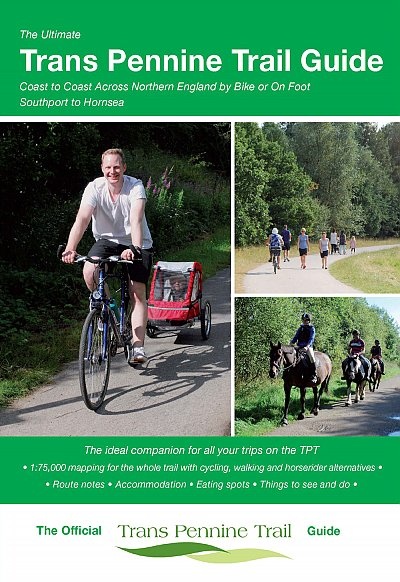
Fietsgids The Ultimate Trans Pennine Trail Guide | Excellent Books (9781901464368)

  • ISBN / CODE: 9781901464368
  • Editie: 2017
  • Aantal blz.: 152
  • Auteur(s): Richard Peace
  • Uitgever: Excellent Books
  • Soort: Fietsgids
  • Taal: Engels
  • Bindwijze: RIngband
  • Uitvoering: -
  • Schrijf als eerste een review
  • 13,95

    Op voorraad. Binnen 2 - 3 werkdagen in huis in Belgie Levertijd Nederland Voor 17.00 uur op werkdagen besteld, morgen in huis in Nederland Levertijd Belgie

    Gratis verzending in Nederland vanaf €35,-

Beschrijving

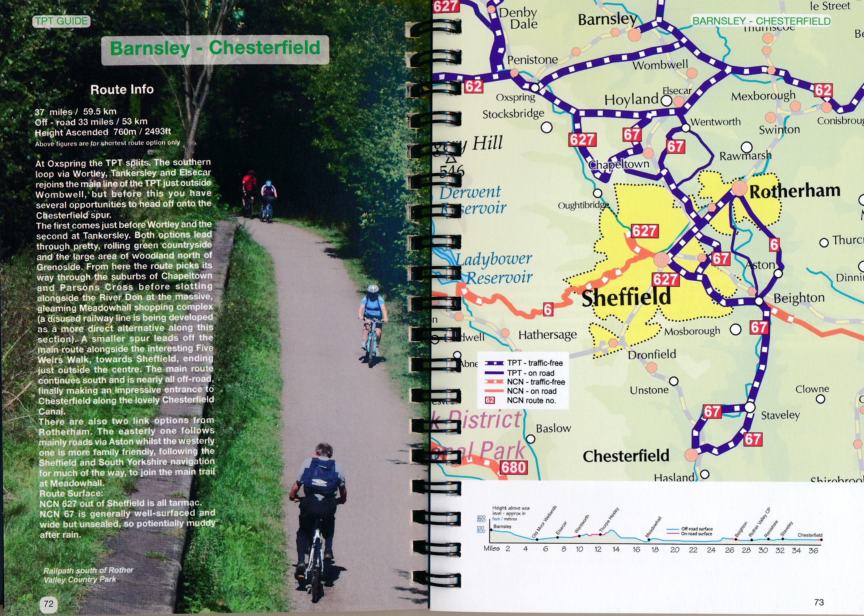
Gidsboek voor de Trans Pennine Trail met spiraalbinding, inclusief kaarten, hoogtegrafieken en verblijfsmogelijkheden.

The Trans Pennine Trail guide book covers the hugely popular 370 miles (595km) of trail across the north of England is a big favourite with walkers and cyclists, with many sections available for horse-riders and wheelchair users.
 
The trail is suitable for users of all ages and abilities due to its easy gradients and traffic free conditions. This guide is packed with full colour maps, trail info and photos, making it perfect for planning and use along the way.
 
Plan a scenic walk or bike ride, perhaps through the Pennines themselves, with its many pretty villages, museums and other visitor attractions along the way, very often with the possibility of a train return.
 
For weekend or longer breaks on the trail you can select something from the wide range of accommodation in the guide, from the simple to the stylish and the quirky to the budget.
 
Or, plan your leisurely day out with the kids, maybe combining a canal side walk or ride with a visit to a stately home. There’s also the ultimate challenge of a coast to coast walk or cycle ride stretching 215 miles (346km) from Southport to Hornsea. Whatever your choice, the Ultimate Trans Pennine Trail Guide can help.
 
This brand new guide features:
* Detailed full colour 1:75,000 mapping showing route options for cyclists, walkers and horse-riders.
* Street-level mapping for main towns and cities along the way, including: Southport, Liverpool, Widnes, Stockport, Penistone, Doncaster, Chesterfield, Sheffield, Leeds, Selby, Hull and Hornsea.
* Numerous colour images.
* Route navigation notes.
* Sleeping, eating and sightseeing suggestions cross-referenced to the mapping.


Reviews

Geen reviews gevonden voor dit product.

Schrijf een review

Graag horen wij wat u van dit artikel vindt. Vindt u het goed, leuk, mooi, slecht, lelijk, onbruikbaar of erg handig: schrijf gerust alles op! Het is niet alleen leuk om te doen maar u informeert andere klanten er ook nog mee!