Wandelatlas Hadrian's Wall Path map booklet | Rucksack Readers (9781913817350)
- ISBN / CODE: 9781913817350
- Editie: 01-11-2025
- Aantal blz.: 40
- Schaal: 1:100000
- Auteur(s): Jacquetta Megarry
- Uitgever: Rucksack Readers
- Soort: Wandelatlas
- Taal: Engels
- Hoogte: 22.0 cm
- Breedte: 15.0 cm
- Gewicht: 45.0 g
- Bindwijze: Ringband
- Uitvoering: Scheur- en watervast
- Schrijf als eerste een review
-
€ 17,95
Op voorraad. Voor 17.00 uur op werkdagen besteld, morgen in huis in Nederland Levertijd Belgie
Gratis verzending in Nederland vanaf €35,-
Beschrijving
Van de uitgever
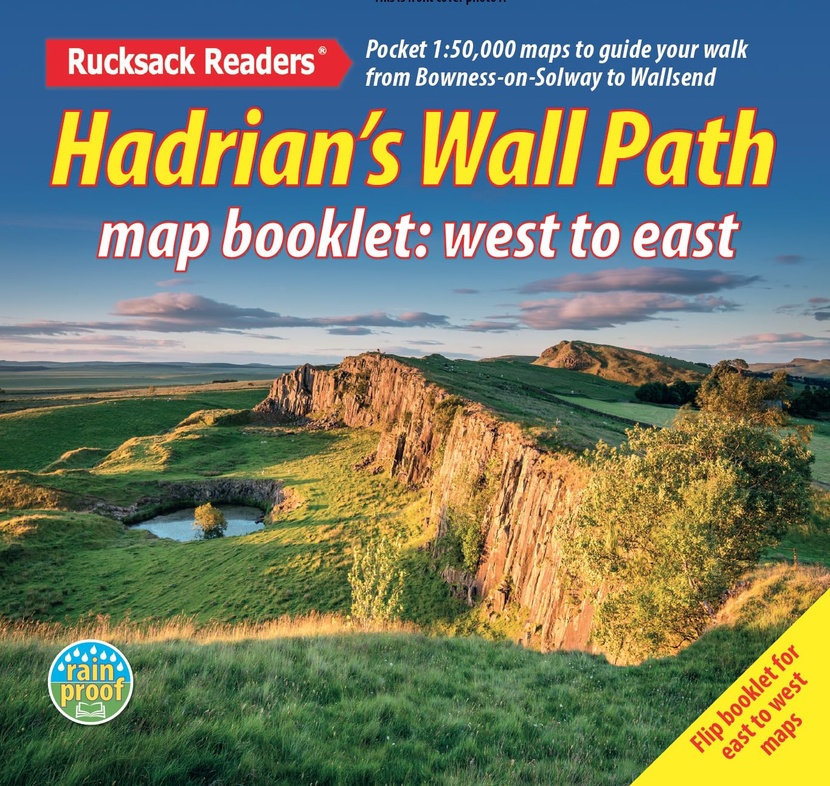
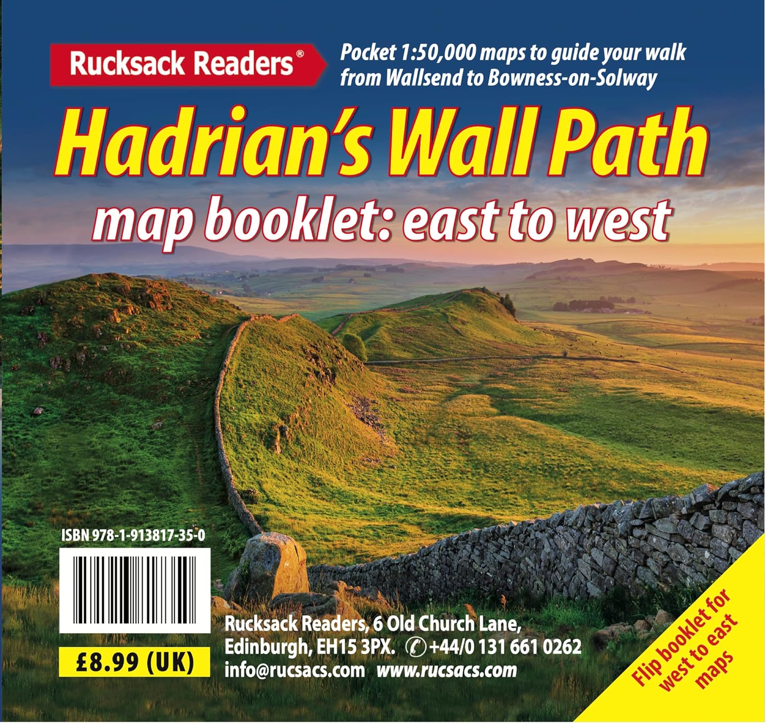
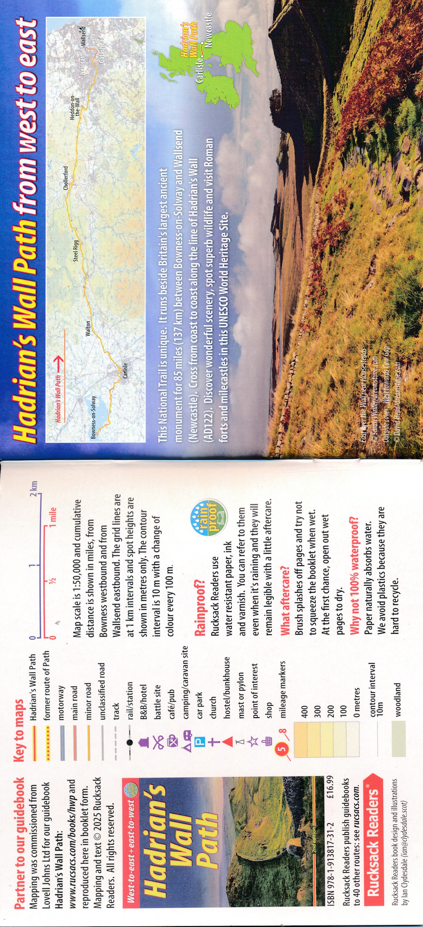
Hadrian's Wall Path is a superb National Trail that runs for 85 miles ( 137km) beside the Roman wall between the Solway Firth and the North Sea near Newcastle. Experts can't agree whether it's better to walk it from west to east or vice versa, so this booklet uniquely does both: just flip it to reverse the direction with miles correctly numbered from 0 to 85. This Booklet helps you to enjoy this classic walk in either direction or in both:- route rewalked and updated in 2025
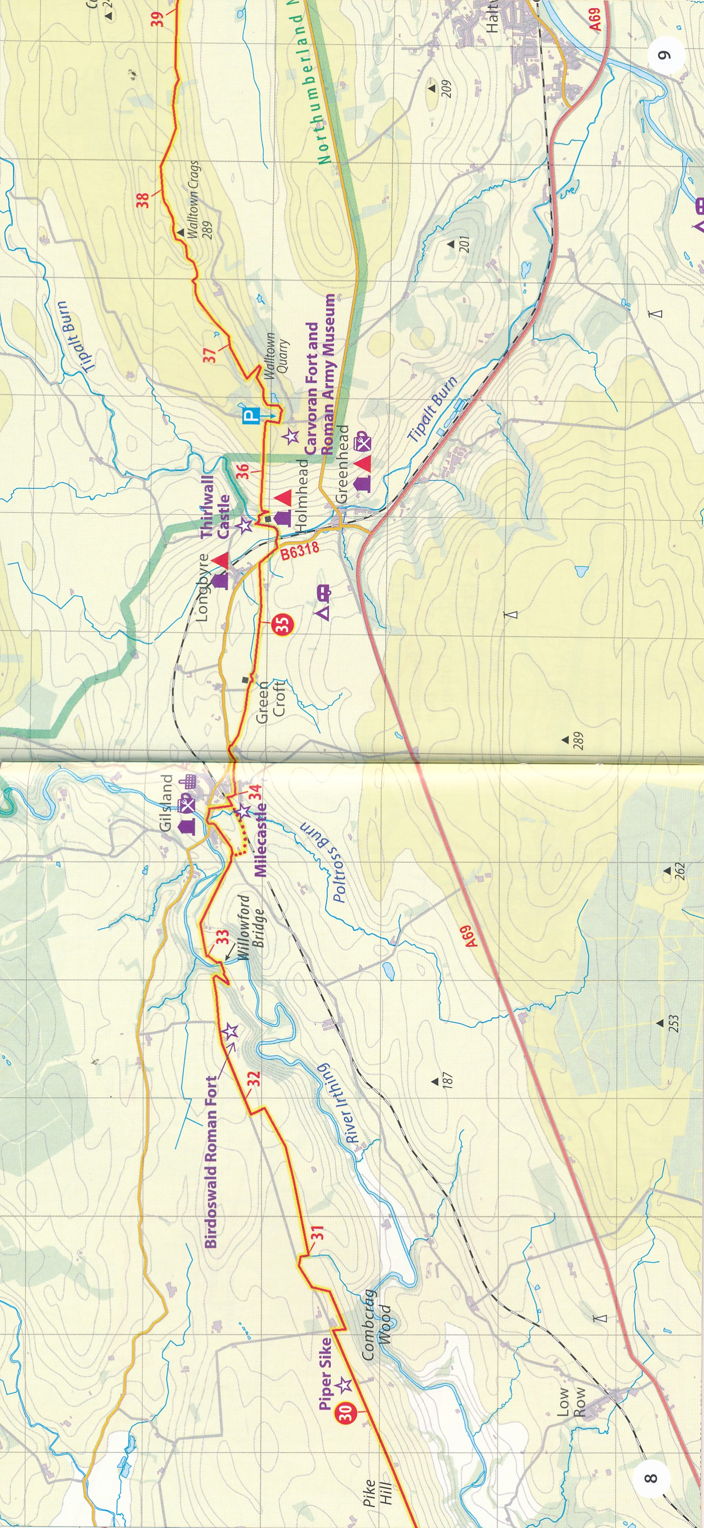
- route line more accurate than OS mapping and the offical website
- two booklets in ons, west - to - east and east - to - west
- custom, clear mappint at 1:50 000: no irrelevant clutter
- forts, milecastles and visitor centres shown
- includes city centre plans for Carlisle and Newcastle upon Tyne
- lightweight (50 grams) and small enough to slip in your pocket
- robust, opens flat and printed on rainproof paper.
Reviews
Geen reviews gevonden voor dit product.
Schrijf een review
Graag horen wij wat u van dit artikel vindt. Vindt u het goed, leuk, mooi, slecht, lelijk, onbruikbaar of erg handig: schrijf gerust alles op! Het is niet alleen leuk om te doen maar u informeert andere klanten er ook nog mee!
Ook interessant voor europa/engeland/hadrians-wall-path
-

Historische Kaart An Archaeological
€ 14,95Historische Kaarten 🥾 Hadrian's Wall Path -

Wandelgids Trekking the Hadrian’s Wa
€ 21,95Wandelgidsen ♦ Cumbria -

Wandelkaart - Topografische kaart 87
€ 25,95Topografische kaarten North East England -

Fietsgids Hadrian's Cycleway | Cicer
€ 16,50Fietsgidsen North East England -

Reisverhaal De Muur van Hadrianus |
€ 24,00Reisverhalen North East England