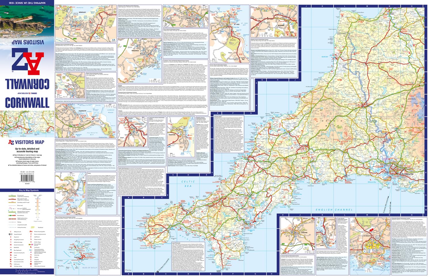
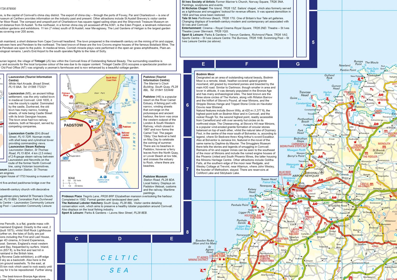
Wegenkaart - landkaart Visitors map Cornwall | A-Z Map Company (9780008653118)

- ISBN / CODE: 9780008653118
- Editie: 2024
- Schaal: 1:200000
- Uitgever: A-Z Map Company
- Soort: Wegenkaart
- Serie: Visitors map
- Taal: Engels
- Hoogte: 20.0 cm
- Breedte: 11.5 cm
- Dikte: 1.0 cm
- Gewicht: 60.0 g
- Bindwijze: -
- Uitvoering: -
- Beoordeling: 4,0 ★★★★★ (1 review) Schrijf een review
-
€ 12,50
Leverbaar in 3 - 5 werkdagen in huis in Nederland Levertijd Belgie
Gratis verzending in Nederland vanaf €50,-


Beschrijving
Reviews
Niet van dezelfde kwaliteit als Michelin, maar toch ook goed bruikbaar als aanvulling op de GPS.
★★★★★ door Pol Danneels 27 juli 2023Vond u dit een nuttige review? (login om te beoordelen)
Schrijf een review
Graag horen wij wat u van dit artikel vindt. Vindt u het goed, leuk, mooi, slecht, lelijk, onbruikbaar of erg handig: schrijf gerust alles op! Het is niet alleen leuk om te doen maar u informeert andere klanten er ook nog mee!
Ook interessant voor europa/engeland/devon-cornwall
-

Fietskaart 02 Cycle Maps UK North an
€ 12,95Fietskaarten ♦ Devon - Cornwall -

Wandelkaart - Topografische kaart 20
€ 26,95Topografische kaarten ♦ Devon - Cornwall -

Wandelgids 077 Pathfinder Guides Wil
€ 18,95Wandelgidsen South West England -

Wegenkaart - landkaart 1 Road Map Br
€ 10,95Wegenkaarten South West England -

Wandelatlas 1 Adventure Atlas South
€ 17,95Wandelatlassen ♦ Devon - Cornwall