Winkelwagen
Geen items in winkelwagen
Ga naar winkelwagen
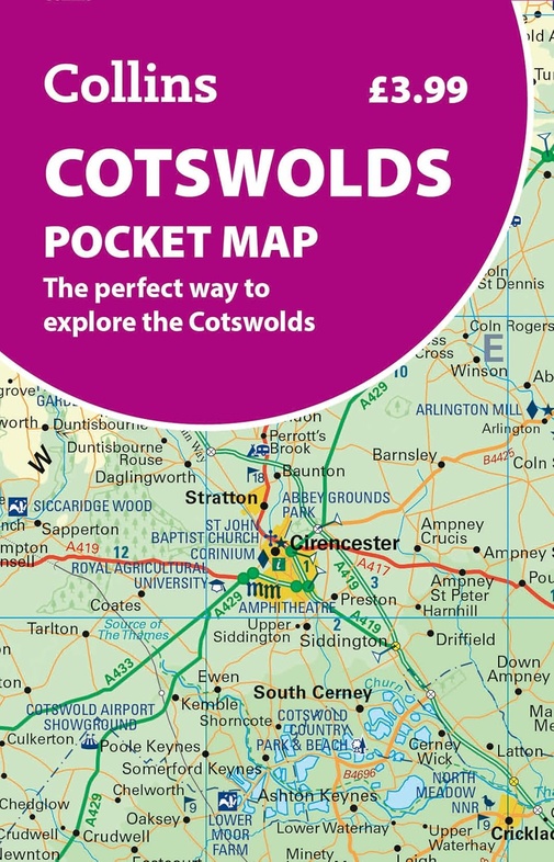
Wegenkaart - landkaart Pocket Map Cotswolds | Collins (9780008780395)
- ISBN / CODE: 9780008780395
- Editie: 04-06-2026
- Aantal blz.: 1
- Uitgever: Collins
- Soort: Wegenkaart
- Serie: Pocket Map
- Taal: Engels
- Hoogte: 14.0 cm
- Breedte: 9.0 cm
- Gewicht: 42.0 g
- Uitvoering: Papier
- Bindwijze: -
- Schrijf als eerste een review
-
€ 8,95
Dit artikel is (tijdelijk) niet leverbaar

Beschrijving
Disover new places with handy pocket maps from Collins.
The Cotswolds, in south-central England, is a picturesque region known for rolling hills, charming stone villages, and historic market towns. With its honey-colored cottages, scenic walking trails, and cozy pubs, it offers timeless rural beauty, heritage sites, and a peaceful escape in the heart of the English countryside.
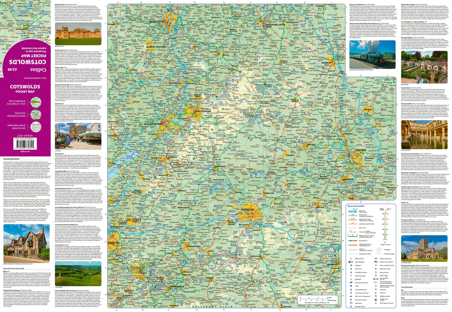
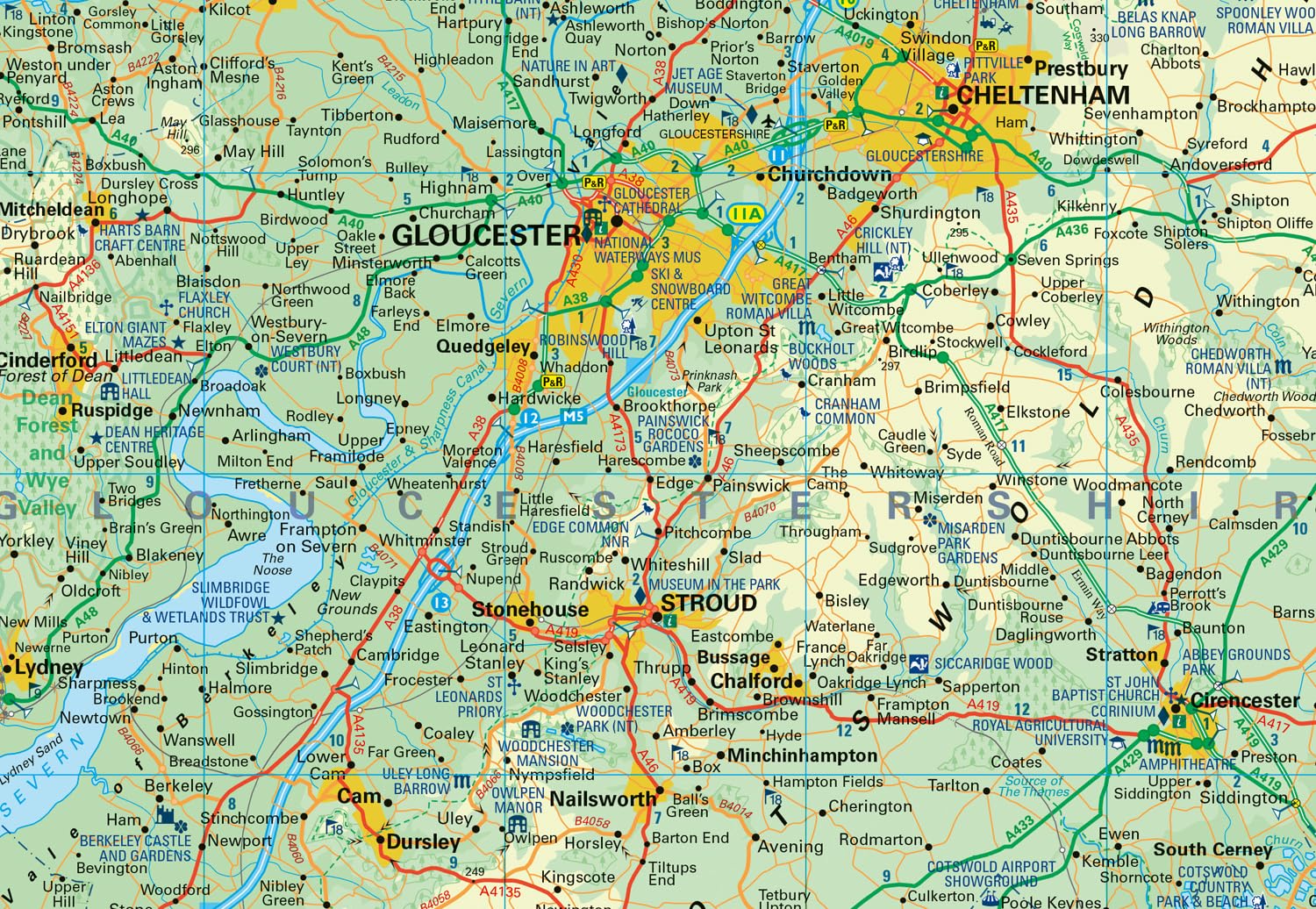
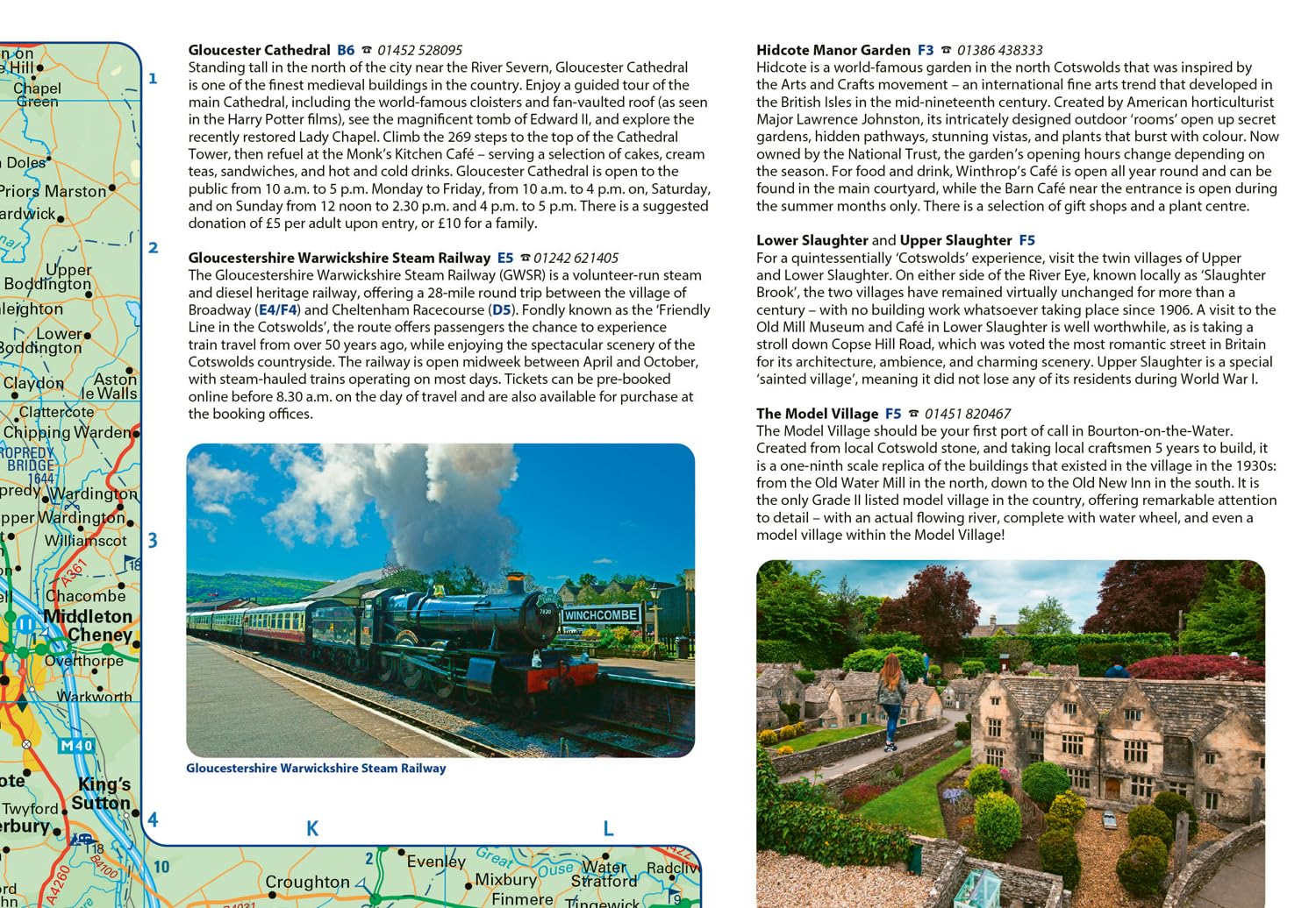
This handy little full colour map of the Cotswolds has detailed mapping and tourist information, making it ideal for any road trip.
Coverage extends to Worchester in the north, Oxford in the east, Trowbridge in the south, and Cinderford in the west.
Main features of this map include:
- Clear mapping
- Main tourist attractions located and described
- Ideal for touring with sights, places to stay, cafe/restaurant, golf courses, things to do all on the map
- Essential travel information
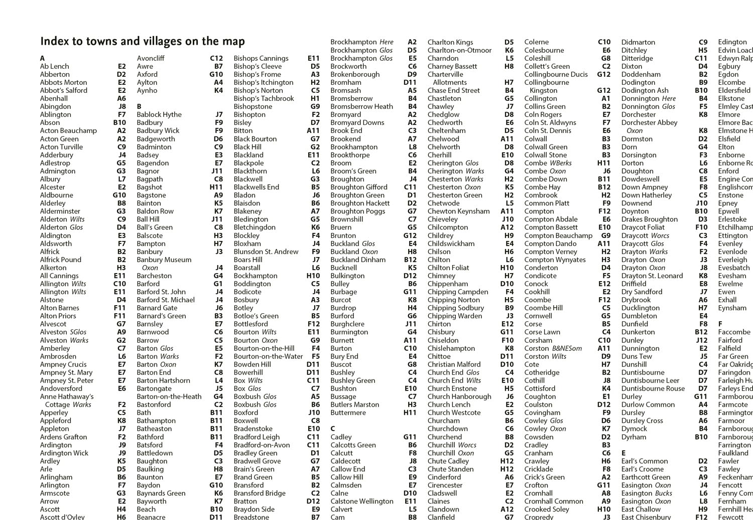
- Index to places of interest and place names
Essential for those planning a trip around the Cotswolds.
Reviews
Geen reviews gevonden voor dit product.
Schrijf een review
Graag horen wij wat u van dit artikel vindt. Vindt u het goed, leuk, mooi, slecht, lelijk, onbruikbaar of erg handig: schrijf gerust alles op! Het is niet alleen leuk om te doen maar u informeert andere klanten er ook nog mee!
Alle gerelateerde rubrieken >
Ook interessant voor europa/engeland/cotswolds
-

Fietskaart 8 Tour Map The Cotswolds
€ 11,95Fietskaarten ♦ Cotswolds AONB -

Wandelgids The Cotswold Way | Englan
€ 24,95Wandelgidsen ♦ Cotswolds AONB -

Wandelkaart North Cotswold Classic W
€ 14,95Wandelkaarten ♦ Cotswolds AONB -

Wandelatlas Adventure Atlas Cotswold
€ 17,95Wandelatlassen ♦ Cotswolds AONB -

Reisgids Oxford & Cotswolds | Edicol
€ 24,50Reisgidsen ♦ Cotswolds AONB