Winkelwagen
Geen items in winkelwagen
Ga naar winkelwagen
Topografische kaarten - Europa
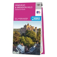 Wandelkaart - Topografische kaart 181 Landranger Minehead & Brendon Hills, Dulverton & Tiverton | Ordnance Survey
 Topografische kaart 181 MT50 Esterri d'Àneu | CNIG - Instituto Geográfico Nacional1
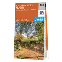 Wandelkaart - Topografische kaart 181 OS Explorer Map Chiltern Hills North | Ordnance Survey
 Topografische kaart 181-I Montardo | CNIG - Instituto Geográfico Nacional
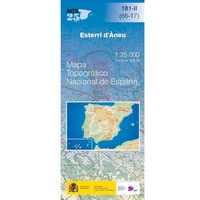 Topografische kaart 181-II Esterri d'Àneu | CNIG - Instituto Geográfico Nacional1
 Wandelkaart - Topografische kaart 1810 SB - Serie Bleue Bolbec | IGN - Institut Géographique National
 Wandelkaart - Topografische kaart 1811OT Pont Audemer Tancarville | IGN - Institut Géographique National★★★★★
 Wandelkaart - Topografische kaart 1812 SB - Serie Bleue Brionne – Cormeilles | IGN - Institut Géographique National
 Wandelkaart - Topografische kaart 1813 SB - Serie Bleue Bernay - Orbec | IGN - Institut Géographique National
 Wandelkaart - Topografische kaart 1814 SB - Serie Bleue Rugles – La Ferté-Frênel | IGN - Institut Géographique National
 Wandelkaart - Topografische kaart 1815 SB - Serie Bleue L'Aigle - Ste-Gauburge - Ste Colombe | IGN - Institut Géographique National
 Wandelkaart - Topografische kaart 1816 SB - Serie Bleue Mortagne-au-Perche - Mêle-sur-Sarthe | IGN - Institut Géographique National
 Wandelkaart - Topografische kaart 1818 SB - Serie Bleue La Ferté-Bernard | IGN - Institut Géographique National
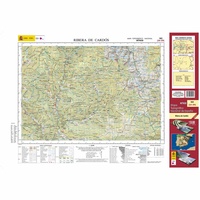 Topografische kaart 182 MT50 Rivera de Cardós | CNIG - Instituto Geográfico Nacional1
 Wandelkaart - Topografische kaart 182 Landranger Weston-super-Mare, Bridgwater & Wells | Ordnance Survey
 Wandelkaart - Topografische kaart 182 OS Explorer Map St-Albans, Hatfield | Ordnance Survey
 Topografische kaart 182-I Lladorre | CNIG - Instituto Geográfico Nacional
 Topografische kaart 182-II Àreu | CNIG - Instituto Geográfico Nacional
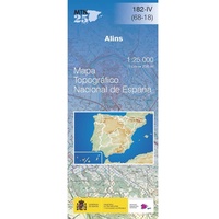 Topografische kaart 182-IV Alins | CNIG - Instituto Geográfico Nacional
 Wandelkaart - Topografische kaart 1820 SB - Serie Bleue Château-du-Loir- La Chartre-sur-Loir | IGN - Institut Géographique National★★★★★
Laatste reviews

De beste kaart
We kochten deze kaart omdat we naar een gedeelte van Kreta gingen waar we 12 jaar niet waren geweest. De kaart gaf ons actuele info …
★★★★★ door Jan Hendriks 01 juni 2026 | Heeft dit artikel gekocht
Schot in de roos!
Zeer tevreden!
★★★★★ door Godert Mollerus 01 juni 2026 | Heeft dit artikel gekocht
Hoogtepunten van Rügen in een oogopslag
Gidsje werkt voor mij goed als aanvulling op gedetailleerde reisgids Rügen, Hiddensee und Strallsund van Michael Müller Verlag. Wel een beetje populair/melig taalgebruik.
★★★★★ door Jacques 31 mei 2026 | Heeft dit artikel gekocht
Beste reisgids voor Rügen
Gedetailleerd, overzichtelijk en handzaam formaat.
★★★★★ door Jacques 31 mei 2026 | Heeft dit artikel gekocht