Winkelwagen
Geen items in winkelwagen
Ga naar winkelwagen
Topografische kaarten - Europa
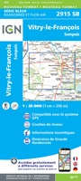 Wandelkaart - Topografische kaart 2915 SB - Serie Bleue Vitry-le-François, Sompuis | IGN - Institut Géographique National
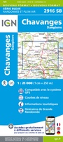 Wandelkaart - Topografische kaart 2916 SB - Serie Bleue Chavanges, Dampierre | IGN - Institut Géographique National
 Wandelkaart - Topografische kaart 2917 SB - Serie Bleue Brienne-le-Chateau, Piney, Lacs de la Foret d'Orient | IGN - Institut Géographique National
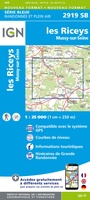 Topografische kaart - Wandelkaart 2919 SB - Serie Bleue les Riceys | IGN - Institut Géographique National
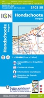 Wandelkaart - Topografische kaart 2402 SB - Serie Bleue Hondschoote - Bergues | IGN - Institut Géographique National
 Wandelkaart - Topografische kaart 2403 SB - Serie Bleue Steenvoorde - Bailleul | IGN - Institut Géographique National
 Wandelkaart - Topografische kaart 2404 SB - Serie Bleue Armentieres - Hazebrouck | IGN - Institut Géographique National
 Wandelkaart - Topografische kaart 2405 SB - Serie Bleue Lens - Béthune | IGN - Institut Géographique National
 Wandelkaart - Topografische kaart 2406 SB - Serie Bleue Arras, Avesnes-le-Comte | IGN - Institut Géographique National
 Wandelkaart - Topografische kaart 2407 SB - Serie Bleue Bapaume, Acheux-en-Amiénois | IGN - Institut Géographique National
 Wandelkaart - Topografische kaart 2408 SB - Serie Bleue Bray-sur-Somme, Albert | IGN - Institut Géographique National
 Wandelkaart - Topografische kaart 2409 SB - Serie Bleue Roye | IGN - Institut Géographique National
 Topografische kaart 241 MT50 Anguiano | CNIG - Instituto Geográfico Nacional1
 Wandelkaart - Topografische kaart 241 Val de Travers | Swisstopo
 Topografische kaart 241-I Anguiano | CNIG - Instituto Geográfico Nacional1
 Topografische kaart 241-II Torrecilla en Cameros | CNIG - Instituto Geográfico Nacional1
 Topografische kaart 241-IV Laguna de Cameros | CNIG - Instituto Geográfico Nacional1
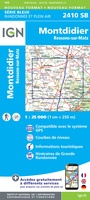 Wandelkaart - Topografische kaart 2410 SB - Serie Bleue Ressons-sur-Matz, Montdidier | IGN - Institut Géographique National
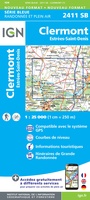 Wandelkaart - Topografische kaart 2411 SB - Serie Bleue Estrées-St-Denis, Clermont | IGN - Institut Géographique National
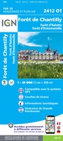 Wandelkaart - Topografische kaart 2412OT Forêt de Chantilly | IGN - Institut Géographique National★★★★★
Laatste reviews

Hoogtepunten van Rügen in een oogopslag
Gidsje werkt voor mij goed als aanvulling op gedetailleerde reisgids Rügen, Hiddensee und Strallsund van Michael Müller Verlag. Wel een beetje populair/melig taalgebruik.
★★★★★ door Jacques 31 mei 2026 | Heeft dit artikel gekocht
Beste reisgids voor Rügen
Gedetailleerd, overzichtelijk en handzaam formaat.
★★★★★ door Jacques 31 mei 2026 | Heeft dit artikel gekocht
Overzichtelijk
Prachtig vormgegeven boek met veel wetenswaardigheden en routes over de Lanquedoc
★★★★★ door WIM LUCASSEN 31 mei 2026 | Heeft dit artikel gekocht
Mooi uitgevoerde kaart maar out-of-date
Mooi uitgevoerde kaart, veel (touristische) informatie en sterk watervast papier. Maar, hoewel uitgegeven in 2022, is het databestand uit 2010. Het wegennet is Noord Spanje …
★★★★★ door Soons 30 mei 2026 | Heeft dit artikel gekocht